Pack Trail
- 1.9 mi
- round trip
- 938 ft
- climb
- 6,540 ft
- high point
- Out and back
- route
Pack Trail is an easy, out-and-back hike in northwest Montana, about 2.8 miles from the small community of Stoner Place. The trail spans roughly 3.7 miles and rises about 938 feet over the course of the trip, with the high point at 6,540 feet. That makes it a low-key outing with a modest climb. The trail is rolling in character, and the steepest stretch comes early on, around 0.55 miles from the start, where the grade reaches about 17%. The total gain and loss are each about 938 feet, so the route is roughly balanced for a return to the trailhead. The hike takes about 1.5 hours, and the nearest neighbors are Cutreef Creek Trail #275, about 1.6 miles away, and Beaver Creek, about 4 miles out. For overnight stays, Double Falls Campground and Wood Lake Campground lie within 8 miles.
Local outfitters
- Choteau Mountain View RV Campground32 mi away
Not on Roamze yet. Their page has how to reach them.
- Cutreef Creek Trail #275Hiking1.6 mi
- Beaver CreekHiking4 mi
- FORD BASIN OVERLOOKHiking4.2 mi
- Willow CreekCanoeing5.4 mi
- Double Falls CampgroundCamping6.8 mi
- Wood Lake CgCamping7.5 mi
- Home Gulch CgCamping8.3 mi
 Sun RiverCanoeingPhoto: Qfl247 (Transferred by Citypeek/Original uploaded by Qfl247), CC BY-SA 3.0 (via Wikimedia Commons)8.9 mi
Source: Roamze catalog (indexable pages within 10 miles, PostGIS distance)
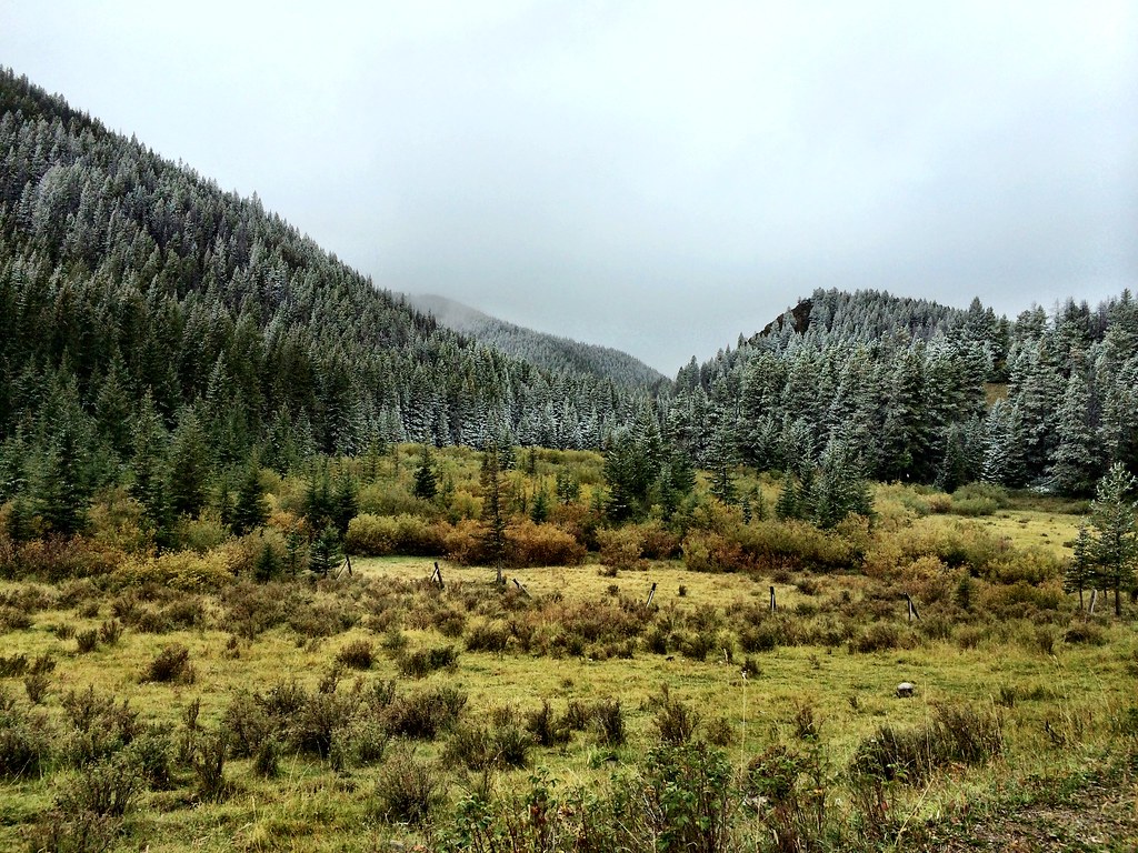 North Fork Beaver-LeavittHiking · ~9 min drivePhoto: Forest Service - Northern Region, CC BY 2.0 (via Flickr)
 FAIRVIEW CREEKHiking · ~14 min drivePhoto: Sam Beebe, CC BY 2.0 (via Flickr)
 Beaver-Mortimer ConnectorHiking · ~14 min drivePhoto: Sam Beebe, CC BY 2.0 (via Flickr)
 North Fork Ford CreekHiking · ~10 min drivePhoto: Forest Service - Northern Region, Public Domain Mark (via Flickr)
- Norwegian Gulch Trail #271Hiking · ~8 min drive
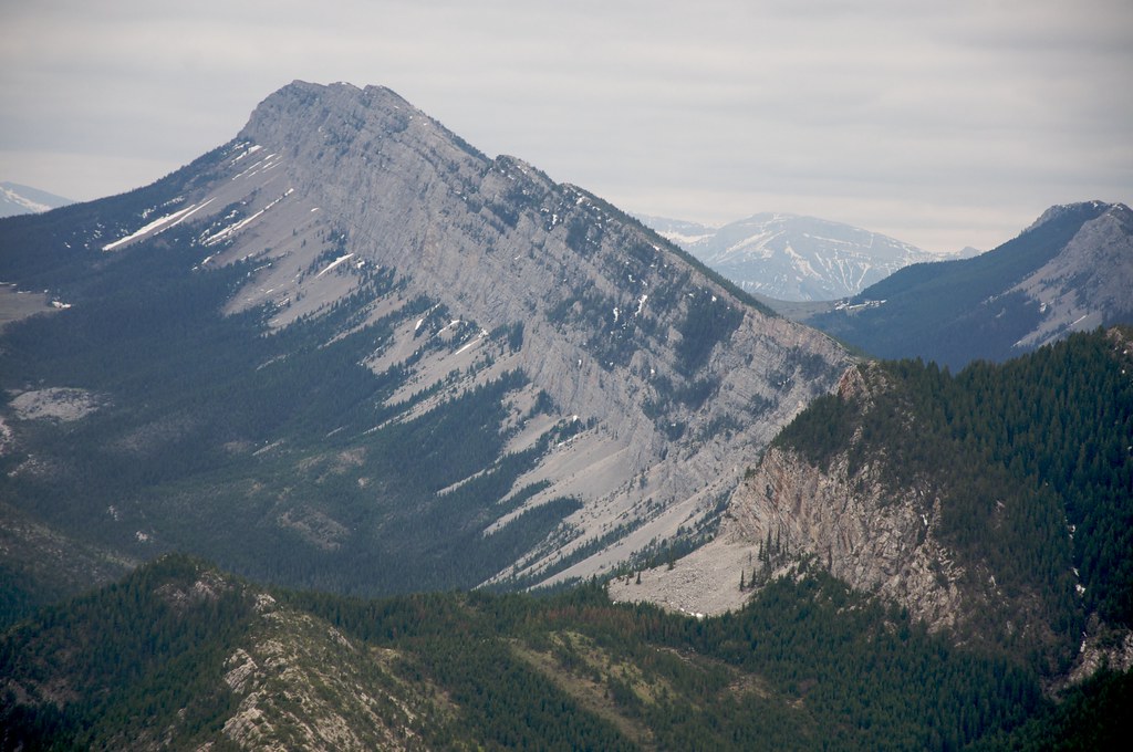 Wagner BasinHiking · ~15 min drivePhoto: Sam Beebe, CC BY 2.0 (via Flickr)
- Red Lake StockHiking · ~13 min drivePhoto: Sam Beebe, CC BY 2.0 (via Flickr)
- Fairview CreekHiking · ~9 min drive
- Lange Creek Trail (243)Hiking · ~10 min drive
- FORD BASIN OVERLOOKHiking · ~7 min drive
Map and trail data © OpenStreetMap contributors
