Moose-Furman
- 17.7 mi
- round trip
- 643 ft
- climb
- 5,377 ft
- high point
- Out and back
- route
- May–Sep
- best months
Caution at last check
Agency alerts are in effect for this area; weather is marginal · USFS, OpenWeather · checked 15 h ago
Is Moose-Furman open right now?
Alert in the area
The Forest Service lists an alert for Rocky Mountain Ranger District.
Camp Creek Fire Trail Closure
Agency alert covering Rocky Mountain Ranger District · Order 01-10- · USFS · Rocky Mountain Ranger District
As of · Source: USFS · Rocky Mountain Ranger District. Agencies don't list every closure — check before you go.
Moose-Furman is a 17.7-mile out-and-back hike in the Bob Marshall Wilderness, part of the Rocky Mountain Ranger District of the Helena-Lewis and Clark National Forest in western Montana. It's a hard route with a 643-foot elevation gain, and the Forest Service manages the land. The trail is natural-surface and allows horses but not bikes. It is not an accessible trail. Summer is the most comfortable time to go. At the Gibson Dam weather station, 6 miles away, typical July averages run a high of 79°F and a low of 45°F, with August close behind. Winter is cold, with typical January highs around 36°F and lows near 12°F. The trail starts close to other routes. Bear Creek is about 0.1 mile away and Goat Creek about 0.5 mile away. Sun Butte and Sun Butte Cutacross are each about 0.7 mile off. For an overnight base, Mortimer Gulch Campground sits about 5.2 miles away.
Local outfitters
- Choteau Mountain View RV Campground36 mi away
Not on Roamze yet. Their page has how to reach them.
Best time to go · May–Sep
Best time to visit Moose-Furman
Best months: May–September. Best months have typical highs of 55–85 °F, lows of 30 °F or warmer (32 °F where the station doesn't record snow), at most one snowy day and no more than 12 wet days.
Jan
36° / 12°
5 wet
Feb
36° / 12°
6 wet
Mar
42° / 18°
7 wet
Apr
50° / 25°
7 wet
May
59° / 33°
10 wet
Jun
67° / 39°
10 wet
Jul
79° / 45°
7 wet
Aug
78° / 43°
6 wet
Sep
67° / 36°
6 wet
Oct
54° / 29°
6 wet
Nov
42° / 20°
5 wet
Dec
35° / 13°
5 wet
Typical high / low (°F) and days with rain or snow, 1991–2020. Measured at Gibson Dam, MT, 6 mi away at 4,590 ft. The station sits about 800 ft lower than this place, so expect it a little cooler here. This station doesn't record snowfall. Source: NOAA NCEI U.S. Climate Normals 1991–2020.
Keep exploring — more trails worth the drive
 Photo: Sam Beebe, CC BY 2.0 (via Flickr)
Beaver-Mortimer Connector
~10 min drive
2.98-mile out-and-back trail in Montana with 274 ft gain.
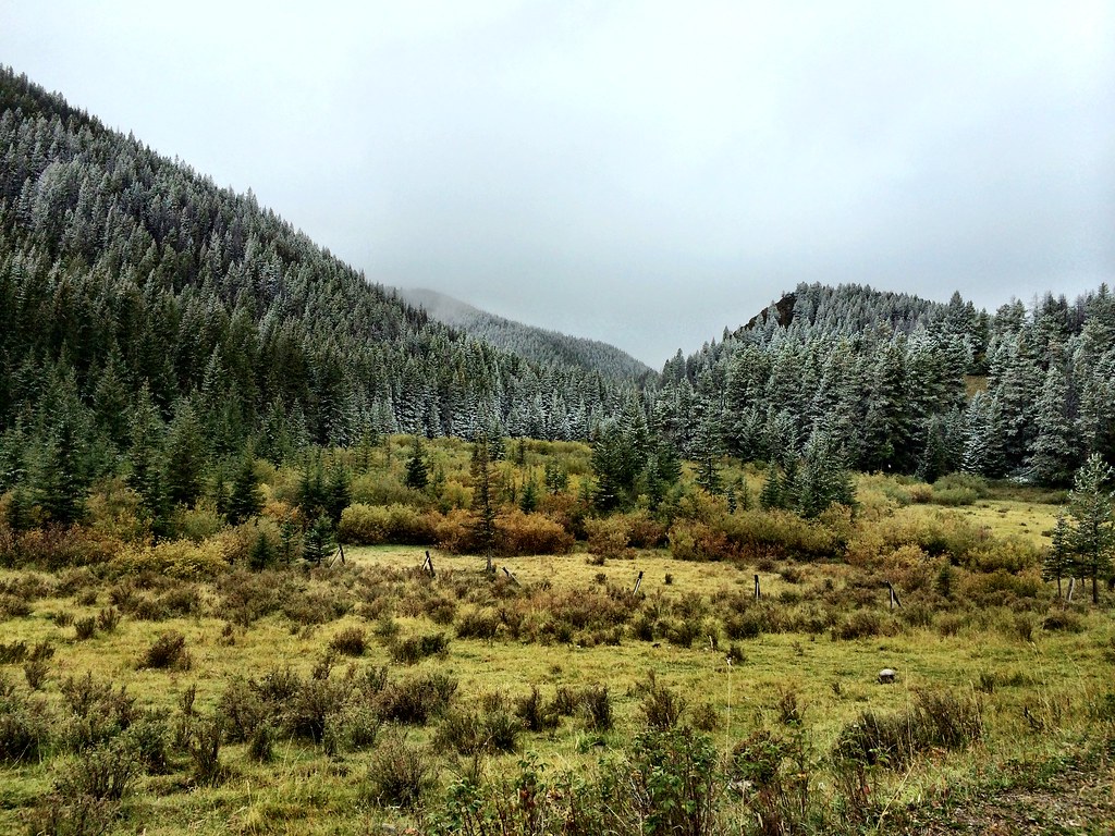 Photo: Forest Service - Northern Region, CC BY 2.0 (via Flickr)
North Fork Beaver-Leavitt
~13 min drive
5.38-mile out-and-back trail in Montana with 1,055 ft gain.
HIKE
Bear Creek
Next door
13.70-mile out-and-back trail in Montana with 2,000 ft elevation gain.
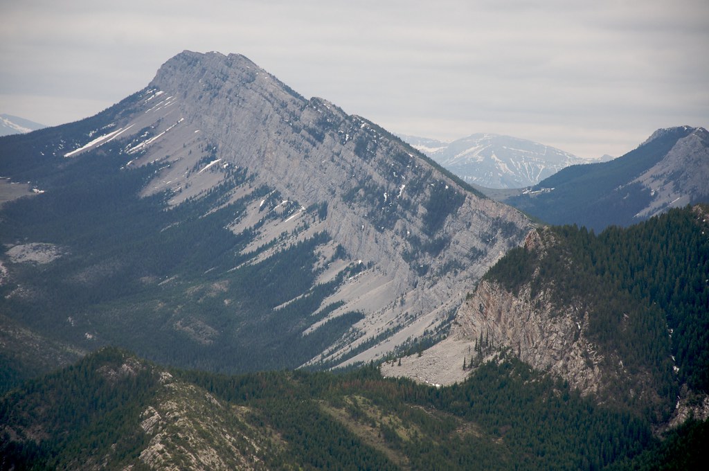 Photo: Sam Beebe, CC BY 2.0 (via Flickr)
Wagner Basin
~12 min drive
0.88-mile out-and-back trail to Wagner Basin in Montana with 244 ft of elevation gain.
Photo: Sam Beebe, CC BY 2.0 (via Flickr)Red Lake Stock
~14 min drive
2.84-mile out-and-back trail to Red Lake in Montana with 1,012 ft gain
HIKE
Goat Creek
Next door
9.55-mile out-and-back trail in Montana with 1,522 ft elevation gain.
HIKE
Sun Butte
~1 min drive
1.43-mile out-and-back trail at Sun Butte in Montana with 756 ft of elevation gain.
HIKE
Circle Creek
~7 min drive
10.79-mile out-and-back trail in Montana with 1,796 ft elevation gain.
HIKE
Windfall Creek
~3 min drive
9.67-mile out-and-back trail in Montana with 1,244 ft elevation gain.
HIKE
Lange Creek
~3 min drive
Lange Creek is a 2.19-mile out-and-back trail in Montana with 40 feet of elevation gain.

