Mayo Gulch
- 10.6 mi
- round trip
- 5,953 ft
- climb
- 5,886 ft
- high point
- Out and back
- route
- Jul–Sep
- best months
Caution at last check
Agency alerts are in effect for this area; weather is marginal · USFS, OpenWeather · checked 14 h ago
Is Mayo Gulch open right now?
Alert in the area
The Forest Service lists an alert for Lolo National Forest.
East Fork Big Creek Road & Trail Closure- Superior Ranger District
Agency alert covering Lolo National Forest · Order 26-003- · USFS · Lolo National Forest
As of · Source: USFS · Lolo National Forest. Agencies don't list every closure — check before you go.
Mayo Gulch is a hard, 10.6-mile out-and-back hike in the Superior Ranger District of Montana's Lolo National Forest. The route climbs from a start elevation of about 5,860 feet to a high point of roughly 5,886 feet, then descends back to the trailhead. That makes the total gain and loss about 5,950 feet each way. The steepest stretch comes at about 4.2 miles, where the grade reaches 36 percent. The trail is natural-surface and open to bikes, and it sits on land managed by the Forest Service. The hike is year-round, and a trip should take about 6.5 hours. Summer is the most comfortable time to go. A nearby weather station at a similar elevation records typical July and August highs around 70°F with only about six wet days a month, while winter months typically stay near freezing. Flat Rock Creek and Boyd Mountain are both within about 3 miles. Cabin City Campground is roughly 5 miles away, and Twelvemile Creek, a canoeing route, is about 5.4 miles off.
- FLAT ROCK CREEKHiking2.4 mi
- BOYD MOUNTAINHiking2.8 mi
- KEITH CREEKHiking3.4 mi
- Flat Rock RidgeHiking4.5 mi
- Cabin City CgCamping4.8 mi
- Twelvemile CreekCanoeing5.4 mi
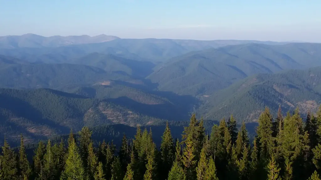 Up Up LookoutCampingPhoto: Recreation.gov (RIDB) / public domain8.8 mi
- Deer Creek CampgroundCamping9.9 mi
Source: Roamze catalog (indexable pages within 10 miles, PostGIS distance)
- FLAT ROCK CREEKHiking · ~4 min drive
- KEITH CREEKHiking · ~6 min drive
- Flat Rock RidgeHiking · ~8 min drive
- DEBORGIA / TWELVEMILE CREEKHiking · ~14 min drive
- OLSON PEAKHiking · ~8 min drive
- Maynard Loge Nature Conserv.Hiking · ~9 min drive
- RIVER TRAILHiking · ~12 min drive
- UP-UP / DEER CREEKHiking · ~15 min drive
- Rte of the OlympianHiking · ~9 min drive
- Dee CreekHiking · ~12 min drive
Best time to visit Mayo Gulch
Best months: July–September. Best months have typical highs of 55–85 °F, lows of 30 °F or warmer (32 °F where the station doesn't record snow), at most one snowy day and no more than 12 wet days.
Jan
28° / 19°
19 wet
Feb
28° / 19°
17 wet
Mar
34° / 22°
19 wet
Apr
40° / 27°
17 wet
May
50° / 36°
15 wet
Jun
58° / 42°
13 wet
Jul
70° / 52°
6 wet
Aug
69° / 51°
6 wet
Sep
59° / 44°
8 wet
Oct
44° / 32°
13 wet
Nov
32° / 23°
17 wet
Dec
27° / 18°
18 wet
Typical high / low (°F) and days with rain or snow, 1991–2020. Measured at Mullan Pass Vor/Dme, ID, 23.5 mi away at 6,028 ft. This station doesn't record snowfall. Source: NOAA NCEI U.S. Climate Normals 1991–2020.
