Many Hides Trail
- 2.5 mi
- round trip
- 194 ft
- climb
- 5,089 ft
- high point
- Out and back
- route
- May–Sep
- best months
Many Hides Trail is an easy out-and-back hike in Montana, about 4 miles from the town of Kiowa. The trail is roughly 5 miles long and gains about 194 feet of elevation, with the high point at 5,089 feet. The climb is flat for most of the way, with the steepest stretch at about 2.4 miles in, where the grade reaches 3 percent. Summer is the most comfortable time to go. Typical July and August highs reach about 74°F with lows in the mid-40s, based on averages from a nearby weather station at E Glacier. That station sits a few hundred feet lower than the trail's high point, so temperatures up high run slightly cooler. The trip takes about two hours. For more time on foot, the Milk River Ridge Bdy and Gambler Trail are both within about 8 miles. Running Eagle Falls Nature Trail is a little farther, about 9 miles away.
Local outfitters
- North American RV Park & Yurt Village39 mi away
- Sunset RV Park41 mi away
Not on Roamze yet. Their page has how to reach them.
- Milk River Ridge BdyHiking6.4 mi
- Gambler TrailHiking7.5 mi
 Cut Bank CreekCanoeingPhoto: Royalbroil, CC BY-SA 3.0 (via Wikimedia Commons)8.6 mi
 Running Eagle Falls Nature TrailHikingPhoto: Greg Willis from Denver, CO, usa, CC BY-SA 2.0 (via Wikimedia Commons)9 mi
Source: Roamze catalog (indexable pages within 10 miles, PostGIS distance)
 Dry ForkHiking · ~14 min drivePhoto: Arbron, CC BY 2.0 (via Flickr)
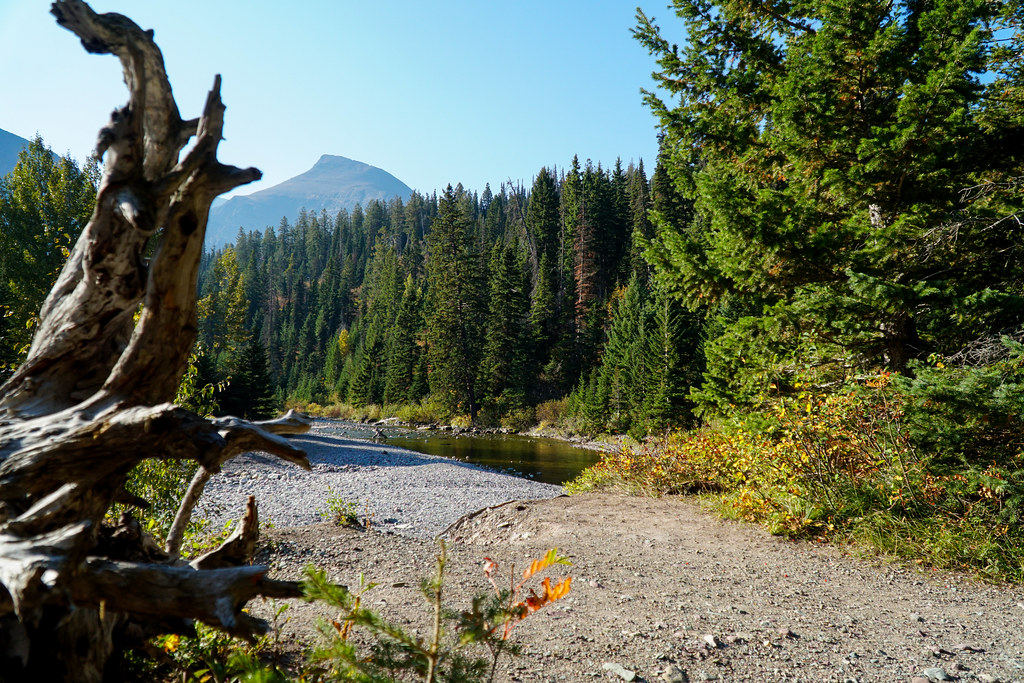 Running Eagle FallsHiking · ~15 min drivePhoto: GlacierNPS, Public Domain Mark (via Flickr)
- Running Eagle Falls Nature TrailHiking · ~16 min drivePhoto: Greg Willis from Denver, CO, usa, CC BY-SA 2.0 (via Wikimedia Commons)
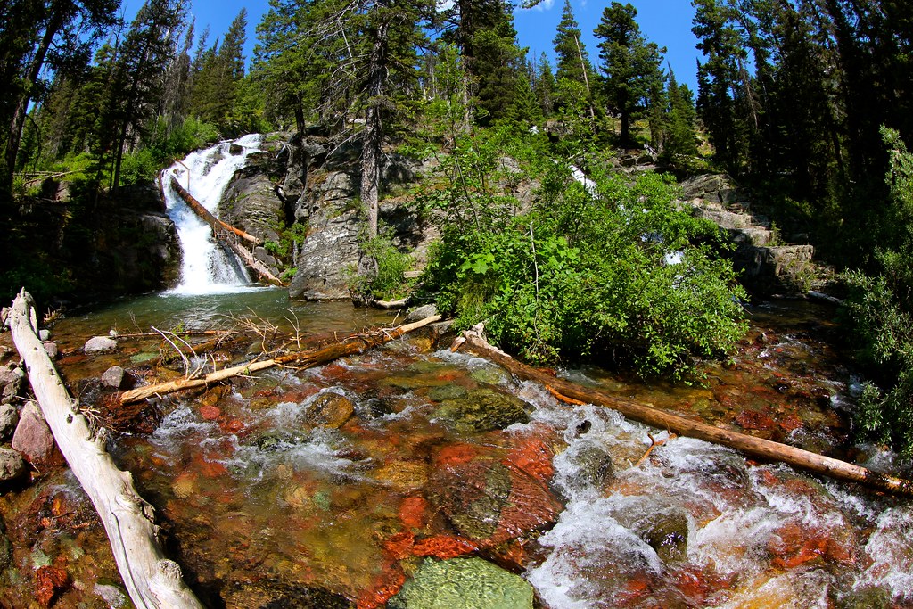 Dawson PassHiking · ~21 min drivePhoto: roy.luck, CC BY 2.0 (via Flickr)
 Red EagleHiking · ~22 min drivePhoto: GlacierNPS, Public Domain Mark (via Flickr)
 Divide CreekHiking · ~18 min drivePhoto: Tony Webster, CC BY 2.0 (via Flickr)
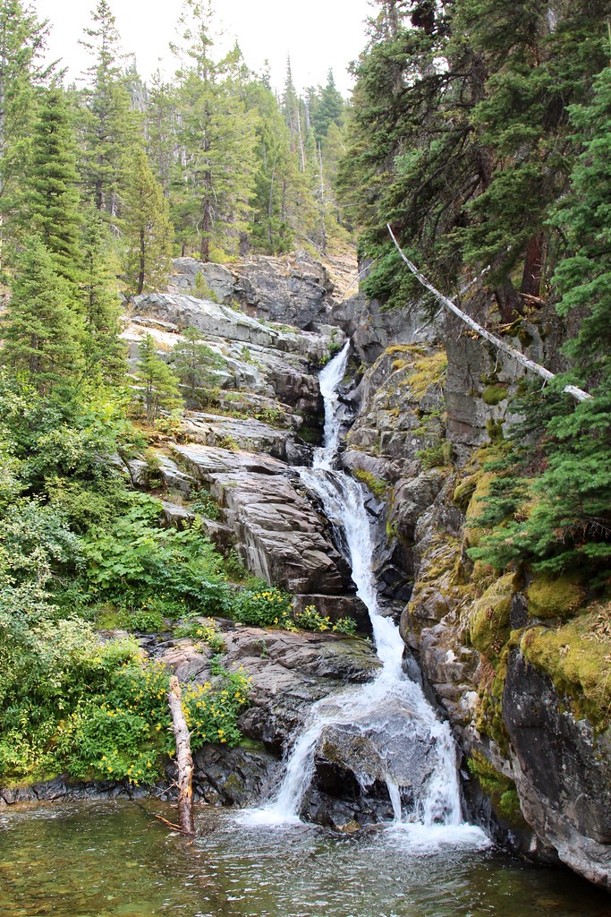 Aster ParkHiking · ~19 min drivePhoto: daveynin, CC BY 2.0 (via Flickr)
 Paradise Point TrailHiking · ~18 min drivePhoto: Greg Willis from Denver, CO, usa, CC BY-SA 2.0 (via Wikimedia Commons)
- Two Medicine PassHiking · ~29 min drive
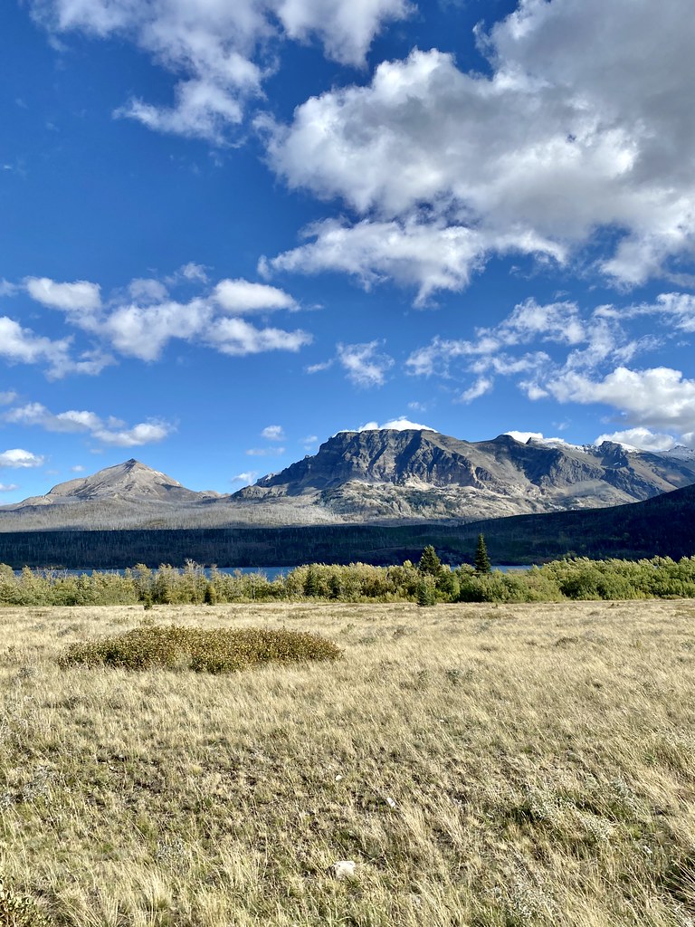 Rose Creek TrailHiking · ~25 min drivePhoto: w_lemay, CC BY-SA 2.0 (via Flickr)
Best time to visit Many Hides Trail
Best months: May–September. Best months have typical highs of 55–85 °F, lows of 30 °F or warmer (32 °F where the station doesn't record snow), at most one snowy day and no more than 12 wet days.
Jan
30° / 13°
Feb
30° / 13°
Mar
37° / 19°
Apr
46° / 27°
May
56° / 34°
Jun
64° / 41°
Jul
74° / 46°
Aug
74° / 44°
Sep
63° / 38°
Oct
50° / 29°
Nov
36° / 22°
Dec
29° / 15°
Typical high / low (°F) and days with rain or snow, 1991–2020. Measured at E Glacier, MT, 10.9 mi away at 4,806 ft. This station doesn't record snowfall. Source: NOAA NCEI U.S. Climate Normals 1991–2020.
Map and trail data © OpenStreetMap contributors
