Lakeside Glide
- 1.8 mi
- round trip
- 1,384 ft
- climb
- 4,475 ft
- high point
- Out and back
- route
- May–Oct
- best months
Is LAKESIDE GLIDE open right now?
Alert in the area
The Forest Service lists 5 alerts for Flathead National Forest.
Camp Creek Fire Updated Trail Closure
Agency alert covering Flathead National Forest · Order 01-10- · USFS · Flathead National Forest
FK&L Area Closed to Public Access Starting July 22, 2026
Agency alert covering Flathead National Forest · Order 01-10- · USFS · Flathead National Forest
Trail 800 Tally-Ashely Closure
Agency alert covering Flathead National Forest · Order 01-10- · USFS · Flathead National Forest
Ryan Creek Occupancy and Use Order
Agency alert covering Flathead National Forest · Order 1-10- · USFS · Flathead National Forest
Logan Creek Hoke Creek Closure
Agency alert covering Flathead National Forest · Order 01-10- · USFS · Flathead National Forest
As of · Source: USFS · Flathead National Forest. Agencies don't list every closure — check before you go.
Lakeside Glide is a moderate out-and-back hike in the Swan Lake Ranger District of Flathead National Forest in northwest Montana, managed by the Forest Service. The trail is about 3.5 miles long, with a total elevation gain of 1,384 feet, and the one-way climb reaches about 811 feet. The route starts at roughly 4,188 feet and peaks at about 4,475 feet, with the steepest stretch around 1.6 miles in at about 12%. Summer is the most comfortable time to go. Typical averages from a nearby weather station in Bigfork show July highs around 80°F with lows near 55°F, and August is similar. That station sits well below the trail, so temperatures on the route run cooler. Several other trails start close by. Powerline Loop and Z - Descent are both about 0.4 miles away, and Z - LOOP is about 0.6 miles off. For a longer outing, the Lakeside to Blacktail hike is about 1.8 miles away.
Local outfitters
- Rocky Mountain Outfitter15 mi away
- North American RV Park & Yurt Village34 mi away
Not on Roamze yet. Their page has how to reach them.
- Powerline LoopCross-country skiing0.4 mi
- Z - DescentCross-country skiing0.4 mi
- Blacktail GlideCross-country skiing0.5 mi
- Z - LOOPHiking0.6 mi
- Telemark DescentCross-country skiing0.7 mi
- Alpine LoopCross-country skiing0.9 mi
- Lakeside to BlacktailHiking1.8 mi
- Flathead Lake CircumnavigationCanoeing9 mi
Source: Roamze catalog (indexable pages within 10 miles, PostGIS distance)
 Osprey Overlook TrailHiking · ~11 min drivePhoto: LukeDetwiler, CC BY 2.0 (via Flickr)
 Lone Pine TrailHiking · ~22 min drivePhoto: astrophotography_andy, CC BY 2.0 (via Flickr)
- POWERLINE LOOPHiking · Next door
- Peterson Creek TrailHiking · ~32 min drive
- Linderman Lookout TrailHiking · ~11 min drivePhoto: LukeDetwiler, CC BY 2.0 (via Flickr)
- ALPINE LOOPHiking · ~2 min drive
- Lakeside to BlacktailHiking · ~3 min drive
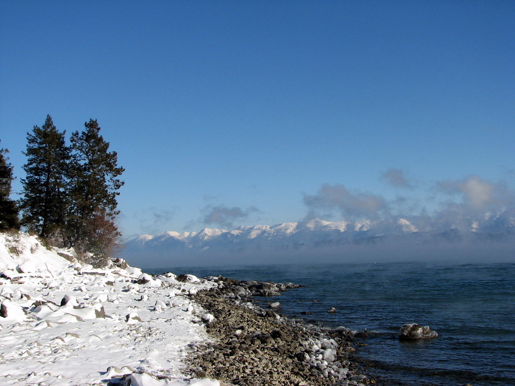 Pileated PathHiking · ~11 min drivePhoto: Stupid Dingo, CC BY 2.0 (via Flickr)
- Zachary's TrailHiking · ~18 min drive
- Foys to BlacktailHiking · ~12 min drive
Best time to visit LAKESIDE GLIDE
Best months: May–October. Best months have typical highs of 55–85 °F, lows of 30 °F or warmer (32 °F where the station doesn't record snow), at most one snowy day and no more than 12 wet days.
Jan
34° / 25°
10 wet
Feb
37° / 26°
8 wet
Mar
45° / 30°
9 wet
Apr
53° / 35°
9 wet
May
63° / 43°
10 wet
Jun
70° / 49°
10 wet
Jul
80° / 55°
6 wet
Aug
79° / 54°
5 wet
Sep
69° / 47°
6 wet
Oct
55° / 38°
8 wet
Nov
42° / 32°
9 wet
Dec
34° / 26°
10 wet
Typical high / low (°F) and days with rain or snow, 1991–2020. Measured at Bigfork 13 S, MT, 15.1 mi away at 2,979 ft. The station sits about 1,500 ft lower than this place, so expect it a little cooler here. This station doesn't record snowfall. Source: NOAA NCEI U.S. Climate Normals 1991–2020.
