Lake Agnes
- 4.8 mi
- round trip
- 3,305 ft
- climb
- 8,000 ft
- high point
- Out and back
- route
- Jun–Sep
- best months
Is LAKE AGNES open right now?
Closure in the area
There's a closure order in Beaverhead-Deerlodge National Forest. It doesn't name LAKE AGNES, so check the source for the area it covers (2 listed).
Annual Food Storage Order
Agency closure covering Beaverhead-Deerlodge National Forest · Order 02-00-22-02 · USFS · Beaverhead-Deerlodge National Forest
Pallet Prohibition Order Butte Ranger District
Agency closure covering Beaverhead-Deerlodge National Forest · Order 01020425-01 · USFS · Beaverhead-Deerlodge National Forest
Lost Creek Area - Road Closure
Agency alert covering Beaverhead-Deerlodge National Forest · USFS · Beaverhead-Deerlodge National Forest
Montana BDR Alternative Route
Agency alert covering Beaverhead-Deerlodge National Forest · USFS · Beaverhead-Deerlodge National Forest
Lost Creek Area - Road Closure
Agency alert covering Beaverhead-Deerlodge National Forest · Order 01020826-02 · USFS · Beaverhead-Deerlodge National Forest
As of · Source: USFS · Beaverhead-Deerlodge National Forest. Agencies don't list every closure — check before you go.
Lake Agnes is a 9.64-mile out-and-back trail in Montana with 3,305 feet of elevation gain and loss. The route reaches a maximum elevation of 8,000 feet.
Local outfitters
- Copper Court RV Park42 mi away
Not on Roamze yet. Their page has how to reach them.
- BROWNES LAKE - WISE RIVERHiking1.2 mi
- Gorge LakesHiking2.5 mi
- GORGE CREEKHiking2.6 mi
- Tendoy LakeHiking3.6 mi
- Dinner Station CampgroundCamping7 mi
- Canyon Creek CampgroundCamping7 mi
- Birch Creek CabinCamping8 mi
- Mono Creek CampgroundCamping9.2 mi
Source: Roamze catalog (indexable pages within 10 miles, PostGIS distance)
 LION CREEKHiking · ~12 min drivePhoto: GSEC, CC BY 2.0 (via Flickr)
 Brownes LakeHiking · ~16 min drivePhoto: TexasExplorer98, CC BY 2.0 (via Flickr)
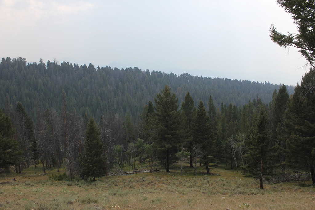 BLUE CREEKHiking · ~22 min drivePhoto: TexasExplorer98, CC BY 2.0 (via Flickr)
 CLIFFORD CREEKHiking · ~22 min drivePhoto: TexasExplorer98, CC BY 2.0 (via Flickr)
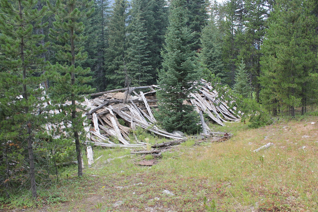 ELKHORN CREEKHiking · ~13 min drivePhoto: TexasExplorer98, CC BY 2.0 (via Flickr)
- BROWNES LAKE - WISE RIVERHiking · ~2 min drive
- SHEEP CREEKHiking · ~24 min drivePhoto: TexasExplorer98, CC BY 2.0 (via Flickr)
- BOOT AND PEAR LAKEHiking · ~13 min drive
 OLD HOT SRPINGS TRAILHiking · ~19 min drivePhoto: TexasExplorer98, CC BY 2.0 (via Flickr)
- Gold CreekHiking · ~12 min drive
Best time to visit LAKE AGNES
Best months: June–September. Best months have typical highs of 55–85 °F, lows of 30 °F or warmer (32 °F where the station doesn't record snow), at most one snowy day and no more than 12 wet days.
Jan
28° / 8°
6 wet
Feb
31° / 8°
6 wet
Mar
39° / 16°
8 wet
Apr
46° / 23°
9 wet
May
57° / 31°
10 wet
Jun
66° / 37°
9 wet
Jul
77° / 42°
6 wet
Aug
76° / 39°
5 wet
Sep
66° / 32°
4 wet
Oct
51° / 25°
5 wet
Nov
36° / 14°
7 wet
Dec
27° / 7°
7 wet
Typical high / low (°F) and days with rain or snow, 1991–2020. Measured at Jackson, MT, 27.5 mi away at 6,480 ft. The station sits about 1,500 ft lower than this place, so expect it a little cooler here. This station doesn't record snowfall. Source: NOAA NCEI U.S. Climate Normals 1991–2020.
