Grand Menard Envir Discovery
- 2.1 mi
- round trip
- 66 ft
- climb
- 3,492 ft
- high point
- Out and back
- route
- Jun, Sep–Oct
- best months
Is Grand Menard Envir Discovery open right now?
Alert in the area
The Forest Service lists an alert for Lolo National Forest.
East Fork Big Creek Road & Trail Closure- Superior Ranger District
Agency alert covering Lolo National Forest · Order 26-003- · USFS · Lolo National Forest
As of · Source: USFS · Lolo National Forest. Agencies don't list every closure — check before you go.
Grand Menard Envir Discovery is an easy, short hike of about 2 miles on natural trail in the Ninemile Ranger District of Lolo National Forest in Montana. It is an out-and-back route with a total elevation gain of about 66 feet, rising from about 3,420 feet to about 3,490 feet. The trail is open year-round and is managed by the Forest Service. Bikes are allowed, so it works for hikers and riders alike. Summer is the most comfortable time to visit. Typical averages from the nearby Alberton weather station show July highs around 87°F and lows near 49°F, with snow days dropping to zero from May through September. Winter brings highs in the low to mid 30s and regular snow days, so expect colder conditions from November through April. The Grand Menard Short Loop, a mountain biking route, starts just 0.2 miles away. Kreis Pond Red Loop is a hike 0.8 miles off, and Kreis Pond Campground is about 1.9 miles away. Climbers can find the Alberton Rest Stop climbing area roughly 9 miles from the trail.
Local outfitters
- Granite Peak RV Resort15 mi away
Not on Roamze yet. Their page has how to reach them.
Best time to go · Jun, Sep–Oct
Best time to visit Grand Menard Envir Discovery
Best months: June and September–October. Best months have typical highs of 55–85 °F, lows of 30 °F or warmer (32 °F where the station doesn't record snow), at most one snowy day and no more than 12 wet days.
Jan
35° / 18°
14 wet · 9 snow
Feb
40° / 20°
12 wet · 8 snow
Mar
49° / 24°
14 wet · 5 snow
Apr
58° / 30°
13 wet · 2 snow
May
68° / 38°
13 wet
Jun
75° / 44°
12 wet
Jul
87° / 49°
6 wet
Aug
86° / 47°
6 wet
Sep
76° / 40°
8 wet
Oct
58° / 30°
12 wet · 1 snow
Nov
41° / 24°
13 wet · 5 snow
Dec
33° / 19°
14 wet · 9 snow
Typical high / low (°F) and days with rain or snow, 1991–2020. Measured at Alberton, MT, 6.3 mi away at 3,060 ft. Source: NOAA NCEI U.S. Climate Normals 1991–2020.
Keep exploring — more trails worth the drive
 Photo: Forest Service - Northern Region, Public Domain Mark (via Flickr)
Ch-Paa-Qn Peak
~6 min drive
5.17-mile out-and-back trail to Ch-Paa-Qn Peak in Montana with 1,893 ft of elevation gain.
 Photo: astrophotography_andy, CC BY 2.0 (via Flickr)
High Point Trail
~33 min drive
0.44-mile lollipop trail in Montana with 197 ft elevation loss and 4,864 ft max elevation.
HIKE
Stark Mountain
~9 min drive
7.81-mile out-and-back trail in Montana with 3,393 ft elevation gain.
HIKE
Kreis Pond Yellow Loop
~3 min drive
3.96-mile out-and-back trail in Montana with 343 ft elevation gain.
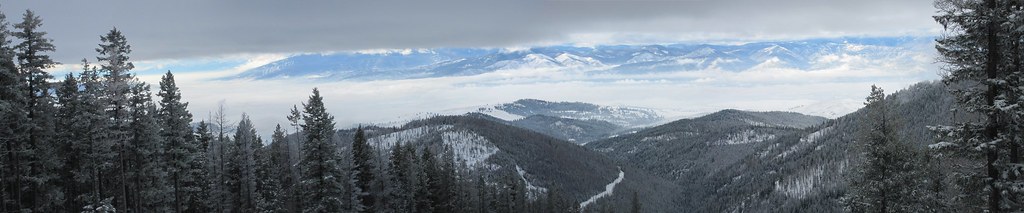 Photo: Evan-Lovely, CC BY-SA 2.0 (via Flickr)
Snowbowl Mountain Bike
~33 min drive
8.06-mile out-and-back trail in Montana with 60 ft of elevation gain.
HIKE
Kennedy Creek
~11 min drive
8.01-mile out-and-back trail in Montana with 1,590 ft elevation gain.
HIKE
Kreis Pond Green Loop
~3 min drive
2.34-mile loop trail around Kreis Pond in Montana with 277 ft of elevation gain.
HIKE
Valley Creek 1300 section of heavey alder
~13 min drive
1.04-mile out-and-back trail in Montana with 519 ft elevation gain and loss.
HIKE
Reservation Divide
~13 min drive
14.08-mile out-and-back trail in Montana with 518 ft elevation gain.
HIKE
Kreis Pond Blue Loop
~4 min drive
4.64-mile out-and-back trail in Montana with 405 ft elevation gain.
