Hoadley Creek
- 10.3 mi
- round trip
- 1,619 ft
- climb
- 7,088 ft
- high point
- Out and back
- route
Is Hoadley Creek open right now?
Alert in the area
The Forest Service lists an alert for Rocky Mountain Ranger District.
Camp Creek Fire Trail Closure
Agency alert covering Rocky Mountain Ranger District · Order 01-10- · USFS · Rocky Mountain Ranger District
As of · Source: USFS · Rocky Mountain Ranger District. Agencies don't list every closure — check before you go.
Hoadley Creek is a hard hike in the Scapegoat Wilderness, part of the Rocky Mountain Ranger District of the Helena-Lewis and Clark National Forest in Montana. The trail is about 10 miles long, with a one-way elevation gain of about 1,600 feet, and it is an out-and-back route. The trail is on natural surface and is not accessible. Horses are allowed, but bikes are not. The Forest Service manages the land. The most comfortable time to go is summer, when typical averages from a nearby weather station run in the low to mid 70s °F. Winter is cold, with typical averages in the teens and 20s. Nearby, Ellis Creek is about 2 miles away, and the South Fork Sun River offers canoeing at about 2 miles. Benchmark Campground and South Fork Campground are both within 3 miles.
Local outfitters
- Choteau Mountain View RV Campground43 mi away
Not on Roamze yet. Their page has how to reach them.
Keep exploring — more trails worth the drive
 Photo: Sam Beebe, CC BY 2.0 (via Flickr)
FAIRVIEW CREEK
~7 min drive
5.38-mile out-and-back trail in Montana with 4,313 ft elevation gain.
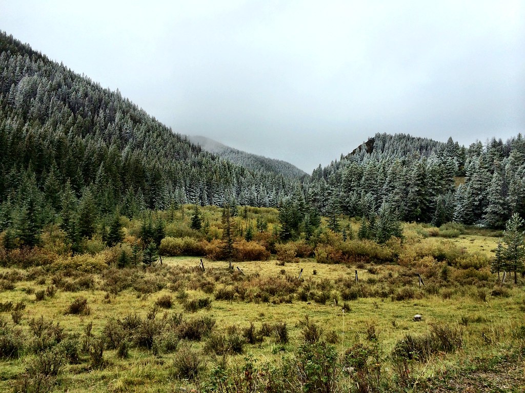 Photo: Forest Service - Northern Region, CC BY 2.0 (via Flickr)
North Fork Beaver-Leavitt
~16 min drive
5.38-mile out-and-back trail in Montana with 1,055 ft gain.
HIKE
SOUTH FORK SUN CUTOFF
~4 min drive
1.14-mile out-and-back trail in Montana with 388 ft elevation gain
HIKE
Ellis Creek
~3 min drive
7.13-mile out-and-back trail in Montana with 1,468 ft elevation gain.
HIKE
Patrol Mountain Lookout
~5 min drive
3.66-mile loop trail at Patrol Mountain Lookout in Montana with 2,411 ft gain
HIKE
Benchmark Corral Spur
~5 min drive
0.64-mile out-and-back trail at Benchmark Corral in Montana with 63 ft of elevation gain.
HIKE
Straight Creek
~6 min drive
13.47-mile out-and-back trail at Straight Creek in Montana with 604 ft elevation gain.
HIKE
Deer Creek
~6 min drive
6.68-mile out-and-back trail in Montana with 1,540 ft elevation gain.
HIKE
South Fk Sun TH Connector
~5 min drive
1.46-mile out-and-back trail in Montana with 34 ft of elevation gain.
HIKE
Benchmark Creek
~6 min drive
12.49-mile out-and-back trail in Montana with 2,525 ft elevation gain.
