Loading…

Free — you'll pick up right here.
Watch this trail
Sign up to watch it — saving subscribes you to gate, closure and report changes.
Montana
5.8 mi
Distance
362 ft
Gain
2h 7m
Time
We won't guess. Here is exactly what we do and don't know.
What we do know
Inside Yellowstone National Park
National Park unit boundary is mapped — agency alerts for it feed this page automatically.
Boundary data
What's missing
No access route mapped
We don't yet know which road reaches this trailhead, so we can't tell you if it's gated.
Nobody's filed a report here yet — be the first.
Why you'll love it
Garnet Hill Loop Trailhead (2K2)
AI-suggested draft · review before you go
Situated in Pleasant Valley near Tower Junction, this trailhead provides access to the following trail: Garnet Hill Loop Trail There is very limited parking at this trailhead. However, a large parking lot is located at the Tower Junction Trailhead just to the south. Garnet Hill Loop Trail This moderate 7.6-mile (12.2-km) loop trail follows a dirt stagecoach road through sagebrush meadows to Yancy's creek. The trail continues north along Elk Creek through meadows and forest until nearly reaching the Yellowstone River. Here the trail divides: the west fork joins the Hellroaring Trail, (if desired, take the trail for an extra 1/2 mile to the suspension bridge over the Yellowstone River). The east fork traverses around Garnet Hill and back to Tower. CAUTION: Grizzly bears frequent this area. Backcountry Regulations Permit required for fishing, boating, riding, and overnight camping. More information at the Center Backcountry Office: (307) 344-2160. Hiking Hike in groups of 3 or more; keep your group together. Tell someone where you are going and when you expect to return. Know your route, carry a map, and be able to navigate. Do not hike after dark. Stay on established trails; off-trail travel prohibited in thermal areas. Fishing and Boating Aquatic Invasive Species (AIS) inspection required for all watercraft including boats, float tubes, and stand up paddle boards. Felt soles prohibited. Riding and Packing Proof of negative Coggins test within last 12 months required. Food Storage and Camping These regulations apply to ALL backcountry users. Sleep 100 yards (91 m) from your food storage and cooking areas. Do not leave food, trash, toiletries, backpacks, coolers, water bottles, or any potential attractant unattended. Store food in an approved bear resistant container or hang on a food pole 10 feet (3 m) above the ground and 4 feet (1 m) from sides. Carry a minimum of 35 feet (11 m) of rope. Campfires allowed only in designated campsites within established fire rings. Extinguish campfires completely before leaving site. Follow LEAVE NO TRACE travel and camping techniques. Enjoy the backcountry and help keep it clean for others to enjoy. Bury human waste and toilet tissue in a 6–8 inch (15–18 cm) deep “cat hole” at least 100 feet (30 m) from water and trails. River Crossings Park waters are swift and cold. Swimming in park rivers is not recommended. River crossings are hazardous. Lightning Safety During thunderstorms, descend to lower elevation, avoid open areas and isolated tall trees. Assume lightning position: feet together, crouch on foam pad or sit on pack, hands over ears. Regulations Leave What You Find: Do not collect anything from the park. No Pets: No pets on trail. Obtain service animal regulations at backcountry offices. No Hunting: No hunting or discharge of firearms. No Motorized Vehicles: No motorized vehicles on trails. Wheeled Vehicles Restricted: No bicycles, strollers, or wheeled vehicles (except wheelchairs), except where specified. In an emergency, dial 9-1-1 or contact the nearest ranger station. Animals are Dangerous Do not approach or feed any animal. Bison and elk have injured people. Stay 100 yards (91 m) from bears and wolves. Stay 25 yards (23 m) from all other animals. Be Prepared for a Bear Encounter Grizzly and black bears inhabit all of Yellowstone National Park. Be Alert: Watch for signs of bear activity: scratches in trees, tracks, scat, or dig sites. Avoid dead animals. Make Noise: Avoid surprising a bear by calling out and clapping your hands at regular intervals to make your presence known. Carry Bear Spray: Carry bear spray and know how to use it. Keep it immediately available, not inside your pack. Hike in Groups: Travel in groups of 3 or more is recommended. Stay with your group at all times. What to do... If You Encounter a Bear: Stay calm, do not run. Quietly detour or back away; stop if this seems to agitate the bear. Stay at least 100 yards (91 m) from bears. Do NOT feed bears or other animals. If a Bear Charges You: Stand still, do not run. Stand your ground and use your bear spray. Spray when the bear is 60 feet (18 m) away or closer. If a bear charges, it may be a bluff charge. If a Bear Makes Contact: Drop to the ground; play dead. Lie face down and clasp your hands over the back of your neck; stay still and silent. Wait several minutes after the bear leaves before getting up and leaving the area.
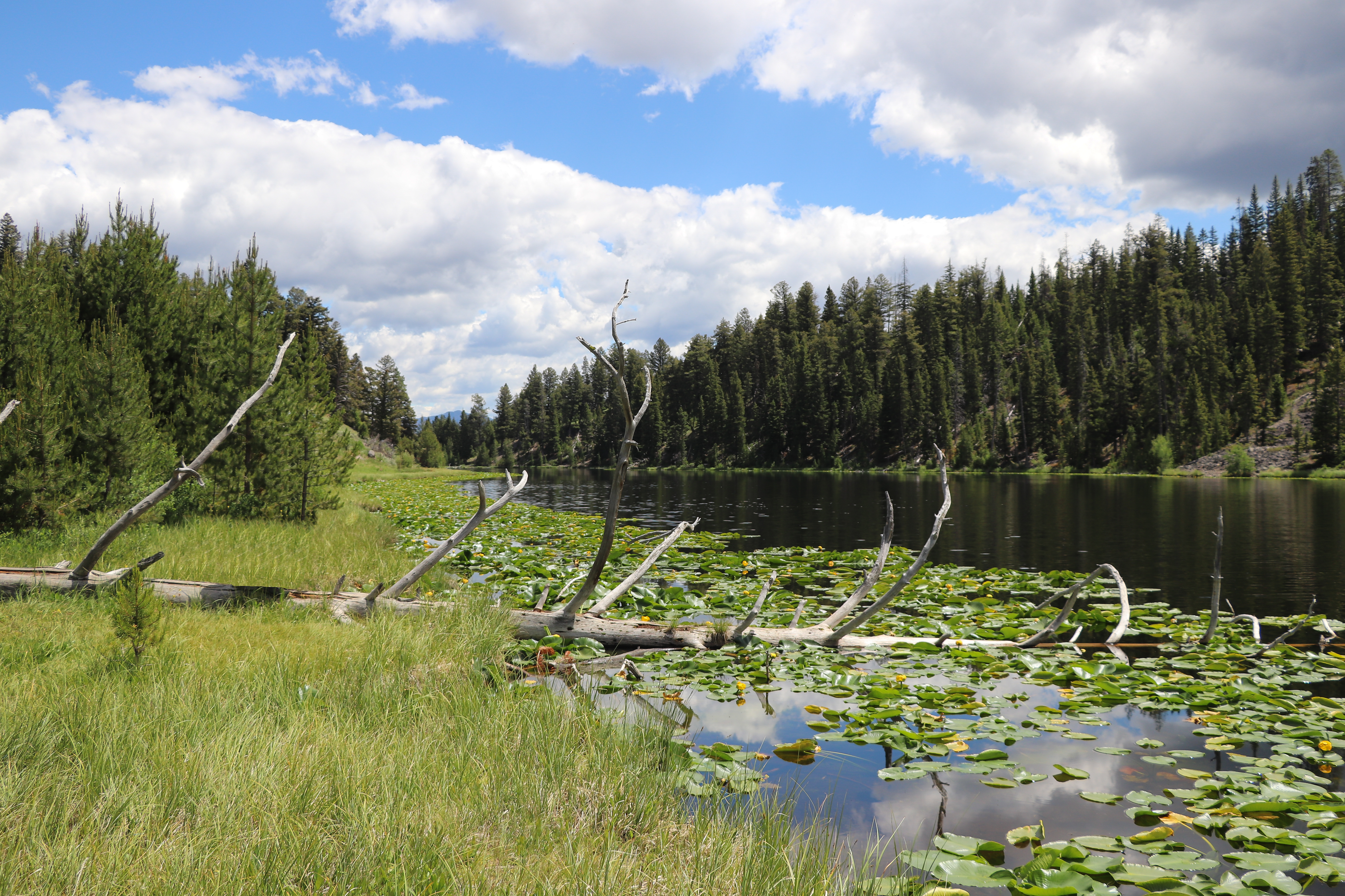
Lost Lake Loop
~1 min drive
Round trip 2.8 miles (4.6 km), moderate. The trail climbs 300 feet up a forested hillside. At the junction, veer right (west). You reach Lost Lake in 0.2 miles (0.3 km). From there, follow the trail through a ravine to the Petrified Tree parking area. From the parking lot, th…

Lost Lake
~1 min drive
6.6 mi · Moderate
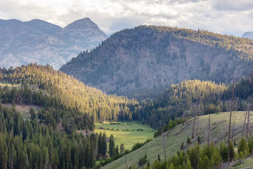
Burned Trees
~2 min drive
<p>Burned trees and those that have died for other reasons still contribute to the ecosystem. For example, dead standing trees provide nesting cavities for many types of animals; fallen trees provide food and shelter for animals and nutrients for the soil. However, park manage…
Poacher
~14 min drive
Moderate 13.23-mile backcountry trail with 1,855 ft elevation gain.
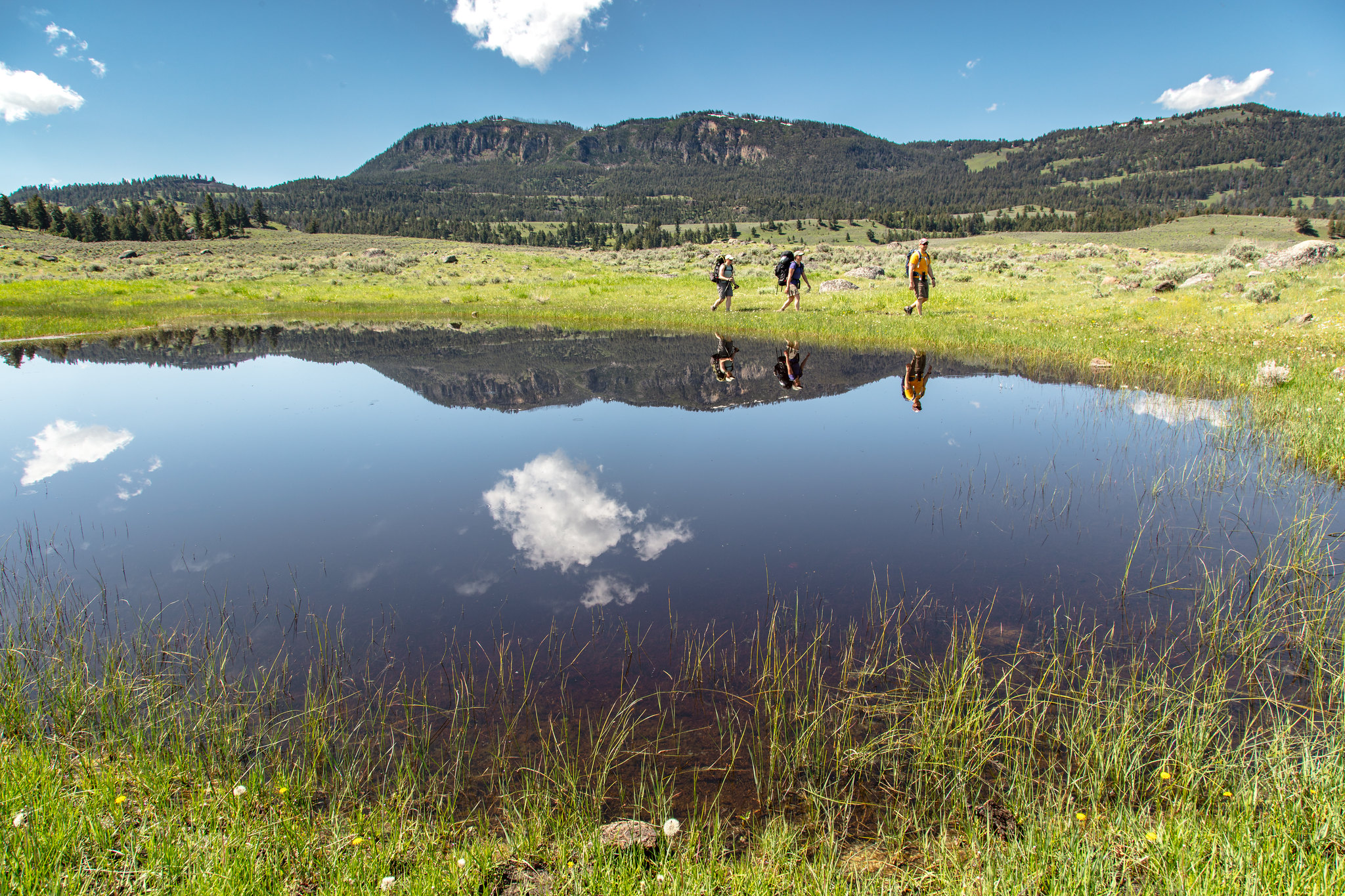
Hellroaring Trailhead (2K8)
~5 min drive
Nestled a 1/4-mile (0.4-km) off the Grand Loop Road, this trailhead provides access to the following trails: Buffalo Plateau Trail Coyote Creek Trail Garnet Hill Loop Trail Hellroaring Creek Trail There is a decent amount of parking at the trailhead. Buffalo Plateau Trai…

Dunraven Pass - Mount Washburn Trail
~16 min drive
7.0 mi · Moderate
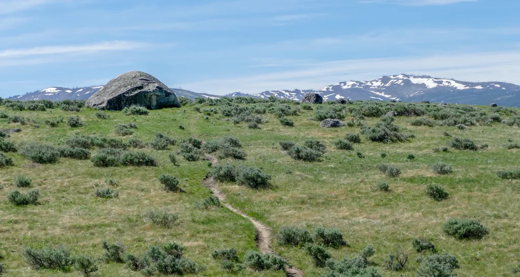
Lamar Valley - Evidence of Glaciers
~2 min drive
<p>Glaciers result when, for a period of years, more snow falls in an area than melts.</p> <p>Once the snow reaches a certain depth, it turns into ice and begins to move under the force of gravity or the pressure of its own weight.</p> <p>During this movement, rocks are picked…
Telephone Basin
~18 min drive
Remote 18-mile alpine basin trek with 2,185 ft elevation gain.

Chittenden Road - Mount Washburn Trail
~12 min drive
5.7 mi · Easy
Lamar River Bridge
~8 min drive
<p>At first, travel to and within the park was difficult. Visitors had to transport themselves or pay a costly transportation company.</p> <p>In the park, there were only a few places for food and lodging. Access improved in 1883 when the Northern Pacific Railroad reached Cinn…
