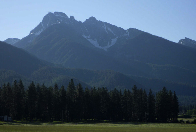
Elk Ridge
- 22.9 mi
- round trip
- 3,611 ft
- climb
- 6,991 ft
- high point
- Out and back
- route
Is Elk Ridge open right now?
Alert in the area
The Forest Service lists 5 alerts for Flathead National Forest.
Camp Creek Fire Updated Trail Closure
Agency alert covering Flathead National Forest · Order 01-10- · USFS · Flathead National Forest
FK&L Area Closed to Public Access Starting July 22, 2026
Agency alert covering Flathead National Forest · Order 01-10- · USFS · Flathead National Forest
Trail 800 Tally-Ashely Closure
Agency alert covering Flathead National Forest · Order 01-10- · USFS · Flathead National Forest
Ryan Creek Occupancy and Use Order
Agency alert covering Flathead National Forest · Order 1-10- · USFS · Flathead National Forest
Logan Creek Hoke Creek Closure
Agency alert covering Flathead National Forest · Order 01-10- · USFS · Flathead National Forest
As of · Source: USFS · Flathead National Forest. Agencies don't list every closure — check before you go.
Elk Ridge is a hard out-and-back hike in Montana's Mission Mountains Wilderness, within the Swan Lake Ranger District of Flathead National Forest. The trail is about 22.9 miles long, with a one-way elevation gain of 3,611 feet, and it rises from a low point of 3,785 feet to a high point of 6,991 feet. The Forest Service manages the land, and the trail is on natural surface, with horses allowed. The trailhead is called 9591-8 Elk Ridge TH, and it is open year-round. Plan for a full day or more, and expect a steep climb that makes this a serious outing rather than a short walk. Nearby, Cold Lakes and Hemlock Point are both hikes about 4 miles away, and Glacier Creek offers canoeing roughly 6 miles off. For an overnight base, Old Condon Ranger Station campground sits about 7.6 miles from the trail.
Local outfitters
- Granite Peak RV Resort40 mi away
Not on Roamze yet. Their page has how to reach them.
- Cold LakesHiking4.1 mi
- Hemlock PointHiking4.2 mi
- Hemlock FeederHiking4.6 mi
- Glacier CreekCanoeing5.9 mi
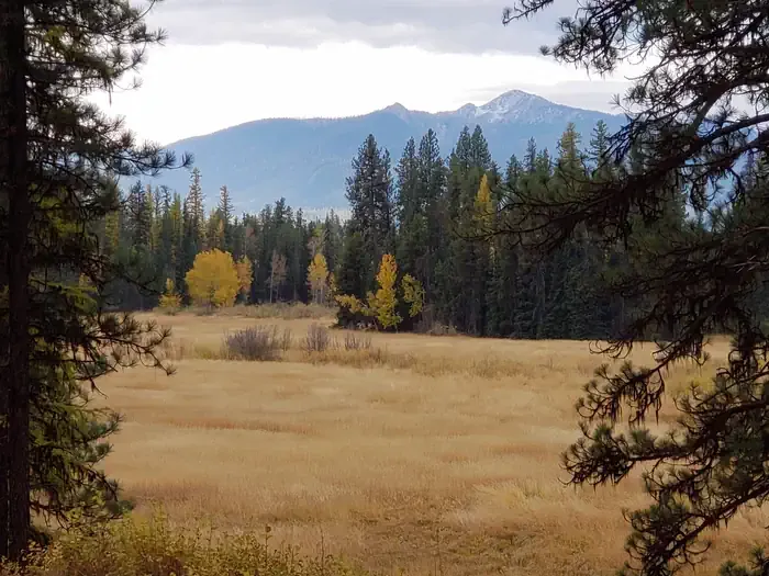 Old Condon Ranger StationCampingPhoto: Recreation.gov (RIDB) / public domain7.6 mi
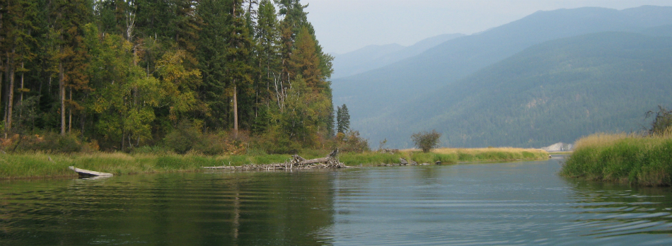 Swan RiverCanoeingPhoto: USFWS, Public domain (via Wikimedia Commons)8.3 mi
- Lindbergh Lake CampgroundCamping8.9 mi
- 10651-2 Pony Creek Dispersed Camping AreaCamping8.9 mi
Source: Roamze catalog (indexable pages within 10 miles, PostGIS distance)
 E. Holland Lake Connect.Hiking · ~20 min drivePhoto: lumachrome, CC BY-SA 2.0 (via Flickr)
- East FoothillHiking · ~22 min drivePhoto: lumachrome, CC BY-SA 2.0 (via Flickr)
- Swartz Lake LoopHiking · ~12 min drive
- Moon LakeHiking · ~15 min drive
- Cold LakesHiking · ~7 min drive
- Holland LookoutHiking · ~22 min drivePhoto: lumachrome, CC BY-SA 2.0 (via Flickr)
- Skid TrailHiking · ~16 min drive
- Kakashe MountainHiking · ~26 min drive
- Hemlock LakeHiking · ~9 min drive
- Terrace LakeHiking · ~8 min drive