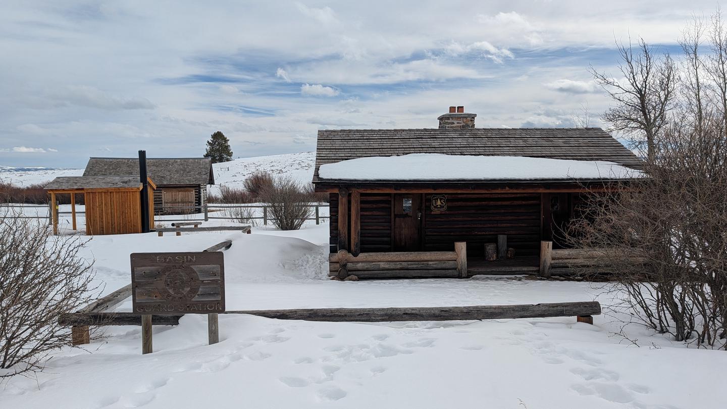
Loading…

Free — you'll pick up right here.
Watch this trail
Sign up to watch it — saving subscribes you to gate, closure and report changes.
Montana
13.9 mi
Distance
2,334 ft
Gain
5h 49m
Time
An agency closure order is in effect for this area; weather is good
2 factors · 2 sources
Newest 20 h ago · oldest 28 d
problem: Agency alerts
25 active alerts in Caribou-Targhee National Forest; most severe: 04-15-26-302 Tunnel Fire Closure
USFS28 d ago
clear: Weather
Clouds, high 55°F / low 45°F, 21% precip — 92/100 for hike
OpenWeather20 h ago
Been out here in the last few days? One report keeps this current for everyone.
Why you'll love it
Dry Fork
AI-suggested draft · review before you go
No permit or access details on file for this trail — check with the local land manager before you go.
Dry Fork is a moderately challenging 13.94-mile trail offering 2,334 feet of elevation gain through Montana's scenic backcountry. This out-and-back or loop route traverses the Dry Fork drainage, featuring typical intermountain terrain with forested sections and open ridges. The trail provides solid elevation gain and distance for a full day hike with rewarding views of the surrounding peaks and valleys.
Riverside Ski Trails Trailhead (WK9)
~19 min drive
The Riverside Ski Trail provides several easy options to ski along the Madison River and enjoy views of both the Gallatin and Madison mountain ranges. Boundary Street to loops: 1 mile (1.6 km) Downriver loop, full: 3.5 miles (5.6 km) Downriver loop, short: 2.2 miles (3.5 km) U…
Targhee Creek
~1 min drive
Moderate 12.2-mile creek-side trail with 2,081 ft gain in the Tetons.
East Fork Denny Creek
~6 min drive
Accessible 3-mile creek-side hike with 708 ft elevation gain.
Mt
~7 min drive
Quick Montana summit with steady elevation gain and panoramic views.
Gneiss Creek (WK7)
~23 min drive
This trailhead along Highway 191 in the western part of the park provides access to one trail: Gneiss Creek Trail Gneiss Creek Trail This moderate 13.9-mile (22.4-km) one-way hike that can start at either the Gneiss Creek Trailhead along Highway 191 and the western boundary…
Lionhead Loop (Snowmo)
~5 min drive
Moderate 7.26-mile snowmobile loop with 887 ft elevation gain.
Lionhead (Snowmo)
~9 min drive
Moderate snowmobile trail with gentle climbing and scenic winter views.
Lionhead
~7 min drive
Easy 2-mile trail with minimal elevation gain near Lionhead.
Two Top Divide
~7 min drive
Quick out-and-back climb to an alpine divide with panoramic views.
West Fork Watkins
~10 min drive
Moderate 7.24-mile trail with 1,342 ft gain through West Fork drainage.