Loading trail…

Free — you'll pick up right here.
Save this plan
Sign up to save your own editable copy — you'll pick up right here.
Montana
0.6 mi
Distance
389 ft
Gain
19 min
Time
No conditions check on file for this trail yet — always verify current conditions before you go.
Why you'll love it
Two Top Divide
AI-suggested draft · review before you go
No permit or access details on file for this trail — check with the local land manager before you go.
Two Top Divide is a short out-and-back trail in Montana offering quick alpine access with minimal commitment. This brief hike ascends to a scenic divide with expansive views of the surrounding peaks and valleys, making it ideal for visitors seeking high-country vistas without extensive mileage.
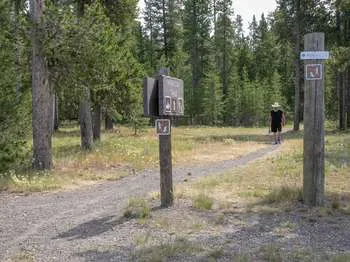
Riverside Ski Trails Trailhead (WK9)
~13 min drive
The Riverside Ski Trail provides several easy options to ski along the Madison River and enjoy views of both the Gallatin and Madison mountain ranges. Boundary Street to loops: 1 mile (1.6 km) Downriver loop, full: 3.5 miles (5.6 km) Downriver loop, short: 2.2 miles (3.5 km) U…
Mt
~0 min drive
Quick Montana summit with steady elevation gain and panoramic views.
East Fork Denny Creek
~4 min drive
Accessible 3-mile creek-side hike with 708 ft elevation gain.
Lionhead Loop (Snowmo)
~5 min drive
Moderate 7.26-mile snowmobile loop with 887 ft elevation gain.
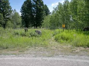
Gneiss Creek (WK7)
~21 min drive
This trailhead along Highway 191 in the western part of the park provides access to one trail: Gneiss Creek Trail Gneiss Creek Trail This moderate 13.9-mile (22.4-km) one-way hike that can start at either the Gneiss Creek Trailhead along Highway 191 and the western boundary…
Jerrys Journey (Xc)
~11 min drive
Easy 1.92-mile cross-country ski trail with minimal elevation gain.
Lionhead (Snowmo)
~4 min drive
Moderate snowmobile trail with gentle climbing and scenic winter views.
Targhee Creek
~6 min drive
Moderate 12.2-mile creek-side trail with 2,081 ft gain in the Tetons.
Connector to Riverside Ski Trails Trail
~15 min drive
Quick out-and-back connector to Riverside Ski Trails system.
Volunteer (Xc)
~11 min drive
Easy 2.8-mile cross-country ski trail with minimal elevation gain.