Deer Lake
- 0.3 mi
- round trip
- 125 ft
- climb
- 9,132 ft
- high point
- Out and back
- route
Caution at last check
Agency alerts are in effect for this area; weather is good · USFS, OpenWeather · checked 12 h ago
Is Deer Lake open right now?
Closure in the area
There's a closure order in Bozeman Ranger District. It doesn't name Deer Lake, so check the source for the area it covers (17 listed).
Hyalite Canyon South Road #620 Closure
Agency closure covering Bozeman Ranger District · Order 01-11-06-27-03 · USFS · Bozeman Ranger District
Sourdough/Bozeman Creek Trailhead and Trail Closure
Agency closure covering Bozeman Ranger District · Order 01-11-06-27-02 · USFS · Bozeman Ranger District
NFSR #1700 South Plateau Road Closure
Agency closure covering Custer Gallatin National Forest · USFS · Custer Gallatin National Forest
Storm Castle Creek Trail #185 Temporarily Closed Due to Storm Damage
Agency closure covering Bozeman Ranger District · Order 01-11-06-26-07 · USFS · Bozeman Ranger District
Hyalite Porcupine Buffalo Horn Summer Interim Travel Order and Map and Order # 01-11-00-26-02
Agency closure covering Custer Gallatin National Forest · Order 01-11-00-26-02 · USFS · Custer Gallatin National Forest
As of · Source: USFS · Bozeman Ranger District. Agencies don't list every closure — check before you go.
Deer Lake is a short, easy hike in the Lee Metcalf Wilderness, part of the Bozeman Ranger District of Custer Gallatin National Forest in Montana. The trail is about 0.34 miles long, with a one-way climb of about 125 feet from a low point of roughly 9,000 feet to a high of about 9,130 feet. The route is natural-surface and rated easy. Horses are allowed, and bikes are not. The Forest Service manages the land. For more time in the area, Gallatin Peak and Dudley Creek are both about 3 miles away. Lava Lake offers climbing about 4 miles off, and Moose Creek campground sits about 5.4 miles away.
Local outfitters
- Yellowstone Safari Company28 mi away
Not on Roamze yet. Their page has how to reach them.
Keep exploring — more trails worth the drive
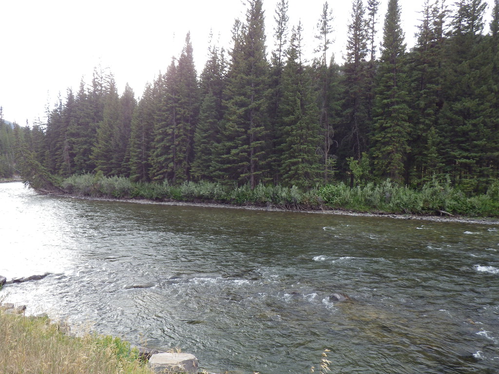 Photo: Matt Lavin, CC BY-SA 2.0 (via Flickr)
Deer Creek
~6 min drive
16.42-mile out-and-back trail in Montana with 3,127 ft elevation gain.
 Photo: Matt Lavin, CC BY-SA 2.0 (via Flickr)
Reflector Trail
~6 min drive
2.47-mile loop in Montana with 1,214 ft gain/loss and 7,033 ft max elevation.
Photo: Matt Lavin, CC BY-SA 2.0 (via Flickr)Upper Deer Creek
~7 min drive
0.35-mile out-and-back trail at Upper Deer Creek in Montana.
HIKE
North Fork Hellroaring
~8 min drive
11.66-mile out-and-back trail in Montana with 3,113 ft elevation gain.
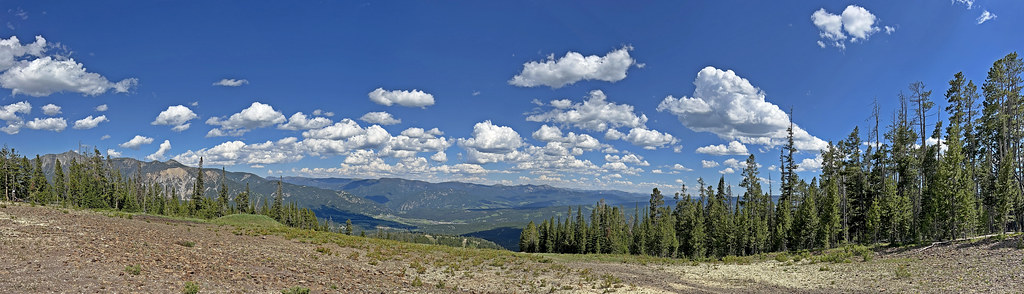 Photo: Monica's Dad, CC BY 2.0 (via Flickr)
Coolridge
~11 min drive
6.16-mile out-and-back trail in Montana with 3,043 ft elevation gain
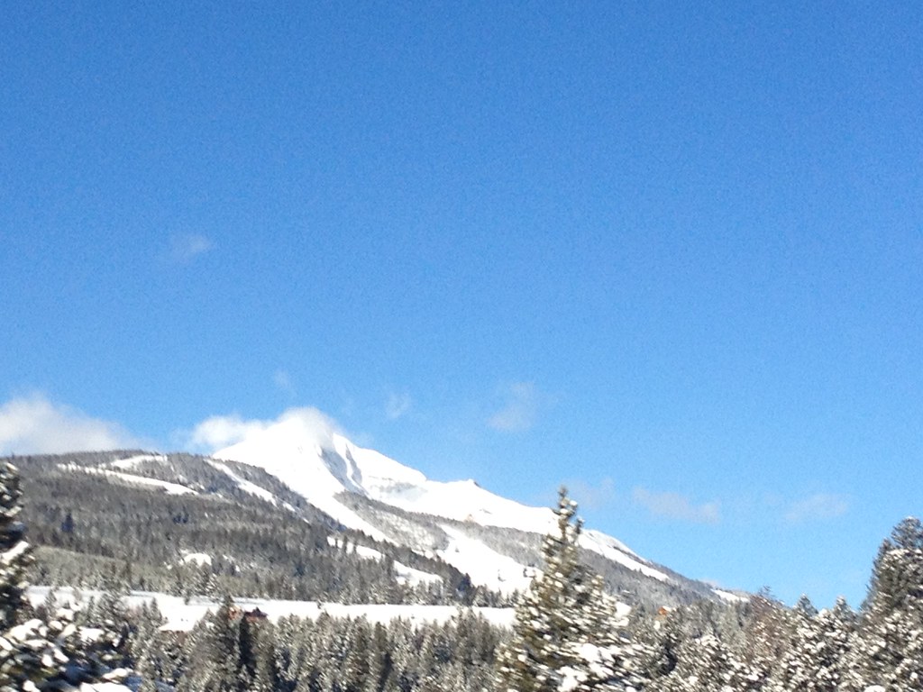 Photo: senatortester, Public Domain Mark (via Flickr)
Mountain to Meadow
~9 min drive
1.14-mile out-and-back trail in Montana with 1,119 ft gain/loss
Photo: Matt Lavin, CC BY-SA 2.0 (via Flickr)Crail Ranch Trail
~7 min drive
1.16-mile out-and-back trail in Montana with 174 ft gain and 6,285 ft max elevation.
HIKE
Lake of the Pines Trail
~15 min drive
14.16-mile out-and-back hike in Montana with 2,652 ft elevation gain and loss.
Photo: Monica's Dad, CC BY 2.0 (via Flickr)Mountain to Meadow
~11 min drive
9.08-mile out-and-back in Montana with 3,270 ft gain/loss
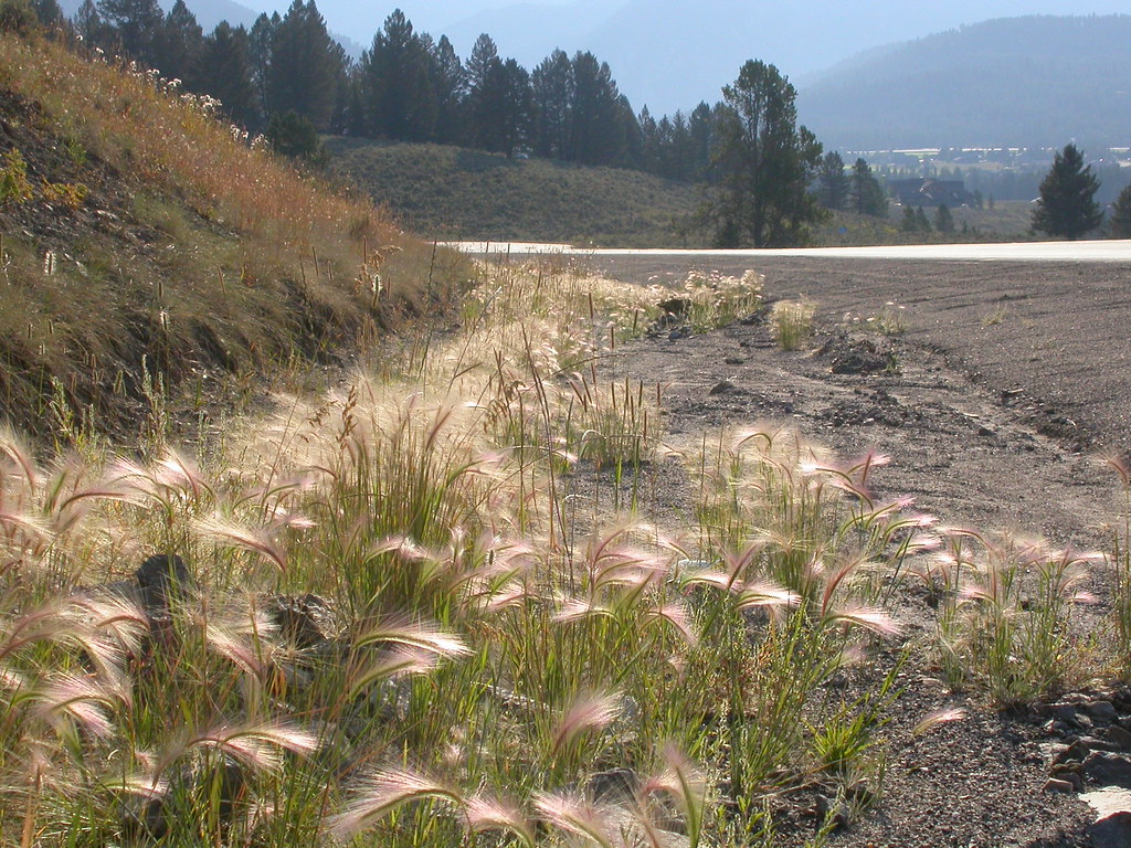 Photo: Matt Lavin, CC BY-SA 2.0 (via Flickr)
Powder Crest Trail
~10 min drive
4.16-mile out-and-back trail in Montana with 1,940 ft gain/loss.
