Crow Creek Trail
- 5.7 mi
- round trip
- 3,833 ft
- climb
- 6,878 ft
- high point
- Out and back
- route
Crow Creek Trail is a hard out-and-back hike in western Montana, about 5 miles from the town of Pablo. The route is roughly 11 miles long, with a total elevation gain of about 3,800 feet, and it reaches a high point of 6,878 feet. The climb is front-loaded, with the steepest stretch at about 4.7 miles in, where the grade reaches 33 percent. The trail starts near 3,747 feet and climbs to the high point before descending back to the starting elevation. Plan on about 5.5 hours for the round trip. Several other hikes lie within a short drive. Terrace Lake is about 5 miles away, and Swartz Lake Loop is about 5 miles off. Cold Lakes and Piper Lake are both within about 8 miles.
Local outfitters
- Granite Peak RV Resort43 mi away
- Rocky Mountain Outfitter45 mi away
Not on Roamze yet. Their page has how to reach them.
- Terrace LakeHiking5.1 mi
- Swartz Lake LoopHiking5.3 mi
- Cold LakesHiking7.4 mi
- Piper LakeHiking7.6 mi
- Cedar LakeHiking8.7 mi
- Crow CreekCanoeing9.4 mi
- Elk RidgeHiking9.5 mi
- Skid TrailHiking9.5 mi
Source: Roamze catalog (indexable pages within 10 miles, PostGIS distance)
 High Point TrailHiking · ~34 min drivePhoto: astrophotography_andy, CC BY 2.0 (via Flickr)
 East FoothillHiking · ~37 min drivePhoto: lumachrome, CC BY-SA 2.0 (via Flickr)
- E. Holland Lake Connect.Hiking · ~36 min drivePhoto: lumachrome, CC BY-SA 2.0 (via Flickr)
- Moon LakeHiking · ~18 min drive
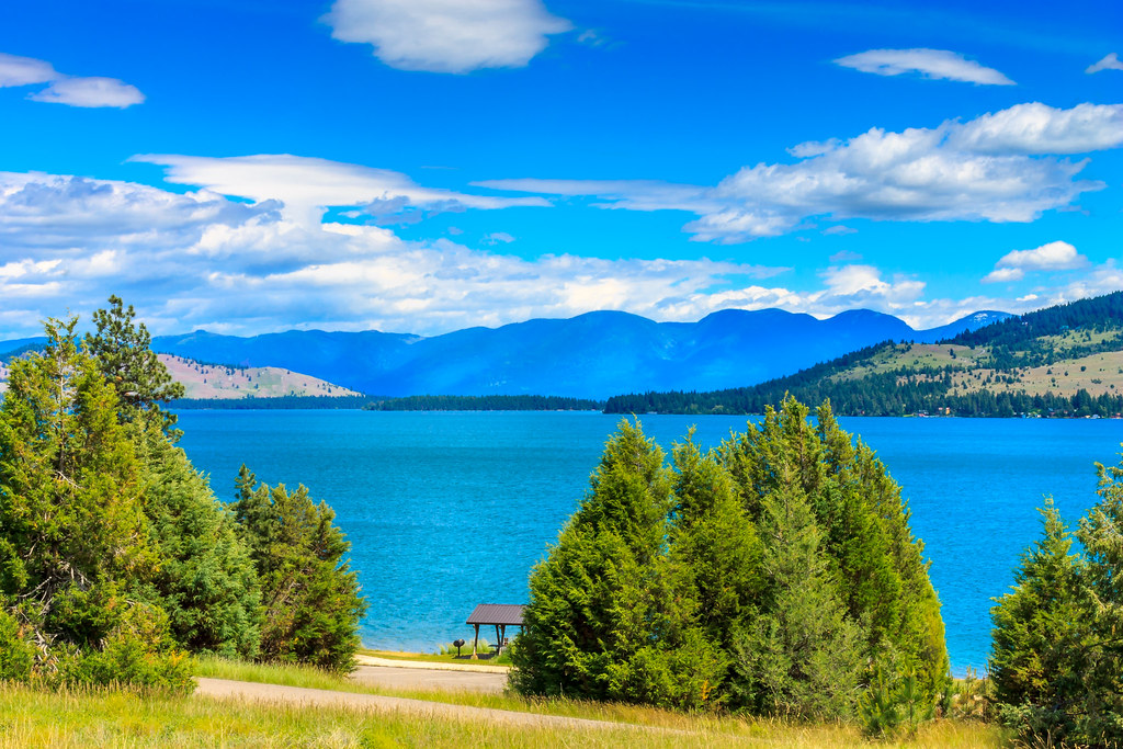 Juniper Jaunt TrailHiking · ~37 min drivePhoto: Always Shooting, CC BY 2.0 (via Flickr)
- Holland LookoutHiking · ~38 min drivePhoto: lumachrome, CC BY-SA 2.0 (via Flickr)
- Cold LakesHiking · ~13 min drive
- Kakashe MountainHiking · ~31 min drive
- Swartz Lake LoopHiking · ~9 min drive
- Terrace LakeHiking · ~9 min drive
Map and trail data © OpenStreetMap contributors
