Copper Creek Trail
- 3.8 mi
- round trip
- 2,675 ft
- climb
- 7,685 ft
- high point
- Out and back
- route
Copper Creek Trail is a 7.5-mile out-and-back hike in Montana, about 7 miles from the town of Maxville. The route gains 2,675 feet over its length, with the high point reaching 7,685 feet and the lowest point sitting at 5,241 feet. The trail is rated hard, and the steepest stretch comes at about the 1.2-mile mark, where the grade reaches nearly 29%. The climb is rolling, and the trail works as a single round trip rather than a loop. The trip is estimated to take about four hours. Nearby, Pole Ridge Trail and Combination Trail lie within about 4.5 miles, and Blackpine Ridge Trail is roughly 5.6 miles away. For paddling, Lower Willow Creek is about 9.5 miles off.
Local outfitters
- Copper Court RV Park33 mi away
- Granite Peak RV Resort48 mi away
Not on Roamze yet. Their page has how to reach them.
- POLE RIDGE TRAILHiking4.4 mi
- COMBINATION TRAILHiking4.5 mi
- BLACKPINE RIDGE TRAILHiking5.6 mi
- MCDERMOTT GULCH TRAILHiking6.3 mi
- SHYLO GULCH TRAILHiking6.6 mi
- Black pine ridge trailHiking7.6 mi
- MOUNTAIN SPRING TRAILHiking8.7 mi
- Lower Willow CreekCanoeing9.5 mi
Source: Roamze catalog (indexable pages within 10 miles, PostGIS distance)
 Welcome CreekHiking · ~28 min drivePhoto: Forest Service - Northern Region, Public Domain Mark (via Flickr)
 MUDD LAKEHiking · ~29 min drivePhoto: GSEC, CC BY 2.0 (via Flickr)
- BLACKPINE RIDGE TRAILHiking · ~10 min drive
- NORTH GRANITE TRAILHiking · ~19 min drive
- Black pine ridge trailHiking · ~13 min drive
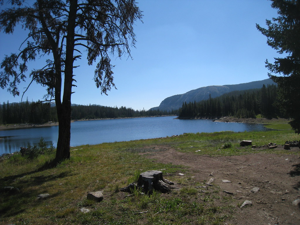 LITTLE RACE TRACK LAKEHiking · ~30 min drivePhoto: GSEC, CC BY 2.0 (via Flickr)
- RANCH CREEKHiking · ~24 min drive
- RIDGEVIEW SCENIC TRAILHiking · ~22 min drive
- MOUNTAIN SPRING TRAILHiking · ~15 min drive
- COMBINATION TRAILHiking · ~8 min drive
