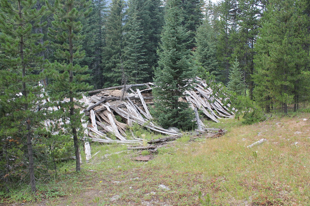
Middle Of Trees
- May–Sep
- best months
Is Middle Of Trees open right now?
Closure in the area
There's a closure order in Beaverhead-Deerlodge National Forest. It doesn't name Middle Of Trees, so check the source for the area it covers (2 listed).
Annual Food Storage Order
Agency closure covering Beaverhead-Deerlodge National Forest · Order 02-00-22-02 · USFS · Beaverhead-Deerlodge National Forest
Pallet Prohibition Order Butte Ranger District
Agency closure covering Beaverhead-Deerlodge National Forest · Order 01020425-01 · USFS · Beaverhead-Deerlodge National Forest
Lost Creek Area - Road Closure
Agency alert covering Beaverhead-Deerlodge National Forest · USFS · Beaverhead-Deerlodge National Forest
Montana BDR Alternative Route
Agency alert covering Beaverhead-Deerlodge National Forest · USFS · Beaverhead-Deerlodge National Forest
Lost Creek Area - Road Closure
Agency alert covering Beaverhead-Deerlodge National Forest · Order 01020826-02 · USFS · Beaverhead-Deerlodge National Forest
As of · Source: USFS · Beaverhead-Deerlodge National Forest. Agencies don't list every closure — check before you go.
- At 6,985 ft
- Dillon Ranger DistrictBeaverhead-Deerlodge National Forest
Middle Of Trees is a campground in Montana with 5 sites. It is managed by the Forest Service.
- Birch Creek CabinCamping3.9 mi
- Dinner Station CampgroundCamping5.9 mi
- BIRCH CREEK/BOOT/ANCHOR-PEARHiking6 mi
- DEERHEAD LAKEHiking6.1 mi
- ESTLER LAKEHiking6.5 mi
- TENT LAKEHiking7 mi
- BOOT AND PEAR LAKEHiking8.8 mi
- PEAR-MAY-TUB LAKEHiking9.2 mi
Source: Roamze catalog (indexable pages within 10 miles, PostGIS distance)
- Bilt UpCamping · ~1 min drive
- CabinCamping · ~2 min drive
- Fence SpotCamping · ~2 min drive
- TrashCamping · ~3 min drive
- Farlin GultchCamping · ~3 min drive
- Bridge SpotCamping · ~4 min drive
- Pretty RocksCamping · ~4 min drive
- Birch Creek CabinCamping · ~7 min drive
- Aspens DownCamping · ~10 min drive
- Dinner Station CampgroundCamping · ~10 min drive
Best time to visit Middle Of Trees
Best months: May–September. Best months have typical highs of 55–85 °F, lows of 30 °F or warmer (32 °F where the station doesn't record snow), at most one snowy day and no more than 12 wet days.
Jan
28° / 8°
9 wet
Feb
32° / 9°
9 wet
Mar
41° / 18°
9 wet
Apr
50° / 25°
10 wet
May
60° / 33°
12 wet
Jun
69° / 39°
10 wet
Jul
81° / 44°
7 wet
Aug
79° / 42°
6 wet
Sep
69° / 35°
6 wet
Oct
53° / 25°
7 wet
Nov
39° / 15°
8 wet
Dec
28° / 6°
10 wet
Typical high / low (°F) and days with rain or snow, 1991–2020. Measured at Dillon 18 Wsw, MT, 16.8 mi away at 5,971 ft. The station sits about 1,000 ft lower than this place, so expect it a little cooler here. This station doesn't record snowfall. Source: NOAA NCEI U.S. Climate Normals 1991–2020.