Brd2846-012
- May–Sep
- best months
Is Brd2846-012 open right now?
Closure in the area
There's a closure order in Beartooth Ranger District. It doesn't name Brd2846-012, so check the source for the area it covers (14 listed).
Krueger Pond Wild Horse and Burro Gather Closure Area
Agency closure covering Beartooth Ranger District · Order 01-11-82-27-01 · USFS · Beartooth Ranger District
NFSR #1700 South Plateau Road Closure
Agency closure covering Custer Gallatin National Forest · USFS · Custer Gallatin National Forest
Pine Grove Campground Closure
Agency closure covering Beartooth Ranger District · Order 01-11-82-26-04 · USFS · Beartooth Ranger District
Hyalite Porcupine Buffalo Horn Summer Interim Travel Order and Map and Order # 01-11-00-26-02
Agency closure covering Custer Gallatin National Forest · Order 01-11-00-26-02 · USFS · Custer Gallatin National Forest
Hyalite Porcupine Buffalo Horn Winter Interim Travel Order and Map Order Number: #01-11-00-26-01
Agency closure covering Custer Gallatin National Forest · USFS · Custer Gallatin National Forest
As of · Source: USFS · Beartooth Ranger District. Agencies don't list every closure — check before you go.
- At 6,053 ft
- Beartooth Ranger DistrictCuster Gallatin National Forest
BRD2846-012 (Camping Area)
Local outfitters
- Spring Creek Campground26 mi away
- Tiny Town Campground39 mi away
Not on Roamze yet. Their page has how to reach them.
 Initial CreekHikingPhoto: Jstuby at en.wikipedia, Public domain (via Wikimedia Commons)0.2 mi
- Rabbit Gulch Trailhead SpurHikingPhoto: Jstuby at en.wikipedia, Public domain (via Wikimedia Commons)0.9 mi
- Initial Creek CampgroundCamping1.5 mi
- Castle CreekHiking1.6 mi
- West Fork StillwaterHiking2.3 mi
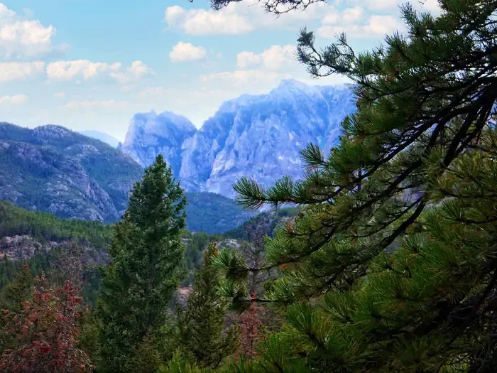 Woodbine CampgroundCampingPhoto: Recreation.gov (RIDB) / public domain5 mi
- Meyers Creek CabinCamping5.1 mi
- Arch RockSummit8.8 mi
Source: Roamze catalog (indexable pages within 10 miles, PostGIS distance)
- Woodbine CampgroundCamping · ~9 min drive
- Meyers Creek Rental CabinHut camping · ~9 min drive
- Ppin07aCamping · ~1 min drive
- Brd2846-011Camping · ~1 min drive
- Ppin057Camping · ~1 min drive
- Brd2846-010Camping · ~2 min drive
- Brd2846-009Camping · ~2 min drive
- Ppin06Camping · ~2 min drive
- Brd2846-008Camping · ~2 min drive
- Brd2846-007Camping · ~2 min drive
Best time to visit Brd2846-012
Best months: May–September. Best months have typical highs of 55–85 °F, lows of 30 °F or warmer (32 °F where the station doesn't record snow), at most one snowy day and no more than 12 wet days.
Jan
40° / 19°
5 wet · 4 snow
Feb
40° / 18°
5 wet · 4 snow
Mar
48° / 25°
7 wet · 5 snow
Apr
55° / 30°
9 wet · 3 snow
May
63° / 37°
12 wet · 1 snow
Jun
72° / 43°
12 wet
Jul
83° / 48°
10 wet
Aug
83° / 47°
8 wet
Sep
73° / 40°
7 wet
Oct
59° / 33°
7 wet · 2 snow
Nov
46° / 26°
6 wet · 3 snow
Dec
38° / 19°
5 wet · 4 snow
Typical high / low (°F) and days with rain or snow, 1991–2020. Measured at Nye #2, MT, 6.2 mi away at 4,840 ft. The station sits about 1,200 ft lower than this place, so expect it a little cooler here. Source: NOAA NCEI U.S. Climate Normals 1991–2020.
