Cr 7530
- Apr, Jun
- best months
Is Cr 7530 open right now?
Closure in the area
There's a closure order in Houston/Rolla/Cedar Creek Ranger District. It doesn't name Cr 7530, so check the source for the area it covers.
Forest Closure - Bridge Replacement at Paddy Creek
Agency closure covering Houston/Rolla/Cedar Creek Ranger District · Order 09-05-03-26-01 · USFS · Houston/Rolla/Cedar Creek Ranger District
Crane Lake Dam
Agency alert covering Mark Twain National Forest · USFS · Mark Twain National Forest
Delays on Forest Road 557
Agency alert covering Mark Twain National Forest · USFS · Mark Twain National Forest
Forest Order - Trail 119 Closure Extended (Chadwick Motorized Trail System)
Agency alert covering Mark Twain National Forest · USFS · Mark Twain National Forest
Weather Conditions
Agency alert covering Mark Twain National Forest · USFS · Mark Twain National Forest
As of · Source: USFS · Houston/Rolla/Cedar Creek Ranger District. Agencies don't list every closure — check before you go.
Cr 7530 is a boat launch in the Houston/Rolla/Cedar Creek Ranger District of Mark Twain National Forest in Missouri, about 1.7 miles from the town of Newburg. It serves as a put-in for boaters heading onto the water in this corner of the forest. For comfortable weather, aim for late spring or early fall. Typical averages from a nearby weather station in Rolla show May highs around 76°F and September highs around 80°F, while July climbs to about 89°F and January highs sit near 41°F. The Kaintuck Trail's Yellow and Orange routes lie about 3 miles away, and the Kaintuck Trail Orange Circles are about 4 miles off. Climbers can find the Classroom Area roughly 8 miles away.
- Kaintuck Trail YellowHiking3 mi
- Kaintuck Trail OrangeHiking3 mi
- Kaintuck Trail Orange CirclesHiking4 mi
 Classroom AreaRock climbingPhoto: RSherard, CC BY-SA 4.0 (via Wikimedia Commons)8.3 mi
- CM: Devils ElbowRock climbingPhoto: RSherard, CC BY-SA 4.0 (via Wikimedia Commons)8.3 mi
- Ampitheater AreaRock climbingPhoto: RSherard, CC BY-SA 4.0 (via Wikimedia Commons)8.3 mi
- Lane SpringCamping9.6 mi
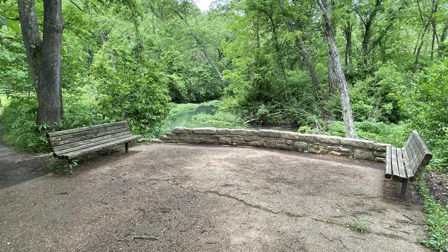 Lane Spring Recreation AreaRiver fishing9.7 mi
Source: Roamze catalog (indexable pages within 10 miles, PostGIS distance)
- Jerome AccessBoat launch · ~4 min drive
- Little Piney CreekCanoeing · ~29 min drive
- Milldam HollowBoat launch · ~7 min drive
- Atwell CreekCanoeing · ~30 min drive
- FS AccessBoat launch · ~8 min drive
- Little Tavern CreekCanoeing · ~32 min drive
- Hwy WBoat launch · ~12 min drive
- Maries RiverCanoeing · ~32 min drive
- Veterans BridgeBoat launch · ~14 min drive
- Dry ForkCanoeing · ~33 min drive
Best time to visit Cr 7530
Best months: April, June and September–November. Best months have typical highs of 55–85 °F, lows of 30 °F or warmer (32 °F where the station doesn't record snow), at most one snowy day and no more than 12 wet days.
Jan
41° / 22°
9 wet · 5 snow
Feb
46° / 26°
9 wet · 4 snow
Mar
56° / 35°
12 wet · 3 snow
Apr
67° / 45°
12 wet · 1 snow
May
76° / 56°
13 wet
Jun
84° / 65°
11 wet
Jul
89° / 69°
9 wet
Aug
88° / 67°
9 wet
Sep
80° / 59°
8 wet
Oct
69° / 47°
9 wet
Nov
56° / 36°
9 wet · 1 snow
Dec
45° / 27°
9 wet · 4 snow
Typical high / low (°F) and days with rain or snow, 1991–2020. Measured at Rolla Missouri S&T, MO, 9 mi away at 1,173 ft. Source: NOAA NCEI U.S. Climate Normals 1991–2020.
Map and trail data © OpenStreetMap contributors
