Wetland Trail
- 0.5 mi
- round trip
- 83 ft
- climb
- 997 ft
- high point
- Out and back
- route
- Mar–Jun, Sep–Nov
- best months
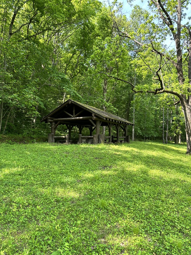
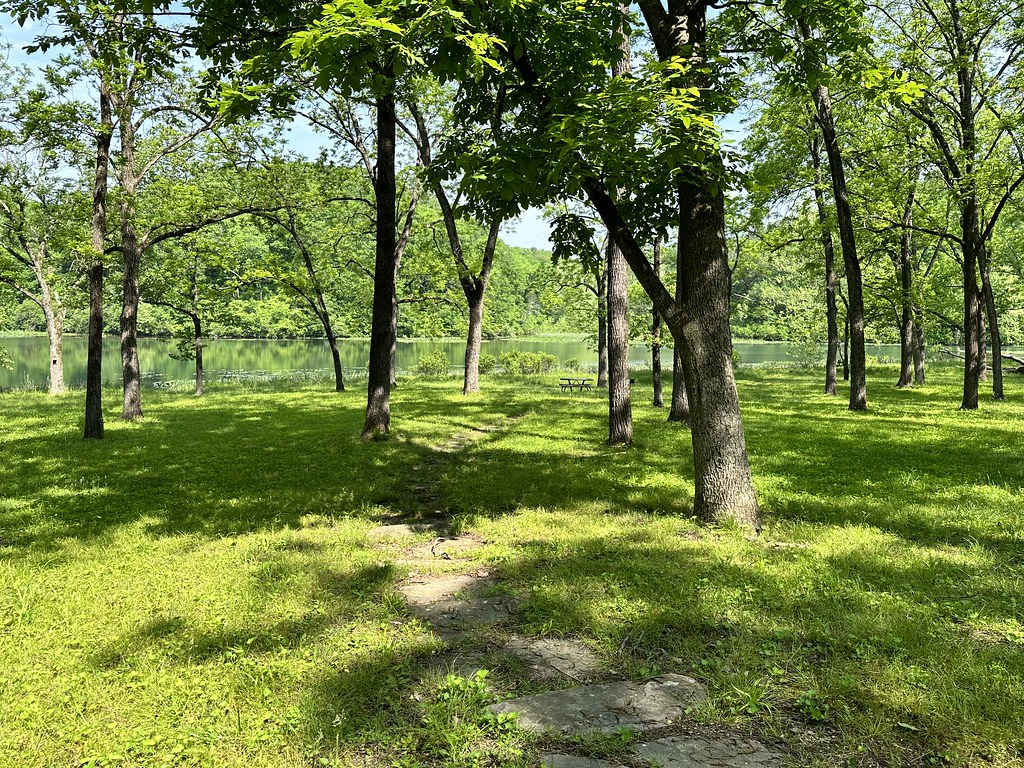
Wetland Trail is an easy, short hike in Missouri, about half a mile long with a total climb of about 80 feet. It is an out-and-back route that starts and ends at roughly 985 feet, with the highest point on the trail at 997 feet. The nearest town is China, about 1.4 miles away. Spring and fall are the most comfortable seasons to visit. Typical averages from a nearby weather station in W Plains run to highs around 68°F in April and 69°F in October, while July highs reach about 89°F and January lows drop to about 22°F. The station sits roughly 100 feet higher than the trail. The trip takes about half an hour. The trail is suitable only for walking. Bikes and horses are not allowed. Prairie Trail and Woodland Trail both lie about a tenth of a mile away. West Fork Spring Creek, a canoeing route, is about 3.5 miles off.
- Prairie TrailHiking0.1 mi
- Woodland TrailHiking0.1 mi
- West Fork Spring CreekCanoeing3.5 mi
- South Fork Spring RiverCanoeing7 mi
- Whipporwill TrailHiking9.2 mi
- Howell CreekCanoeing9.3 mi
Source: Roamze catalog (indexable pages within 10 miles, PostGIS distance)
 Natural Bridge TrailHiking · ~23 min drivePhoto: Kbh3rd, CC BY-SA 3.0 (via Wikimedia Commons)
 Ridge Runner-Noblett LoopHiking · ~40 min drivePhoto: SlapTheWorld, Public Domain Dedication (CC0) (via Flickr)
- Woodland TrailHiking · Next door
- Ozarks Keystone TrailHiking · ~49 min drive
- Interpretive Loop TrailHiking · ~23 min drivePhoto: Kbh3rd, CC BY-SA 3.0 (via Wikimedia Commons)
 Ridge Runner-Short LoopHiking · ~40 min drivePhoto: SlapTheWorld, Public Domain Dedication (CC0) (via Flickr)
- Devils Backbone-Mary HollowHiking · ~29 min drive
- Ozark Trail - 11-Pt RiverHiking · ~1h 2m drive
- Noblett ConnecterHiking · ~41 min drivePhoto: SlapTheWorld, Public Domain Dedication (CC0) (via Flickr)
- Ozark Trail-North Fork RiverHiking · ~31 min drive
Best time to visit Wetland Trail
Best months: March–June and September–November. Best months have typical highs of 55–85 °F, lows of 30 °F or warmer (32 °F where the station doesn't record snow), at most one snowy day and no more than 12 wet days.
Jan
44° / 22°
8 wet · 1 snow
Feb
49° / 26°
8 wet · 1 snow
Mar
58° / 33°
10 wet
Apr
68° / 43°
10 wet
May
75° / 52°
11 wet
Jun
84° / 61°
9 wet
Jul
89° / 66°
8 wet
Aug
87° / 64°
8 wet
Sep
80° / 56°
7 wet
Oct
69° / 44°
8 wet
Nov
57° / 34°
8 wet
Dec
46° / 26°
8 wet
Typical high / low (°F) and days with rain or snow, 1991–2020. Measured at W Plains, MO, 7.9 mi away at 1,105 ft. Source: NOAA NCEI U.S. Climate Normals 1991–2020.
