Ozarks Keystone Trail
- 31.6 mi
- one way
- 2,727 ft
- climb
- 812 ft
- high point
- Point to point
- route
- Mar–Jun, Sep–Nov
- best months
Caution at last check
Weather is marginal · OpenWeather · checked 23 h ago
The Ozarks Keystone Trail is a 31.6-mile point-to-point hike in Arkansas's Norfork Recreation Area, managed by the Army Corps of Engineers. It is an expert-level route with a total elevation gain of 2,727 feet, and the climb is steady rather than a single steep stretch. The trail's high point reaches 812 feet, and the steepest section comes at about 14.2 miles in, with a grade of 9 percent. Spring and fall are the most comfortable times to go. Typical averages from a nearby weather station show October highs around 71°F with lows near 48°F, and May highs around 77°F. Summer runs hotter, with July and August highs near 89°F. The trail is not wheelchair accessible, and neither bikes nor horses are allowed. Plan for about 12 hours on foot. Campgrounds sit within a few miles, including Robinson Point, Bidwell Point Park and Henderson Park. The North Fork River, about 8.8 miles away, offers river fishing.
Best time to go · Mar–Jun, Sep–Nov
Best time to visit Ozarks Keystone Trail
Best months: March–June and September–November. Best months have typical highs of 55–85 °F, lows of 30 °F or warmer (32 °F where the station doesn't record snow), at most one snowy day and no more than 12 wet days.
Jan
46° / 26°
8 wet · 1 snow
Feb
51° / 29°
8 wet · 1 snow
Mar
60° / 37°
10 wet · 1 snow
Apr
70° / 46°
11 wet
May
77° / 56°
11 wet
Jun
85° / 65°
10 wet
Jul
89° / 69°
9 wet
Aug
89° / 68°
9 wet
Sep
82° / 60°
8 wet
Oct
71° / 48°
9 wet
Nov
59° / 37°
9 wet
Dec
48° / 29°
9 wet · 1 snow
Typical high / low (°F) and days with rain or snow, 1991–2020. Measured at Mtn Home 1 Nnw, AR, 6.3 mi away at 800 ft. Source: NOAA NCEI U.S. Climate Normals 1991–2020.
Keep exploring — more trails worth the drive
 Photo: My Blue Van, CC BY-SA 2.0 (via Flickr)
Sprout Spring Nature Trail
~40 min drive
1.28-mile out-and-back trail in Missouri with 343 ft elevation gain
HIKE
Cow Creek Trail
~31 min drive
19.14-mile out-and-back trail in Arkansas with 1,196 ft of elevation gain.
HIKE
North Lower Wilderness Trails
~33 min drive
35.26-mile out-and-back trail in Arkansas with 2,747 ft elevation gain.
HIKE
Devils Backbone-Mary Hollow
~48 min drive
4.15-mile loop trail in Missouri with 309 ft elevation gain.
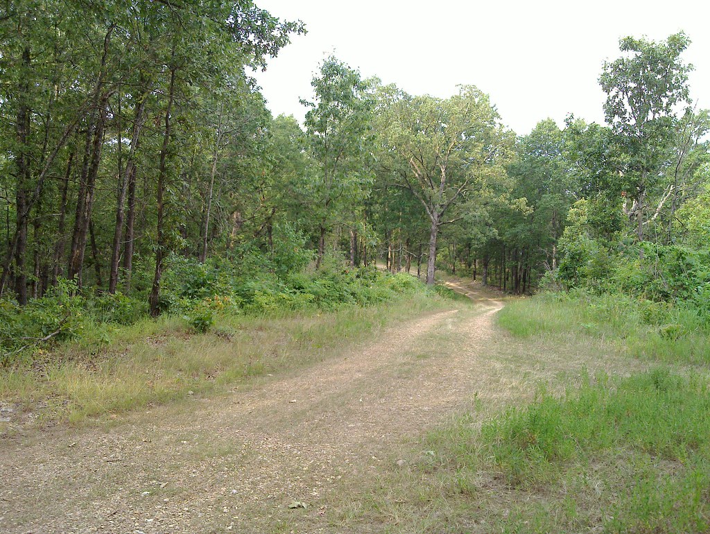 Photo: My Blue Van, CC BY-SA 2.0 (via Flickr)
Nature Trail
~42 min drive
1.07-mile out-and-back trail in Missouri with 234 ft gain.
HIKE
South Lower Wilderness Trails
~38 min drive
19.16-mile out-and-back trail in Arkansas with 1,555 ft elevation gain.
HIKE
Devils Backbone-Raccoon Hollow
~48 min drive
6.54-mile out-and-back trail in Missouri with 458 ft elevation gain.
 Photo: Farther Along, CC BY 2.0 (via Flickr)
Return Trail
~43 min drive
1.27-mile out-and-back hike in Arkansas with 759 ft gain.
HIKE
Oht Sylamore Section
~40 min drive
66.11-mile point-to-point trail in Arkansas with 3,461 ft gain
HIKE
Syllamo Bike Trail - Jacks Bra
~48 min drive
2.33-mile out-and-back bike trail in Arkansas with 626 ft gain.
Map and trail data © OpenStreetMap contributors
