River Hiking Trail North
- 1.7 mi
- round trip
- 534 ft
- climb
- 581 ft
- high point
- Out and back
- route
- Mar–Jun, Sep–Nov
- best months
River Hiking Trail North is a short, easy out-and-back hike on land managed by the U.S. Fish and Wildlife Service in Missouri, about 1.6 miles from the town of McBaine. The trail is 3.4 miles long in total, with the high point at about 581 feet and the low at about 575 feet. The route is nearly flat, with the steepest stretch at about 0.65 miles in, where the grade reaches about 3%. Spring and fall are the most comfortable times to go. Typical averages from a nearby weather station in Columbia show October highs around 68°F with lows near 47°F, and May highs around 76°F. July is the warmest month, with typical highs near 89°F. Bikes and horses are not allowed on this trail. Climbers will find the Battress Area and North Area about 4 miles away, and the Katy Cliff and Spire Area climbing areas are a little farther.
- Battress AreaRock climbing3.9 mi
- North AreaRock climbing4 mi
- Spire AreaRock climbing4.3 mi
- Katy CliffRock climbing4.5 mi
- CM: AndromedaRock climbing4.5 mi
- Andromeda ButtressRock climbing4.6 mi
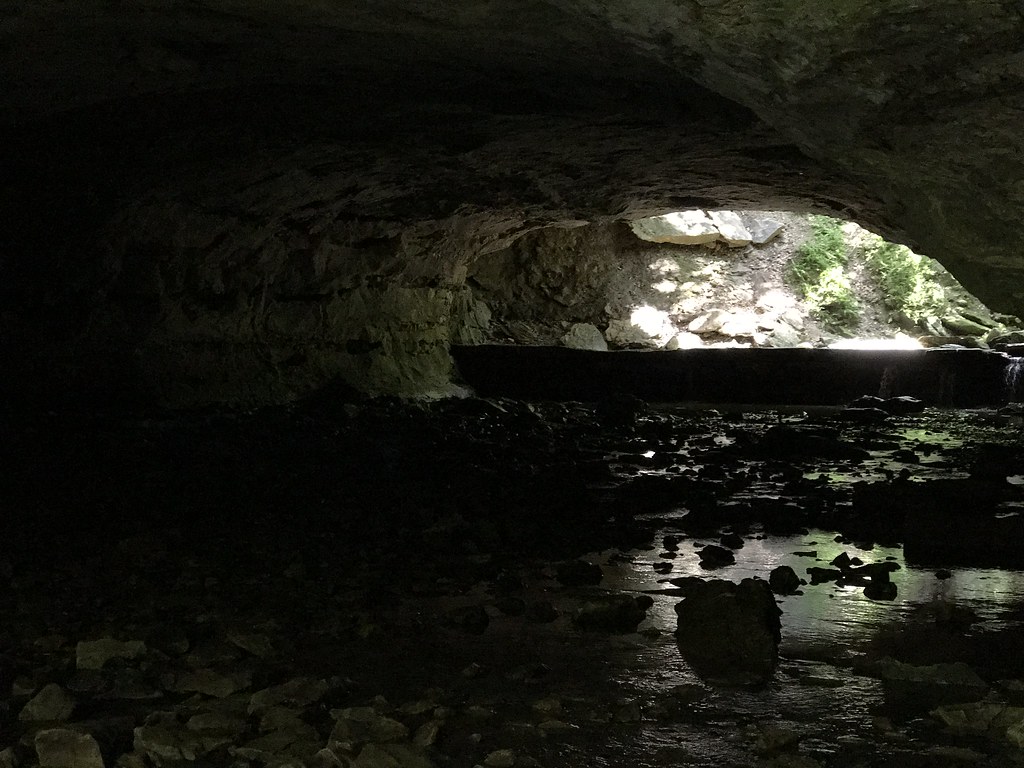 Deer Run TrailHikingPhoto: Charkrem, CC BY 2.0 (via Flickr)7.5 mi
- Tall Grass Prairie TrailHiking9.3 mi
Source: Roamze catalog (indexable pages within 10 miles, PostGIS distance)
- Deer Run TrailHiking · ~13 min drivePhoto: Charkrem, CC BY 2.0 (via Flickr)
- Cedar Creek Trail - the MoonHiking · ~27 min drive
- Moniteau TrailHiking · ~44 min drive
- Moreau Creek TrailHiking · ~48 min drive
 Kelley Branch Mountain Bike TrailHiking · ~29 min drivePhoto: Tony Webster, CC BY-SA 2.0 (via Flickr)
- Cedar Creek Trail - Smith CreeHiking · ~32 min drive
- Cedar Creek - SouthHiking · ~30 min drive
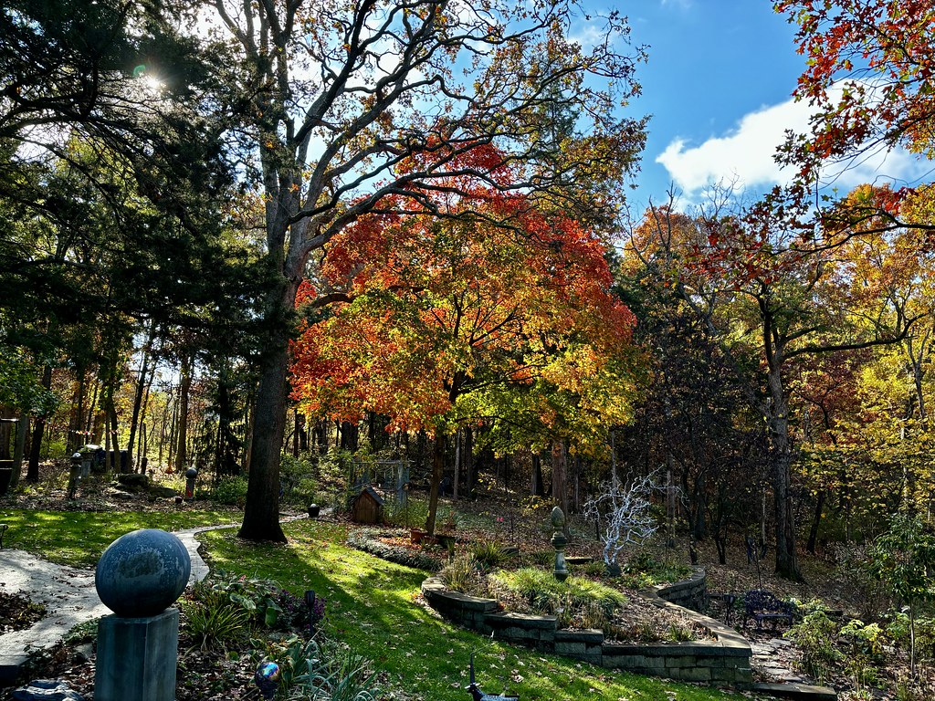 Paved TrailHiking · ~40 min drivePhoto: smays, CC BY 2.0 (via Flickr)
- Gravel TrailHiking · ~40 min drivePhoto: smays, CC BY 2.0 (via Flickr)
 Bluestem RidgeHiking · ~41 min drivePhoto: smays, CC BY 2.0 (via Flickr)
Best time to visit River Hiking Trail North
Best months: March–June and September–November. Best months have typical highs of 55–85 °F, lows of 30 °F or warmer (32 °F where the station doesn't record snow), at most one snowy day and no more than 12 wet days.
Jan
39° / 23°
8 wet · 3 snow
Feb
45° / 26°
8 wet · 3 snow
Mar
56° / 36°
11 wet · 1 snow
Apr
67° / 46°
11 wet
May
76° / 56°
12 wet
Jun
85° / 65°
11 wet
Jul
89° / 69°
8 wet
Aug
88° / 67°
9 wet
Sep
80° / 59°
8 wet
Oct
68° / 47°
9 wet
Nov
55° / 37°
8 wet · 1 snow
Dec
44° / 27°
8 wet · 2 snow
Typical high / low (°F) and days with rain or snow, 1991–2020. Measured at Columbia U Of M, MO, 9.4 mi away at 770 ft. Source: NOAA NCEI U.S. Climate Normals 1991–2020.
