Pinewoods Trail
- 0.6 mi
- loop
- 13 ft
- climb
- 1,058 ft
- high point
- Loop
- route
- Mar–Jun, Sep–Nov
- best months
Clear today
Weather is good · OpenWeather · checked 8 h ago
Pinewoods Trail is a short, easy loop in southern Missouri, about 2.4 miles from the town of Bertha. The trail is 0.63 miles long and rises only 13 feet from its lowest point at 1,021 feet to a high of 1,058 feet, making it a gentle walk that can be done in about half an hour. The route is a loop, and the climb is minimal. The steepest stretch comes at about 0.24 miles in, with a grade of 6 percent. Bikes and horses are not allowed on the trail. Spring and fall are the most comfortable times to go. Typical averages from a nearby weather station in Gentryville show October highs around 70°F with lows near 45°F, and May highs around 77°F. Pike Hollow Trail is the closest neighbor, about 0.8 miles away. Fox Creek, a canoeing spot, is about 8.7 miles off, and the Nature Trail and Sprout Spring Nature Trail are both within about 9 miles.
- Pike Hollow TrailHiking0.8 mi
 Fox CreekCanoeingPhoto: Vsmith, CC BY-SA 4.0 (via Wikimedia Commons)8.7 mi
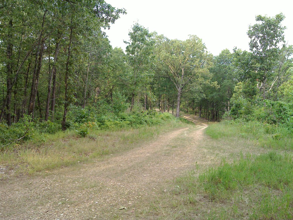 Nature TrailHikingPhoto: My Blue Van, CC BY-SA 2.0 (via Flickr)9.1 mi
 Sprout Spring Nature TrailHikingPhoto: My Blue Van, CC BY-SA 2.0 (via Flickr)9.4 mi
Source: Roamze catalog (indexable pages within 10 miles, PostGIS distance)
- Nature TrailHiking · ~16 min drivePhoto: My Blue Van, CC BY-SA 2.0 (via Flickr)
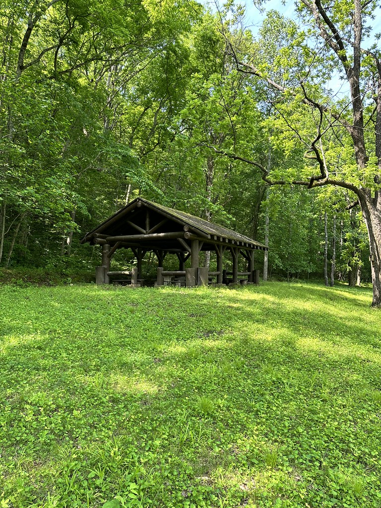 Ridge Runner-Noblett LoopHiking · ~32 min drivePhoto: SlapTheWorld, Public Domain Dedication (CC0) (via Flickr)
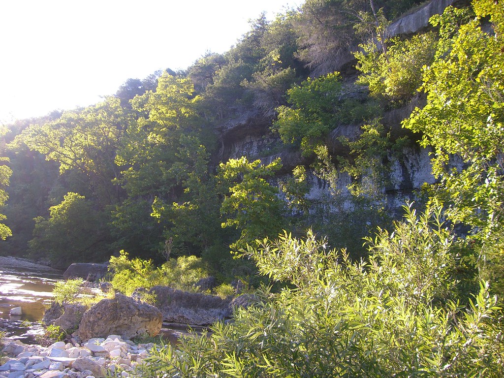 Hercules Glades-Coy BaldHiking · ~51 min drivePhoto: My Blue Van, CC BY-SA 2.0 (via Flickr)
- Ridge Runner-Nf to NoblettHiking · ~34 min drive
- Sprout Spring Nature TrailHiking · ~16 min drivePhoto: My Blue Van, CC BY-SA 2.0 (via Flickr)
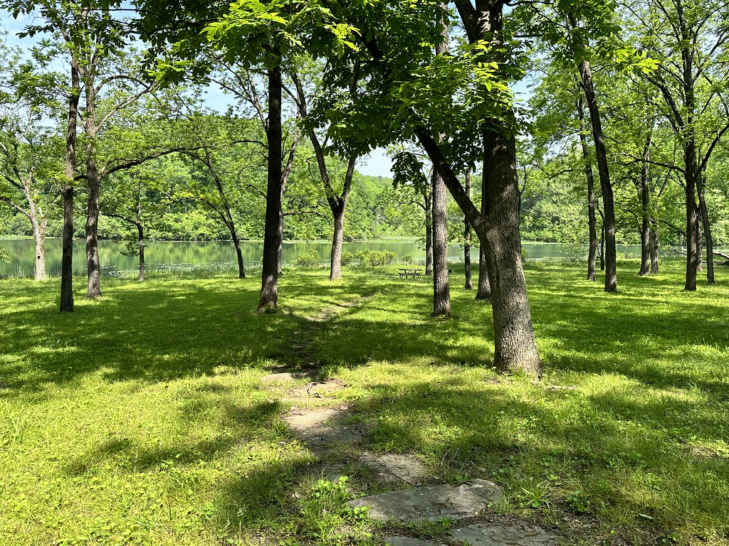 Ridge Runner-Short LoopHiking · ~33 min drivePhoto: SlapTheWorld, Public Domain Dedication (CC0) (via Flickr)
- Pike Hollow TrailHiking · ~1 min drive
 Noblett LakeHiking · ~32 min drivePhoto: SlapTheWorld, Public Domain Dedication (CC0) (via Flickr)
- Ozark Trail-North Fork RiverHiking · ~47 min drive
- Devils Backbone-Raccoon HollowHiking · ~25 min drive
Best time to visit Pinewoods Trail
Best months: March–June and September–November. Best months have typical highs of 55–85 °F, lows of 30 °F or warmer (32 °F where the station doesn't record snow), at most one snowy day and no more than 12 wet days.
Jan
45° / 23°
Feb
49° / 26°
Mar
59° / 34°
Apr
69° / 44°
May
77° / 53°
Jun
84° / 62°
Jul
89° / 66°
Aug
89° / 65°
Sep
81° / 56°
Oct
70° / 45°
Nov
57° / 35°
Dec
46° / 26°
Typical high / low (°F) and days with rain or snow, 1991–2020. Measured at Gentryville, MO, 4.5 mi away at 1,100 ft. This station doesn't record snowfall. Source: NOAA NCEI U.S. Climate Normals 1991–2020.
