Fox Run Trail
- 3.6 mi
- round trip
- 1,231 ft
- climb
- 846 ft
- high point
- Out and back
- route
- Mar–Apr, Sep–Nov
- best months
Fox Run Trail is a 3.6-mile moderate hike in Missouri, about 1.5 miles from the community of Camp Wyman. The trail is an out-and-back with a steady climb, reaching a high point of 846 feet and totaling about 1,200 feet of elevation gain over the round trip. The route starts at roughly 798 feet and ends at the same level, with the steepest stretch coming within the first 0.05 miles at a grade of about 22%. Spring and fall are the most comfortable times to go. Typical averages from a nearby weather station show October highs around 69°F with lows near 45°F, and April highs around 68°F. That station sits about 380 feet lower than the trail's high point, so temperatures on the higher ground run cooler. The trail is open to both horses and bikes. The Round House Loop Trail lies just 0.3 miles away, and the Fox Creek Spur and Greenrock Trail are each about 1.2 miles off. Climbers can find EM: Rockwoods Reservation about 3.6 miles away.
Local outfitters
- Edwardsville YMCA45 mi away
Not on Roamze yet. Their page has how to reach them.
- Round House Loop TrailHiking0.3 mi
 Fox Creek SpurHikingPhoto: Fredlyfish4, CC BY-SA 4.0 (via Wikimedia Commons)1.2 mi
- Greenrock TrailHikingPhoto: Fredlyfish4, CC BY-SA 4.0 (via Wikimedia Commons)1.2 mi
 EM: Rockwoods ReservationRock climbingPhoto: Fredlyfish4, CC BY-SA 3.0 (via Wikimedia Commons)3.6 mi
- Colony wallRock climbing3.8 mi
- EM: Al Foster BoulderRock climbing4.3 mi
 Bonhomme CreekCanoeingPhoto: Palisades1, CC BY-SA 4.0 (via Wikimedia Commons)8.6 mi
- Meramec RiverRiver fishing9.9 mi
Source: Roamze catalog (indexable pages within 10 miles, PostGIS distance)
- Fox Creek SpurHiking · ~2 min drivePhoto: Fredlyfish4, CC BY-SA 4.0 (via Wikimedia Commons)
- Green Rock TrailHiking · ~6 min drivePhoto: Fredlyfish4, CC BY-SA 3.0 (via Wikimedia Commons)
- Lost Valley TrailHiking · ~17 min drive
- Greenrock TrailHiking · ~2 min drivePhoto: Fredlyfish4, CC BY-SA 4.0 (via Wikimedia Commons)
- Rock Quarry TrailHiking · ~6 min drivePhoto: Fredlyfish4, CC BY-SA 3.0 (via Wikimedia Commons)
 Outer Loop TrailHiking · ~8 min drivePhoto: Photographs of Things, CC BY-SA 2.0 (via Flickr)
 Labarque Hills TrailHiking · ~11 min drivePhoto: Fredlyfish4, CC BY-SA 3.0 (via Wikimedia Commons)
- Taconic Loop TrailHiking · ~9 min drivePhoto: Fredlyfish4, CC BY-SA 3.0 (via Wikimedia Commons)
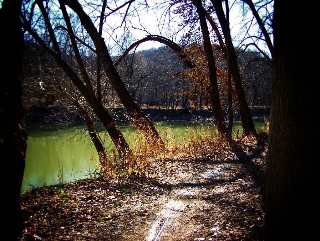 Stinging Nettle TrailHiking · ~12 min drivePhoto: monamaynard, CC BY 2.0 (via Flickr)
- Inner Loop TrailHiking · ~10 min drivePhoto: Photographs of Things, CC BY-SA 2.0 (via Flickr)
Best time to visit Fox Run Trail
Best months: March–April and September–November. Best months have typical highs of 55–85 °F, lows of 30 °F or warmer (32 °F where the station doesn't record snow), at most one snowy day and no more than 12 wet days.
Jan
41° / 22°
8 wet
Feb
47° / 26°
8 wet
Mar
57° / 34°
11 wet
Apr
68° / 44°
12 wet
May
77° / 55°
13 wet
Jun
86° / 64°
11 wet
Jul
89° / 68°
9 wet
Aug
88° / 66°
9 wet
Sep
81° / 56°
9 wet
Oct
69° / 45°
10 wet
Nov
56° / 34°
9 wet
Dec
45° / 26°
9 wet
Typical high / low (°F) and days with rain or snow, 1991–2020. Measured at St Louis Sprt Of S L Ap, MO, 9.6 mi away at 462 ft. This station doesn't record snowfall. Source: NOAA NCEI U.S. Climate Normals 1991–2020.
