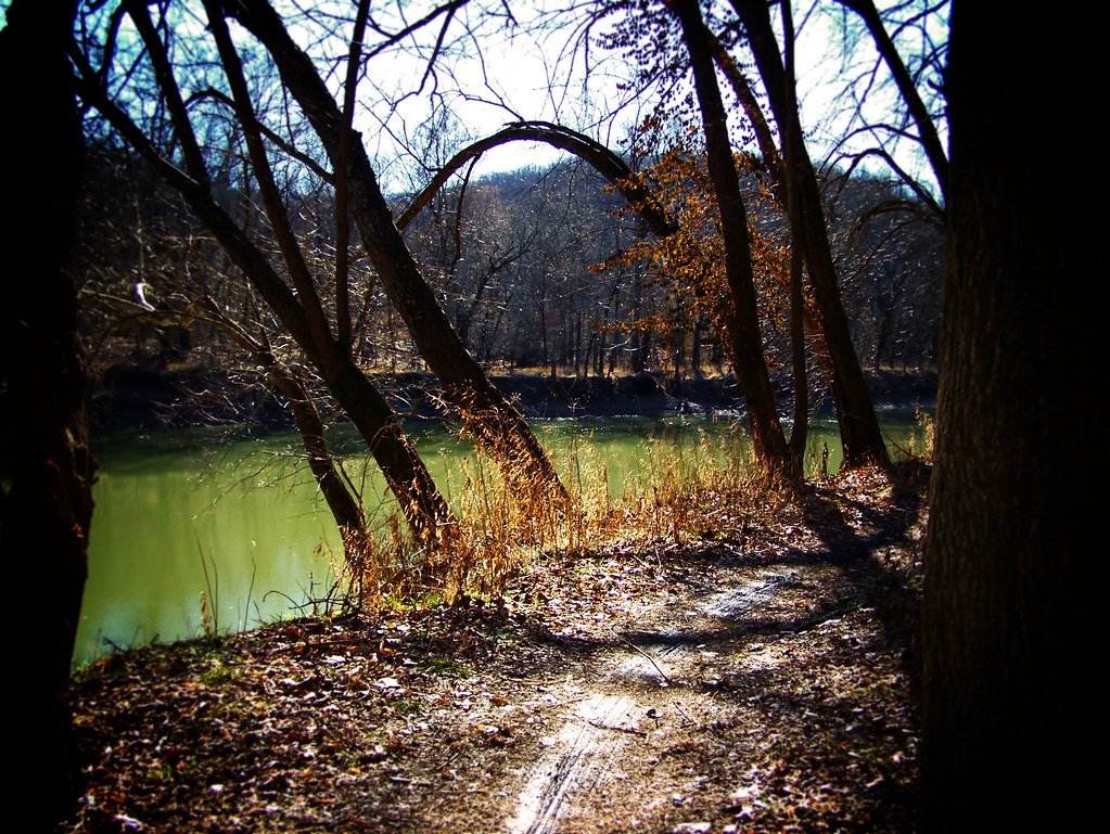
Rock Quarry Trail
 Photo: Fredlyfish4, CC BY-SA 3.0 (via Wikimedia Commons)
- 2.2 mi
- round trip
- 1,050 ft
- climb
- 800 ft
- high point
- Out and back
- route
- Mar–Apr, Sep–Nov
- best months
Rock Quarry Trail is a 2.2-mile moderate hike in Missouri, about 1.2 miles from the community of Fox Creek. The trail is an out-and-back that climbs from a low of about 560 feet to a high of 800 feet, with the steepest stretch at the start, where the grade reaches about 12 percent. The total elevation gain is 380 feet, and the round-trip distance is about 4.4 miles. Spring and fall are the most comfortable times to go. Typical averages from a nearby weather station in St. Louis show October highs around 69°F with lows near 45°F, and April highs around 68°F. That station sits about 340 feet lower than the trail's high point, so temperatures on the summit run a little cooler. The trail is close to several other outings. Green Rock Trail and Trail Among the Trees both start within a quarter mile, and EM: Rockwoods Reservation, a climbing area, is about 0.3 miles away. Lime Kiln Loop is roughly a mile off.
Local outfitters
- Edwardsville YMCA43 mi away
Not on Roamze yet. Their page has how to reach them.
- Green Rock TrailHikingPhoto: Fredlyfish4, CC BY-SA 3.0 (via Wikimedia Commons)0.1 mi
- Trail Among the TreesHiking0.2 mi
- EM: Rockwoods ReservationRock climbingPhoto: Fredlyfish4, CC BY-SA 3.0 (via Wikimedia Commons)0.3 mi
- Lime Kiln LoopHiking1 mi
- Colony wallRock climbing1.1 mi
- EM: Al Foster BoulderRock climbing3 mi
 Bonhomme CreekCanoeingPhoto: Palisades1, CC BY-SA 4.0 (via Wikimedia Commons)5.3 mi
- Meramec RiverRiver fishing8.4 mi
Source: Roamze catalog (indexable pages within 10 miles, PostGIS distance)
- Green Rock TrailHiking · Next doorPhoto: Fredlyfish4, CC BY-SA 3.0 (via Wikimedia Commons)
 Fox Creek SpurHiking · ~8 min drivePhoto: Fredlyfish4, CC BY-SA 4.0 (via Wikimedia Commons)
- Lost Valley TrailHiking · ~14 min drive
 Stinging Nettle TrailHiking · ~10 min drivePhoto: monamaynard, CC BY 2.0 (via Flickr)
- Greenrock TrailHiking · ~8 min drivePhoto: Fredlyfish4, CC BY-SA 4.0 (via Wikimedia Commons)
 Grotpeter TrailHiking · ~12 min drivePhoto: Kbh3rd, CC BY-SA 3.0 (via Wikimedia Commons)
 Outer Loop TrailHiking · ~9 min drivePhoto: Photographs of Things, CC BY-SA 2.0 (via Flickr)
 Labarque Hills TrailHiking · ~15 min drivePhoto: Fredlyfish4, CC BY-SA 3.0 (via Wikimedia Commons)
- Inner Loop TrailHiking · ~10 min drivePhoto: Photographs of Things, CC BY-SA 2.0 (via Flickr)
- Turkey Ridge TrailHiking · ~3 min drive
Best time to visit Rock Quarry Trail
Best months: March–April and September–November. Best months have typical highs of 55–85 °F, lows of 30 °F or warmer (32 °F where the station doesn't record snow), at most one snowy day and no more than 12 wet days.
Jan
41° / 22°
8 wet
Feb
47° / 26°
8 wet
Mar
57° / 34°
11 wet
Apr
68° / 44°
12 wet
May
77° / 55°
13 wet
Jun
86° / 64°
11 wet
Jul
89° / 68°
9 wet
Aug
88° / 66°
9 wet
Sep
81° / 56°
9 wet
Oct
69° / 45°
10 wet
Nov
56° / 34°
9 wet
Dec
45° / 26°
9 wet
Typical high / low (°F) and days with rain or snow, 1991–2020. Measured at St Louis Sprt Of S L Ap, MO, 6.4 mi away at 462 ft. This station doesn't record snowfall. Source: NOAA NCEI U.S. Climate Normals 1991–2020.
