Cedar Glade Trail
- 0.8 mi
- loop
- 41 ft
- climb
- 789 ft
- high point
- Loop
- route
- Mar–Jun, Sep–Nov
- best months
Is Cedar Glade Trail open right now?
Alert in the area
The Forest Service lists 10 alerts for Mark Twain National Forest.
Crane Lake Dam
Agency alert covering Mark Twain National Forest · USFS · Mark Twain National Forest
Delays on Forest Road 557
Agency alert covering Mark Twain National Forest · USFS · Mark Twain National Forest
Forest Order - Trail 119 Closure Extended (Chadwick Motorized Trail System)
Agency alert covering Mark Twain National Forest · USFS · Mark Twain National Forest
Weather Conditions
Agency alert covering Mark Twain National Forest · USFS · Mark Twain National Forest
Red Bridge Road - Bridge Closure
Agency alert covering Mark Twain National Forest · USFS · Mark Twain National Forest
As of · Source: USFS · Mark Twain National Forest. Agencies don't list every closure — check before you go.
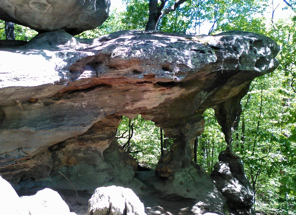
Cedar Glade Trail is a short loop in Missouri's Mark Twain National Forest, within the Potosi / Fredericktown Ranger District. The trail is 0.8 miles long, with an elevation gain of 41 feet, and is rated easy. The climb is gentle, with the highest point on the loop at 789 feet and the lowest at 738 feet. The steepest stretch, a 7% grade, comes about 0.07 miles in, and the trail starts at 748 feet. Spring and fall are the most comfortable times to go. Typical averages from the nearby Fredericktown weather station show October highs around 69°F and May highs around 76°F, while July highs reach about 88°F. Climbers have several areas close by. Warm Up Wall and EM: Amidon are each about 0.1 mile away, and Generator Boulder is about 0.3 mile off. Paddlers can find the Upper Castor River about 2 miles away.
- Warm Up WallRock climbing0.1 mi
- EM: AmidonRock climbing0.1 mi
- River rightRock climbing0.2 mi
- Generator BoulderRock climbing0.3 mi
- River leftRock climbing0.3 mi
- Upper Castor RiverCanoeing2.2 mi
- EM: The Off-SetsRock climbing7.9 mi
Source: Roamze catalog (indexable pages within 10 miles, PostGIS distance)
 Trail Through TimeHiking · ~31 min drivePhoto: SymphonicPoet, CC BY 2.0 (via Flickr)
 Pilot Knob Guided Hike RouteHiking · ~45 min drivePhoto: Missouri State Archives, No restrictions (via Wikimedia Commons)
 River to River Segment 7 - Alto Pass to Devil's BackboneHiking · ~1h 1m drivePhoto: USDAgov, Public Domain Dedication (CC0) (via Flickr)
- Yellow TrailHiking · ~44 min drive
 Braille TrailHiking · ~51 min drivePhoto: Wikipedian Kbh3rd, CC BY-SA 3.0 (via Wikimedia Commons)
- Rock Pile Mountain WildernessHiking · ~27 min drive
- Adt - Illinois (South) - J - Seg 3Hiking · ~1h 1m drivePhoto: USDAgov, Public Domain Dedication (CC0) (via Flickr)
- Green TrailHiking · ~46 min drive
- Silver Mines West TrailHiking · ~27 min drive
- Galena TrailHiking · ~42 min drive
Best time to visit Cedar Glade Trail
Best months: March–June and September–November. Best months have typical highs of 55–85 °F, lows of 30 °F or warmer (32 °F where the station doesn't record snow), at most one snowy day and no more than 12 wet days.
Jan
42° / 21°
8 wet · 1 snow
Feb
47° / 24°
8 wet · 2 snow
Mar
57° / 32°
9 wet · 1 snow
Apr
68° / 42°
10 wet
May
76° / 52°
11 wet
Jun
84° / 60°
8 wet
Jul
88° / 65°
8 wet
Aug
87° / 62°
8 wet
Sep
80° / 54°
7 wet
Oct
69° / 42°
8 wet
Nov
56° / 32°
8 wet
Dec
45° / 24°
9 wet · 1 snow
Typical high / low (°F) and days with rain or snow, 1991–2020. Measured at Fredericktown, MO, 8.5 mi away at 760 ft. Source: NOAA NCEI U.S. Climate Normals 1991–2020.
