Warrior Creek
- 6.1 mi
- distance
- 419 ft
- high point
- Oct–May
- best months
Warrior Creek is a 6-mile paddling stretch in Mississippi, about a mile from Dennis Settlement and near the town of Lake. The creek is intermittent and may run dry in some seasons. USGS models an average flow of about 33 cubic feet per second, and the gradient averages about 3.9 feet per mile. Spring and fall are the most comfortable times to paddle. Typical April highs reach about 76°F and October highs about 78°F, based on averages from the nearby weather station at Forest, while July and August highs typically climb to about 91°F. Other paddling routes lie close by: Hontokalo Creek is about 3.4 miles away, Tuscolameta Creek about 3.6 miles, and the Tallabogue about 9.7 miles.
Source: Roamze catalog (indexable pages within 10 miles, PostGIS distance)
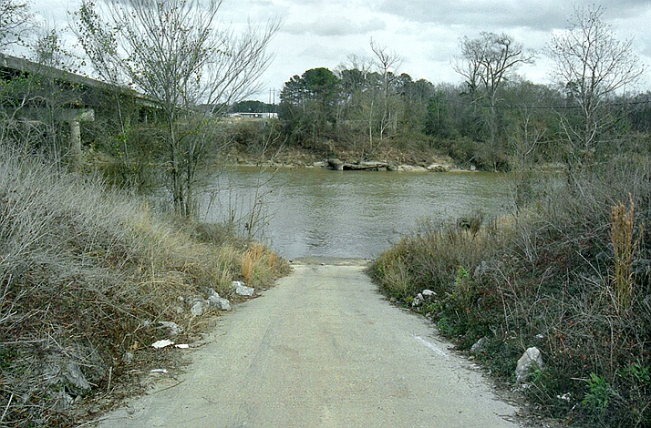 Leaf RiverCanoeing · ~25 min drivePhoto: The original uploader was Malepheasant at English Wikipedia., CC BY-SA 2.5 (via Wikimedia Commons)
- Hontokalo CreekCanoeing · ~6 min drive
- Tuscolameta CreekCanoeing · ~6 min drive
- Potterchitto CreekCanoeing · ~18 min drive
- Conehatta CreekCanoeing · ~18 min drive
- TallabogueCanoeing · ~19 min drive
- Tarlow CreekCanoeing · ~21 min drive
- Turkey CreekCanoeing · ~22 min drive
- Shockaloo CreekCanoeing · ~23 min drive
- Tom BranchCanoeing · ~25 min drive
Best time to visit Warrior Creek
Best months: October–May. Best months have typical highs of 55–85 °F, lows of 30 °F or warmer (32 °F where the station doesn't record snow), at most one snowy day and no more than 12 wet days.
Jan
58° / 34°
Feb
62° / 37°
Mar
69° / 43°
Apr
76° / 50°
May
83° / 58°
Jun
89° / 65°
Jul
91° / 68°
Aug
91° / 67°
Sep
87° / 62°
Oct
78° / 51°
Nov
67° / 40°
Dec
59° / 36°
Typical high / low (°F) and days with rain or snow, 1991–2020. Measured at Forest, MS, 5.1 mi away at 450 ft. This station doesn't record snowfall. Source: NOAA NCEI U.S. Climate Normals 1991–2020.

