Bouie River
- 35.4 mi
- distance
- 473 ft
- high point
- Oct–Apr
- best months
Bouie River is a canoeing route in Mississippi, about 1.2 miles from the town of Lone Star. It is a paddling destination rather than a trail, and its location close to town makes it an easy stop for anyone already in the area. Spring and fall are the most comfortable times to paddle. Typical averages from a nearby weather station in Collins show April highs around 80°F and October highs around 81°F, with fewer wet days in October than in summer, when July and August average highs near 94°F. For more paddling, Terrible Creek lies about 7 miles away.
Source: Roamze catalog (indexable pages within 10 miles, PostGIS distance)
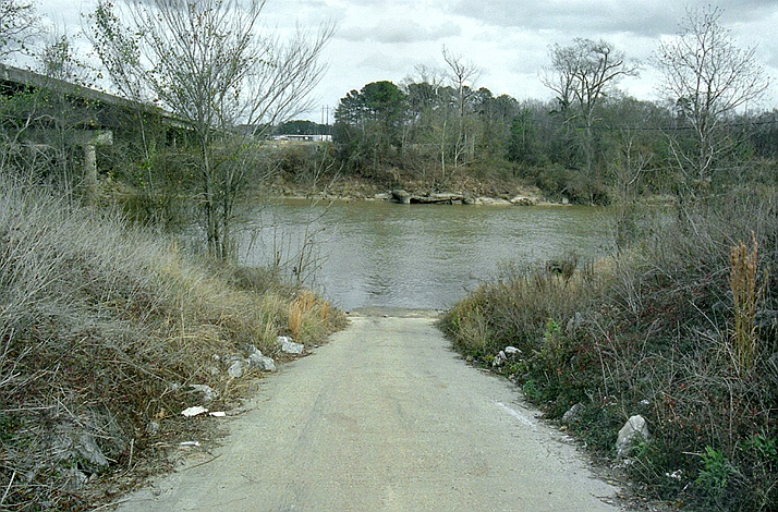 Leaf RiverCanoeing · ~1h 9m drivePhoto: The original uploader was Malepheasant at English Wikipedia., CC BY-SA 2.5 (via Wikimedia Commons)
- 588 Boat RampBoat launch · ~41 min drive
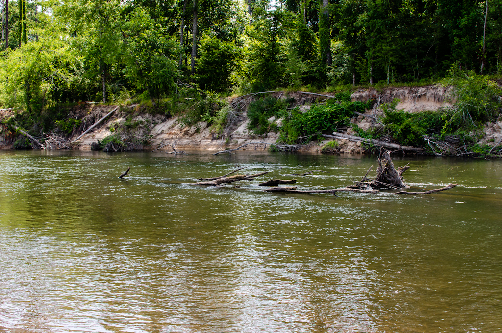 Bogue ChittoCanoeing · ~1h 15m drivePhoto: mcandrus, CC BY 2.0 (via Wikimedia Commons)
- Terrible CreekCanoeing · ~12 min drive
- White Sand CreekCanoeing · ~17 min drive
- Okatoma CreekCanoeing · ~23 min drive
- Silver CreekCanoeing · ~27 min drive
- Holiday CreekCanoeing · ~31 min drive
- Fisher CreekCanoeing · ~39 min drive
- Big CreekCanoeing · ~44 min drive
Best time to visit Bouie River
Best months: October–April. Best months have typical highs of 55–85 °F, lows of 30 °F or warmer (32 °F where the station doesn't record snow), at most one snowy day and no more than 12 wet days.
Jan
62° / 34°
8 wet
Feb
66° / 38°
8 wet
Mar
73° / 44°
8 wet
Apr
80° / 52°
7 wet
May
86° / 61°
7 wet
Jun
92° / 68°
8 wet
Jul
94° / 70°
10 wet
Aug
94° / 70°
9 wet
Sep
89° / 65°
6 wet
Oct
81° / 53°
5 wet
Nov
71° / 43°
6 wet
Dec
64° / 37°
8 wet
Typical high / low (°F) and days with rain or snow, 1991–2020. Measured at Collins, MS, 10.4 mi away at 290 ft. Source: NOAA NCEI U.S. Climate Normals 1991–2020.
