Norpine- Massie Loop
- 8.3 mi
- loop
- 334 ft
- climb
- 1,020 ft
- high point
- Loop
- route
- May–Sep
- best months
Is Norpine- Massie Loop open right now?
Closure in the area
There's a closure order in Superior National Forest. It doesn't name Norpine- Massie Loop, so check the source for the area it covers.
Post Wildfire Closures, Effective October 1, 2026
Agency closure covering Superior National Forest · Order 09-09-00-26-11 · USFS · Superior National Forest
Forest Road Improvement Projects
Agency alert covering Superior National Forest · USFS · Superior National Forest
As of · Source: USFS · Superior National Forest. Agencies don't list every closure — check before you go.
Norpine- Massie Loop is a hard cross-country ski route in the Gunflint Ranger District of Superior National Forest in northeastern Minnesota. The loop spans about 8.3 miles and rises roughly 334 feet from a low point of 845 feet to a high of 1,020 feet, with the steepest stretch at the start, around 0.09 miles in, where the grade reaches 7%. Winter is the season for skiing here. Typical averages from a nearby weather station in Lutsen show January highs around 17°F with lows near -3°F, while July highs reach about 73°F. The station sits about 280 feet higher than the loop, so temperatures on the route may run slightly warmer. The Massie Loop starts about 0.1 mile away, and the Norpine- Hall Massie System is about 0.2 mile off. For camping, White Pine Lake Campground lies about 7.3 miles away, and the Cascade River offers river fishing about 6 miles away.
Local outfitters
- Sawtooth Outfitters11 mi away
- NorWester Lodge and Canoe Outfitters27 mi away
Not on Roamze yet. Their page has how to reach them.
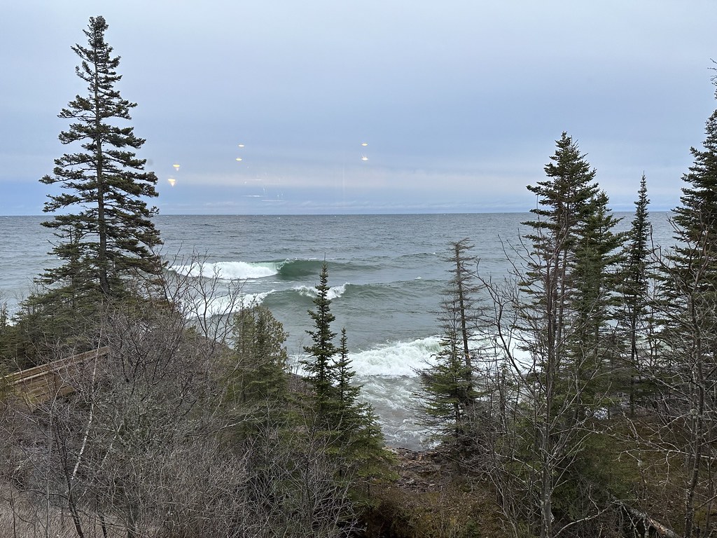 MASSIE LOOPHikingPhoto: Sank63, CC BY 2.0 (via Flickr)0.1 mi
- Norpine- Hall Massie SystemHiking0.2 mi
- HALL LOOPHiking1.2 mi
- Norpine- Hall LoopCross-country skiing1.2 mi
- Cascade RiverRiver fishing6 mi
- White Pine Lake CampgroundCamping7.3 mi
- Poplar River Rustic CampgroundCamping8.1 mi
- Clara Lake Rustic CampgroundCamping8.9 mi
Source: Roamze catalog (indexable pages within 10 miles, PostGIS distance)
- Norpine-Hall Massie SystemCross-country skiing · Next door
- Norpine- Hall LoopCross-country skiing · ~2 min drive
- Norpine-Deeryard ConnectorCross-country skiing · ~9 min drive
- Sugarbush Upland LoopCross-country skiing · ~16 min drive
- Lutsen MountainsDownhill skiing · ~7 min drive
- Norpine- Upper Ridge RunCross-country skiing · ~9 min drive
- Norpine-Short LoopCross-country skiing · ~9 min drive
- Norpine- Pioneer LoopCross-country skiing · ~10 min drive
- Bc- Bally Creek to CascadeCross-country skiing · ~17 min drive
- Bc-PinesCross-country skiing · ~18 min drive
Best time to visit Norpine- Massie Loop
Best months: May–September. Best months have typical highs of 55–85 °F, lows of 30 °F or warmer (32 °F where the station doesn't record snow), at most one snowy day and no more than 12 wet days.
Jan
17° / -3°
Feb
21° / -1°
Mar
33° / 11°
Apr
44° / 24°
May
58° / 38°
Jun
66° / 48°
Jul
73° / 54°
Aug
71° / 52°
Sep
62° / 44°
Oct
49° / 33°
Nov
34° / 20°
Dec
22° / 7°
Typical high / low (°F) and days with rain or snow, 1991–2020. Measured at Lutsen 3nne, MN, 2.4 mi away at 1,300 ft. This station doesn't record snowfall. Source: NOAA NCEI U.S. Climate Normals 1991–2020.
Closures we've recorded since August 2026
Forest-wide Fire Restrictions
Superior National Forest · Order dated July 12, 2026; seen Aug 23, 2026 → lifted Aug 25, 2026 · Forest Service

