Luge
- 0.2 mi
- round trip
- 226 ft
- climb
- Singletrack
- surface
- Out and back
- route
- Apr–Oct
- best months
Is Luge open right now?
No closures listed
The National Park Service lists no closures for Mississippi National River and Recreation Area.
As of · Source: NPS · Mississippi National River and Recreation Area. Agencies don't list every closure — check before you go.
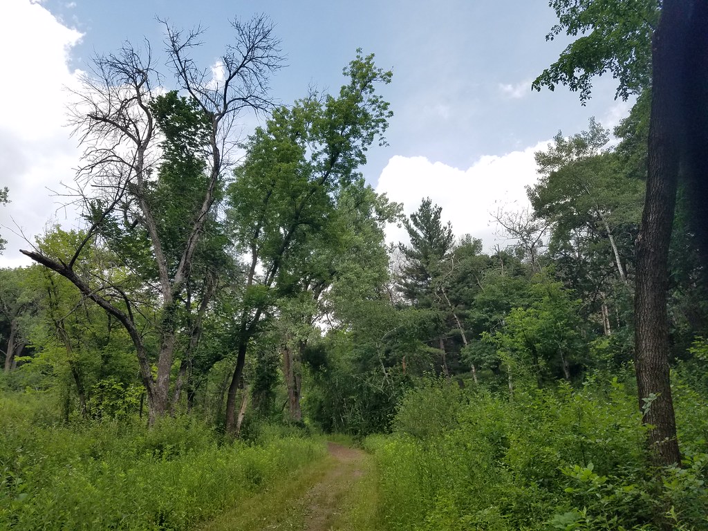
Luge is a short, hard mountain biking climb in Minnesota's Mississippi National River and Recreation Area, within Battle Creek Regional Park on county land. The route is an out-and-back that rises from 743 feet to 857 feet over a total of 0.42 miles, with about 226 feet of elevation gain and loss on the round trip. The steepest stretch comes at about 0.13 miles, where the grade reaches 15 percent. Summer is the most comfortable time to ride. Typical averages from a nearby weather station in St. Paul run to highs around 78°F in June and 82°F in July, while winter highs stay in the 20s. The trail sits close to a network of cross-country ski routes. Bowl and Meadow Loop are each about 0.1 miles away, and Competition Hill is about half a mile off.
Local outfitters
- Cannon Falls Canoe and Bike Rental30 mi away
- Paddlefish Adventures37 mi away
Not on Roamze yet. Their page has how to reach them.
Best time to go · Apr–Oct
Best time to visit Luge
Best months: April–October. Best months have typical highs of 55–85 °F, lows of 30 °F or warmer (32 °F where the station doesn't record snow), at most one snowy day and no more than 12 wet days.
Jan
23° / 8°
Feb
28° / 11°
Mar
41° / 23°
Apr
56° / 36°
May
69° / 48°
Jun
78° / 58°
Jul
82° / 63°
Aug
80° / 61°
Sep
72° / 53°
Oct
57° / 39°
Nov
41° / 26°
Dec
28° / 14°
Typical high / low (°F) and days with rain or snow, 1991–2020. Measured at St Paul, MN, 0.8 mi away at 900 ft. This station doesn't record snowfall. Source: NOAA NCEI U.S. Climate Normals 1991–2020.
Keep exploring — more rides worth the drive
RIDE
Aspen Loop (north)
~9 min drive
0.75-mile easy singletrack loop in Minnesota with 55 ft of elevation gain.
RIDE
Stillwater Singletrack
~22 min drive
0.20-mile moderate singletrack with 51 ft gain in Wisconsin
RIDE
Prairie Loop (south)
~9 min drive
0.17-mile easy singletrack out-and-back in Minnesota.
RIDE
Bowl
~48 min drive
Short technical singletrack perfect for skill building on intermediate terrain.
RIDE
Prairie Loop (south)
~9 min drive
Easy singletrack trail in Minnesota, City Land managed.
RIDE
Prairie Loop (south)
~9 min drive
0.28-mile easy singletrack out-and-back with 52 ft gain in Minnesota
RIDE
Prairie Loop (south)
~10 min drive
0.48-mile easy singletrack out-and-back with 75 ft gain in Minnesota.
RIDE
Prairie Loop (south)
~10 min drive
Prairie Loop (south) is an easy singletrack trail in Minnesota.
RIDE
Prairie Loop (south)
~10 min drive
2.57-mile out-and-back singletrack in Minnesota with 206 ft of elevation gain.
RIDE
Mississippi East Bank Trail
~22 min drive
Easy riverside trail perfect for beginners and families seeking a gentle introduction to mountain biking.
Map and trail data © OpenStreetMap contributors
