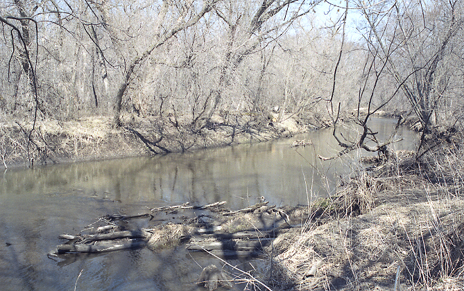
Whitewater River
 Photo: Jonathunder, CC BY-SA 3.0 (via Wikimedia Commons)
- 6.0 mi
- distance
- 739 ft
- high point
- Apr, Jun–Oct
- best months
Whitewater River is a 6-mile paddling stretch near Altura, Minnesota. It flows year-round. USGS models an average flow of about 198 cfs and a gradient of about 6.3 feet per mile. Land along it is managed by the state fish and wildlife agency.
Local outfitters
- Boulder Dam Canoe & Kayak Rental28 mi away
Not on Roamze yet. Their page has how to reach them.
 Zumbro RiverCanoeing · ~40 min drivePhoto: The original uploader was Malepheasant at English Wikipedia., CC BY-SA 2.5 (via Wikimedia Commons)
- Upper Spring Lake LandingBoat launch · ~13 min drive
 Buffalo RiverCanoeing · ~1h 11m drivePhoto: Jeff the quiet, CC0 (via Wikimedia Commons)
- Lower Spring Lake LandingBoat launch · ~14 min drive
 Trempealeau RiverCanoeing · ~1h 22m drivePhoto: Royalbroil, CC BY-SA 3.0 (via Wikimedia Commons)
- Mertes' Slough LandingBoat launch · ~31 min drive
- North Fork Whitewater RiverCanoeing · ~18 min drive
- Chester Lake Boat LaunchBoat launch · ~34 min drive
- Verchota Canoe TrailCanoeing · ~20 min drive
- Hwy 35/54 Boat LaunchBoat launch · ~39 min drive
Best time to visit Whitewater River
Best months: April and June–October. Best months have typical highs of 55–85 °F, lows of 30 °F or warmer (32 °F where the station doesn't record snow), at most one snowy day and no more than 12 wet days.
Jan
23° / 8°
8 wet · 6 snow
Feb
28° / 11°
7 wet · 4 snow
Mar
42° / 24°
9 wet · 3 snow
Apr
56° / 37°
12 wet · 1 snow
May
69° / 50°
13 wet
Jun
79° / 59°
12 wet
Jul
83° / 64°
10 wet
Aug
80° / 62°
10 wet
Sep
71° / 54°
10 wet
Oct
57° / 41°
10 wet
Nov
41° / 28°
8 wet · 1 snow
Dec
28° / 15°
8 wet · 4 snow
Typical high / low (°F) and days with rain or snow, 1991–2020. Measured at Minnesota City Dam 5, MN, 8.3 mi away at 670 ft. Source: NOAA NCEI U.S. Climate Normals 1991–2020.

