South Fork Zumbro River
- 47.6 mi
- distance
- 1,291 ft
- high point
- Apr, Jun–Oct
- best months
The South Fork Zumbro River is a canoeing route in southeastern Minnesota, about a mile from the community of Salem Corners. It is a paddling destination rather than a trail, so there is no climb or distance to plan around, and the route is measured in miles of water rather than steps on foot. Summer is the most comfortable time to paddle. Typical averages from a nearby weather station in Rochester show July highs around 80°F with lows near 61°F, while winter highs stay in the 20s. Several other outdoor spots lie within a short drive. The River Trail is about 3.4 miles away, and the Willow Creek Reservoir Loop is about 6.1 miles off. In winter, the Douglas State Trail and The Pipe, both cross-country ski routes, are within about 8 miles.
Local outfitters
- Boulder Dam Canoe & Kayak Rental13 mi away
- Cannon Falls Canoe and Bike Rental40 mi away
Not on Roamze yet. Their page has how to reach them.
- River TrailHiking3.4 mi
- Willow Creek Reservoir LoopHiking6.1 mi
- Douglas State TrailCross-country skiing7.1 mi
- The PipeCross-country skiing7.7 mi
- MeanderCross-country skiing8 mi
- Hammer TrailCross-country skiing8.3 mi
- North Branch Root RiverCanoeing9.2 mi
Source: Roamze catalog (indexable pages within 10 miles, PostGIS distance)
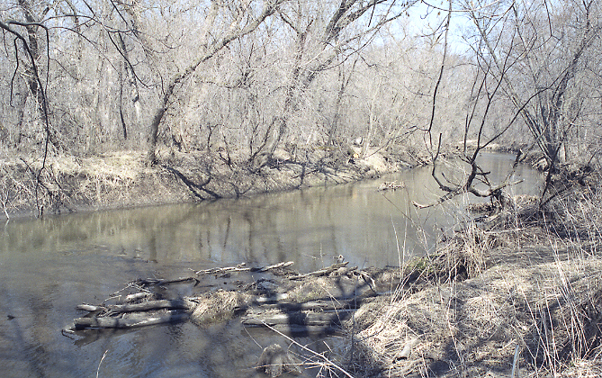 Zumbro RiverCanoeing · ~34 min drivePhoto: The original uploader was Malepheasant at English Wikipedia., CC BY-SA 2.5 (via Wikimedia Commons)
- Allis Park Canoe LaunchBoat launch · ~23 min drive
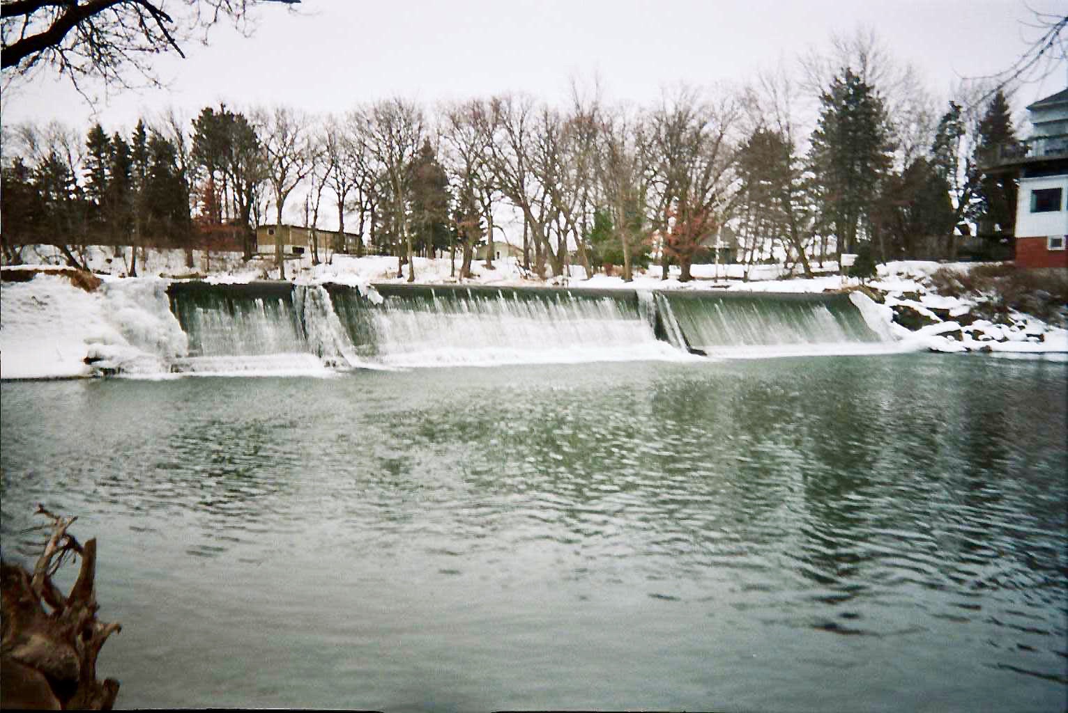 Cedar RiverCanoeing · ~34 min drivePhoto: Hraefen at English Wikipedia, Public domain (via Wikimedia Commons)
- Chester Lake Boat LaunchBoat launch · ~25 min drive
 Upper Iowa RiverCanoeing · ~55 min drivePhoto: Wikideas1, CC0 (via Wikimedia Commons)
- Fisherman'sBoat launch · ~27 min drive
 Straight RiverCanoeing · ~57 min drivePhoto: Tim Kiser (w:User:Malepheasant), CC BY-SA 2.5 (via Wikimedia Commons)
- Upper Spring Lake LandingBoat launch · ~1h 10m drive
 Whitewater RiverCanoeing · ~57 min drivePhoto: Jonathunder, CC BY-SA 3.0 (via Wikimedia Commons)
- Lake Byllesby Motorboat SlipwayBoat launch · ~1h 10m drive
Best time to visit South Fork Zumbro River
Best months: April and June–October. Best months have typical highs of 55–85 °F, lows of 30 °F or warmer (32 °F where the station doesn't record snow), at most one snowy day and no more than 12 wet days.
Jan
23° / 7°
9 wet
Feb
27° / 11°
8 wet
Mar
40° / 23°
10 wet
Apr
55° / 35°
12 wet
May
68° / 47°
13 wet
Jun
78° / 58°
12 wet
Jul
80° / 61°
11 wet
Aug
78° / 58°
10 wet
Sep
72° / 50°
9 wet
Oct
58° / 38°
9 wet
Nov
42° / 26°
9 wet
Dec
28° / 14°
10 wet
Typical high / low (°F) and days with rain or snow, 1991–2020. Measured at Rochester Intl Ap, MN, 7.2 mi away at 1,304 ft. This station doesn't record snowfall. Source: NOAA NCEI U.S. Climate Normals 1991–2020.
