Wills Lake Hunter Walking
 Photo: Tony Webster, CC BY 2.0 (via Flickr)
- 6.0 mi
- round trip
- 689 ft
- climb
- 1,862 ft
- high point
- Out and back
- route
- May–Sep
- best months
Caution today
Agency alerts are in effect for this area; weather is good · USFS, OpenWeather · checked 4 h ago
Is Wills Lake Hunter Walking open right now?
Closure in the area
There's a closure order in Superior National Forest. It doesn't name Wills Lake Hunter Walking, so check the source for the area it covers.
Post Wildfire Closures, Effective October 1, 2026
Agency closure covering Superior National Forest · Order 09-09-00-26-11 · USFS · Superior National Forest
Forest Road Improvement Projects
Agency alert covering Superior National Forest · USFS · Superior National Forest
As of · Source: USFS · Superior National Forest. Agencies don't list every closure — check before you go.
Wills Lake Hunter Walking is a 6-mile out-and-back hike in the Tofte Ranger District of Superior National Forest in Minnesota, on Forest Service land. The trail rises from about 1,681 feet to a high point of 1,862 feet, with a total elevation gain of 689 feet over the full trip. The climb is steepest at about 1.1 miles in, with a 13% grade, and the route is rated hard. Summer is the most comfortable time to go. Typical averages from a nearby weather station at Lutsen run to highs around 73°F in July and 71°F in August, with July lows near 54°F. That station sits roughly 560 feet lower than the trail, so temperatures on the hike run cooler. The trail is open year round and takes about 2.5 hours to complete. It's not accessible. Bikes are allowed, and the route is on natural surface. The Wills Hunter Walking Spur D starts about 0.3 miles away, and the Wills Hunter Waliking Spur E and Wills Hunter Walking Spur F are within about half a mile. For overnight stays, Clara Lake Rustic Campground is about 3.5 miles away.
Local outfitters
- Sawtooth Outfitters17 mi away
- NorWester Lodge and Canoe Outfitters20 mi away
Not on Roamze yet. Their page has how to reach them.
- Wills Hunter Walking Spur DHiking0.3 mi
- Wills Hunter Waliking Spur EHiking0.5 mi
- Wills Hunter Walking Spur FHiking0.6 mi
- Clara Lake Rustic CampgroundCamping3.5 mi
- Crescent to Rice Lake Canoe RouteCanoeing4.5 mi
- White Pine Lake CampgroundCamping4.7 mi
- Crescent Lake CgCamping4.9 mi
- Rice LakeLake fishing5 mi
Source: Roamze catalog (indexable pages within 10 miles, PostGIS distance)
 PANCORE LAKE BIKE TRAILHiking · ~13 min drivePhoto: Superior National Forest, CC BY 2.0 (via Wikimedia Commons)
 CASCADE UPPER RIDGE RUNHiking · ~13 min drivePhoto: Tony Webster, CC BY 2.0 (via Flickr)
- Norpine- Pioneer LoopHiking · ~14 min drivePhoto: Tony Webster, CC BY 2.0 (via Flickr)
- Cj Ramstad North Shore StateHiking · ~6 min drive
- Cascade LoopHiking · ~6 min drive
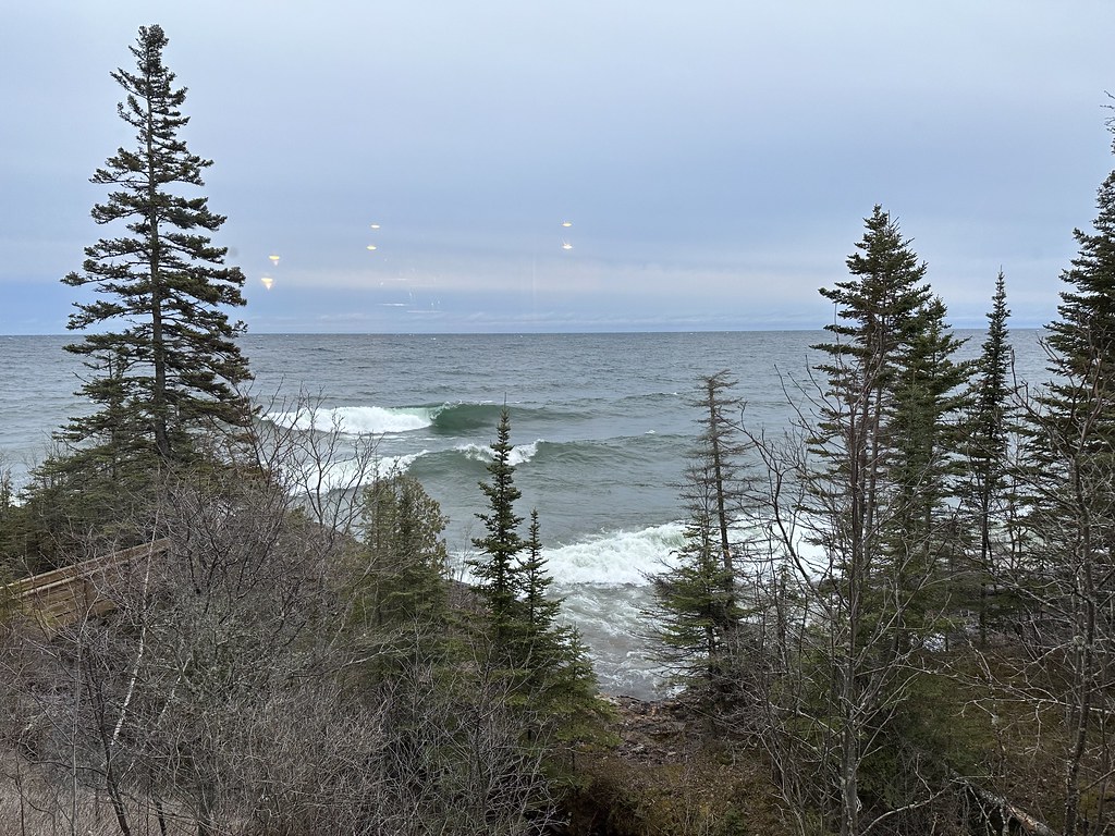 MASSIE LOOPHiking · ~15 min drivePhoto: Sank63, CC BY 2.0 (via Flickr)
- MARK LAKE SPUR EHiking · ~4 min drive
- LUTSEN CONNECTOR BIKE TRAILHiking · ~15 min drive
- Pike Lake LoopHiking · ~8 min drive
- Wills Hunter Walking Spur DHiking · Next door
Best time to visit Wills Lake Hunter Walking
Best months: May–September. Best months have typical highs of 55–85 °F, lows of 30 °F or warmer (32 °F where the station doesn't record snow), at most one snowy day and no more than 12 wet days.
Jan
17° / -3°
Feb
21° / -1°
Mar
33° / 11°
Apr
44° / 24°
May
58° / 38°
Jun
66° / 48°
Jul
73° / 54°
Aug
71° / 52°
Sep
62° / 44°
Oct
49° / 33°
Nov
34° / 20°
Dec
22° / 7°
Typical high / low (°F) and days with rain or snow, 1991–2020. Measured at Lutsen 3nne, MN, 6.3 mi away at 1,300 ft. The station sits about 600 ft lower than this place, so expect it a little cooler here. This station doesn't record snowfall. Source: NOAA NCEI U.S. Climate Normals 1991–2020.
Closures we've recorded since August 2026
Forest-wide Fire Restrictions
Superior National Forest · Order dated July 12, 2026; seen Aug 23, 2026 → lifted Aug 25, 2026 · Forest Service
