North Country National Scenic Trail (Mn)
- 849 mi
- one way
- 7,586 ft
- climb
- 2,042 ft
- high point
- Point to point
- route
- May–Oct
- best months
The North Country National Scenic Trail (MN) is a long-distance hike in northern Minnesota, stretching about 850 miles with a total elevation gain of about 7,600 feet. The route is point to point, starting at roughly 920 feet and rising to a high point of about 2,040 feet. The nearest town is McCauleyville, about half a mile away. The trail is rated easy, and the trip is estimated to take about 287 hours. That makes it a multi-day journey rather than a single outing, and the route is not wheelchair accessible. Summer is the most comfortable time to go. Typical July highs reach about 82°F with lows near 60°F, based on averages from a nearby weather station. That station sits about 1,000 feet lower than the trail's high point, so temperatures on higher ground run cooler. Fort Abercrombie State Historical Park lies just 0.1 mile away, and the Red River Valley Provisional Route is about 1.8 miles off.
Source: Roamze catalog (indexable pages within 10 miles, PostGIS distance)
 Sheyenne National GrasslandHiking · ~37 min drivePhoto: Forest Service - Northern Region, Public Domain Mark (via Flickr)
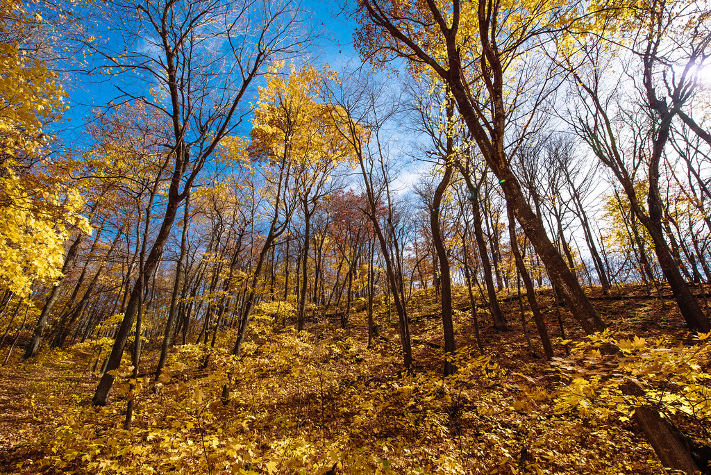 Heart Of The Lakes TrailHiking · ~1h 4m drivePhoto: Tony Webster, CC BY-SA 2.0 (via Flickr)
- Red River Valley Provisional RouteHiking · ~3 min drive
 Fergus Falls Fish And Game ClubHiking · ~58 min drivePhoto: Bruce Guenter, CC BY 2.0 (via Wikimedia Commons)
 Oak LeafHiking · ~41 min drivePhoto: Forest Service - Northern Region, Public Domain Mark (via Flickr)
- Hankinson HillsHiking · ~44 min drive
 Old Hallaway TrailHiking · ~1h 1m drivePhoto: Tony Webster, CC BY 2.0 (via Flickr)
- Agassiz Recreational TrailHiking · ~1h 24m drive
 Hallaway Hill TrailHiking · ~1h 1m drivePhoto: Tony Webster, CC BY-SA 2.0 (via Flickr)
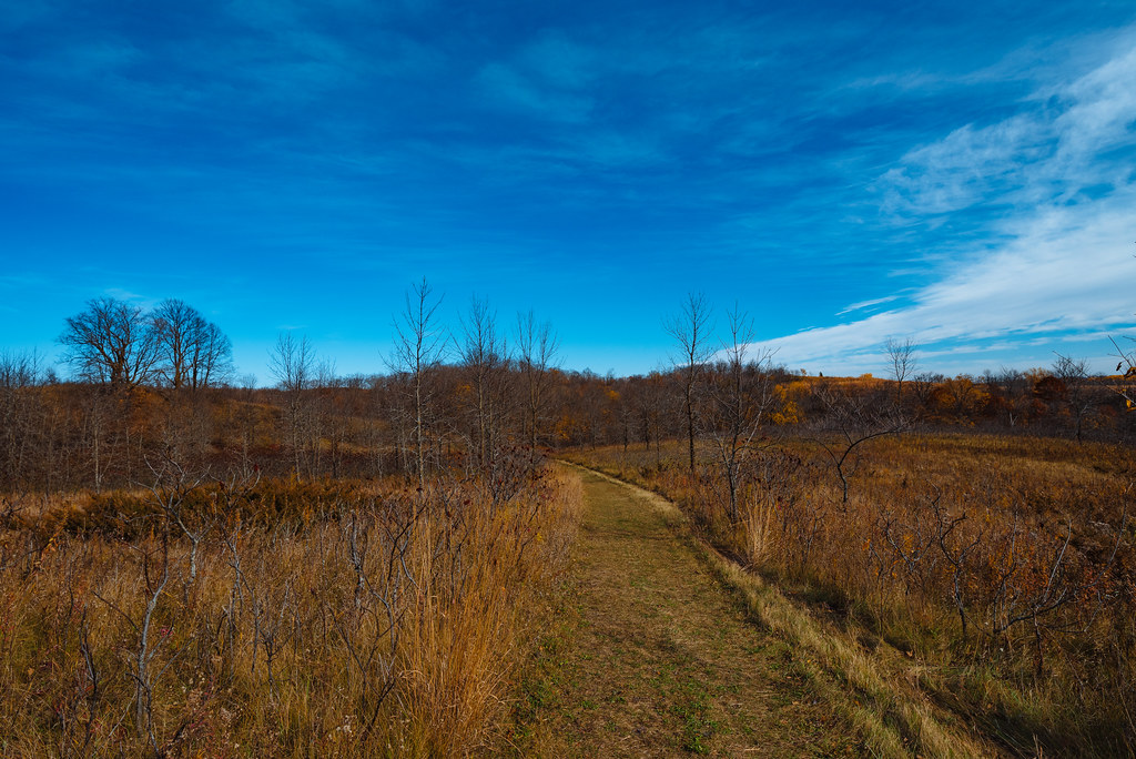 Ironwood TrailHiking · ~1h 2m drivePhoto: Tony Webster, CC BY-SA 2.0 (via Flickr)
Best time to visit North Country National Scenic Trail (Mn)
Best months: May–October. Best months have typical highs of 55–85 °F, lows of 30 °F or warmer (32 °F where the station doesn't record snow), at most one snowy day and no more than 12 wet days.
Jan
19° / -1°
Feb
23° / 2°
Mar
37° / 17°
Apr
54° / 31°
May
68° / 45°
Jun
77° / 56°
Jul
82° / 60°
Aug
81° / 57°
Sep
73° / 48°
Oct
57° / 34°
Nov
39° / 20°
Dec
24° / 7°
Typical high / low (°F) and days with rain or snow, 1991–2020. Measured at Breckenridge 3e, MN, 13.4 mi away at 971 ft. The station sits about 1,100 ft lower than this place, so expect it a little cooler here. This station doesn't record snowfall. Source: NOAA NCEI U.S. Climate Normals 1991–2020.

Map and trail data © OpenStreetMap contributors
