Moose Mtn Scientific and Natural Area Trail
- 0.6 mi
- round trip
- 299 ft
- climb
- 1,267 ft
- high point
- Out and back
- route
- May–Sep
- best months
Moose Mtn Scientific and Natural Area Trail is a short, easy hike in Minnesota, about 1.6 miles from the town of Lakewood. The trail is an out-and-back route of about 1.2 miles, with a total climb of roughly 299 feet. The climb is front-loaded, with the steepest stretch at about 0.27 miles in, and the trail reaches a high point of about 1,267 feet. Summer is the most comfortable time to go. Typical averages from a nearby weather station show July highs around 76°F with lows near 55°F, while January highs average just 17°F. Several other outdoor spots sit within a couple of miles. The Lester River Trail / Duluth Traverse and the Ski Trail are both about 1.7 miles away, and the Hawks Ridge Trail / Duluth Traverse is about 1.9 miles off. Climbers can find Hartley about 6 miles away.
- Lester River Trail / Duluth TraverseMountain biking1.7 mi
- Ski TrailCross-country skiing1.7 mi
- Amity EastMountain biking1.9 mi
- Hawks Ridge Trail / Duluth TraverseMountain biking1.9 mi
- HartleyRock climbing6.1 mi
- 26th St. BouldersRock climbing6.4 mi
- Duluth Rock ClimbsRock climbing7.6 mi
- The Fox's DenRock climbing9.3 mi
Source: Roamze catalog (indexable pages within 10 miles, PostGIS distance)
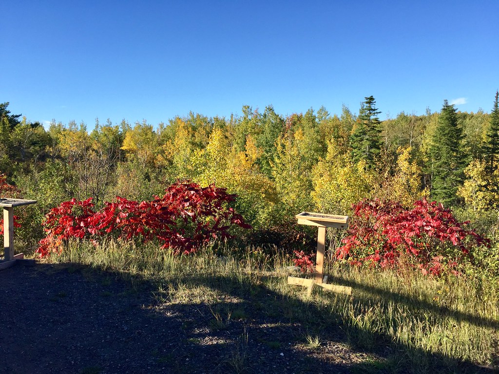 Hawk Ridge TrailsHiking · ~6 min drivePhoto: Minnesota Denizen, CC BY 2.0 (via Flickr)
 Brule River State ForestHiking · ~1h 1m drivePhoto: Aarongunnar, CC BY-SA 3.0 (via Wikimedia Commons)
- Bayfield County ForestHiking · ~1h 4m drive
 Waabizheshikana: the Marten TrailHiking · ~25 min drivePhoto: Sharon Mollerus, CC BY 2.0 (via Flickr)
- Yukon SouthHiking · ~42 min drive
- Harris LakeHiking · ~48 min drive
 Tommila LakeHiking · ~55 min drivePhoto: Tony Webster, CC BY 2.0 (via Flickr)
- North Country National ScenicHiking · ~1h 4m drive
 Brule River Gated RoadHiking · ~1h drivePhoto: Aarongunnar, CC BY-SA 3.0 (via Wikimedia Commons)
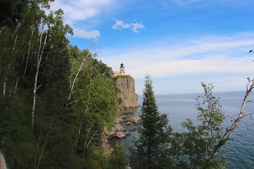 Corundrum Mine TrailHiking · ~1h 1m drivePhoto: daveynin, CC BY 2.0 (via Flickr)
Best time to visit Moose Mtn Scientific and Natural Area Trail
Best months: May–September. Best months have typical highs of 55–85 °F, lows of 30 °F or warmer (32 °F where the station doesn't record snow), at most one snowy day and no more than 12 wet days.
Jan
17° / -2°
Feb
23° / 1°
Mar
36° / 15°
Apr
48° / 28°
May
63° / 40°
Jun
72° / 50°
Jul
76° / 55°
Aug
75° / 54°
Sep
66° / 46°
Oct
51° / 34°
Nov
35° / 21°
Dec
23° / 7°
Typical high / low (°F) and days with rain or snow, 1991–2020. Measured at Island Lake 4e, MN, 10.6 mi away at 1,410 ft. This station doesn't record snowfall. Source: NOAA NCEI U.S. Climate Normals 1991–2020.
Map and trail data © OpenStreetMap contributors
