Hilltop Trail
 Photo: McGhiever, CC BY-SA 3.0 (via Wikimedia Commons)
- 0.7 mi
- round trip
- 139 ft
- climb
- 1,416 ft
- high point
- Out and back
- route
- May–Oct
- best months
Hilltop Trail is a short, easy hike in Lake Carlos State Park in Minnesota, about 2.7 miles from the town of Carlos. The trail is an out-and-back route that covers roughly 1.4 miles, with a total climb of about 139 feet from the low point at 1,382 feet to the high point at 1,416 feet. Summer is the most comfortable time to go. Typical averages from a nearby weather station in Alexandria show July highs around 80°F with lows near 61°F, while winter highs stay in the teens and 20s. The trail is managed by State Park and Recreation, and there are no fees or special rules to note.
 Fergus Falls Fish And Game ClubHiking · ~1h 8m drivePhoto: Bruce Guenter, CC BY 2.0 (via Wikimedia Commons)
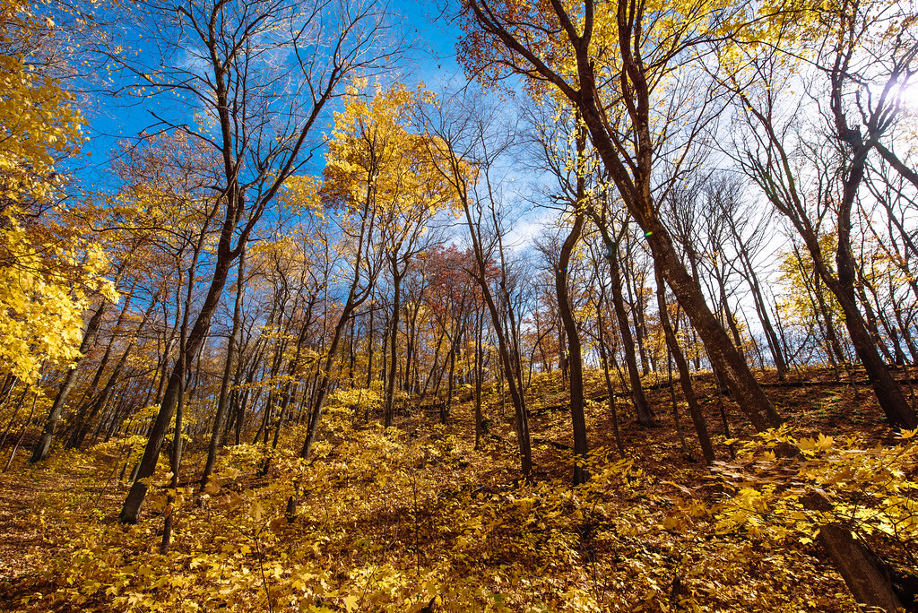 Heart Of The Lakes TrailHiking · ~1h 22m drivePhoto: Tony Webster, CC BY-SA 2.0 (via Flickr)
- Woodland TrailHiking · ~1h 20m drivePhoto: Tony Webster, CC BY-SA 2.0 (via Flickr)
 Grass Lake TrailHiking · ~1h 21m drivePhoto: Tony Webster, CC BY 2.0 (via Flickr)
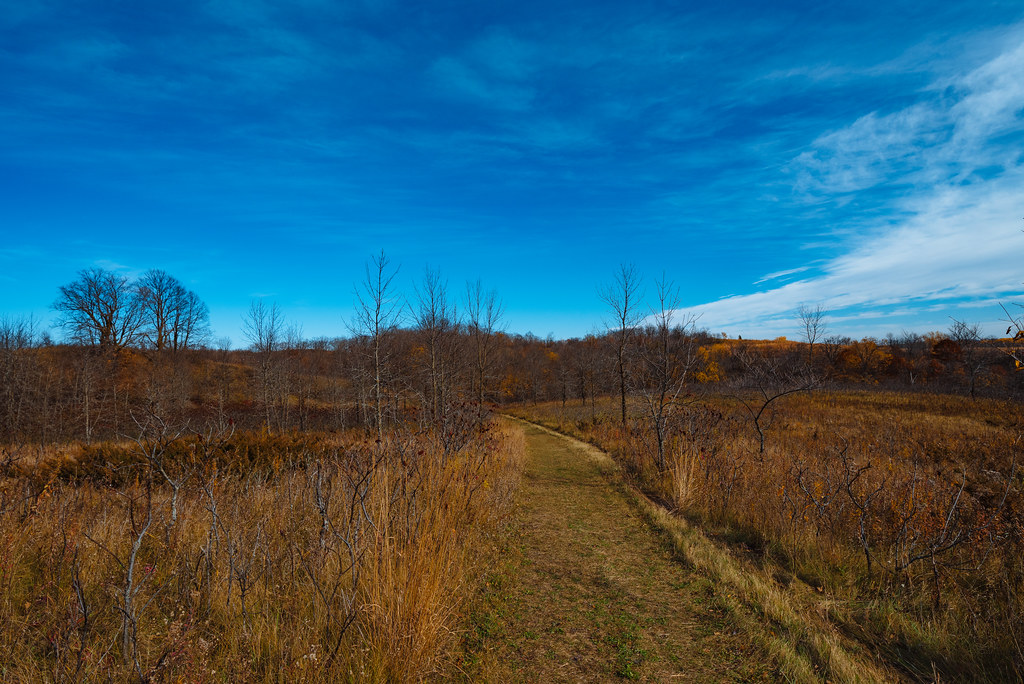 Ironwood TrailHiking · ~1h 21m drivePhoto: Tony Webster, CC BY-SA 2.0 (via Flickr)
- Cataract Lake TrailHiking · ~1h 21m drivePhoto: Tony Webster, CC BY-SA 2.0 (via Flickr)
 Old Hallaway TrailHiking · ~1h 23m drivePhoto: Tony Webster, CC BY 2.0 (via Flickr)
 Hallaway Hill TrailHiking · ~1h 24m drivePhoto: Tony Webster, CC BY-SA 2.0 (via Flickr)
- Delagoon Recreation AreaHiking · ~1h 7m drive
- Central Lakes Trail - TunnelHiking · ~1h 7m drive
Best time to visit Hilltop Trail
Best months: May–October. Best months have typical highs of 55–85 °F, lows of 30 °F or warmer (32 °F where the station doesn't record snow), at most one snowy day and no more than 12 wet days.
Jan
19° / 2°
4 wet
Feb
24° / 6°
4 wet
Mar
37° / 19°
6 wet
Apr
52° / 33°
9 wet
May
66° / 45°
12 wet
Jun
76° / 56°
12 wet
Jul
80° / 61°
11 wet
Aug
78° / 59°
10 wet
Sep
70° / 50°
9 wet
Oct
55° / 37°
8 wet
Nov
38° / 23°
5 wet
Dec
24° / 10°
5 wet
Typical high / low (°F) and days with rain or snow, 1991–2020. Measured at Alexandria Muni Ap, MN, 9.6 mi away at 1,416 ft. This station doesn't record snowfall. Source: NOAA NCEI U.S. Climate Normals 1991–2020.
Map and trail data © OpenStreetMap contributors
