Hillside Trail
 Photo: U.S. Department of the Interior, CC BY-SA 2.0 (via Wikimedia Commons)
- 0.4 mi
- round trip
- 177 ft
- climb
- 826 ft
- high point
- Out and back
- route
- Apr–Oct
- best months
Hillside Trail is a short, easy out-and-back hike in Long Meadow Lake Unit Park, a park managed by a non-governmental organization in Minnesota. The trail is 0.86 miles long, and the round trip climbs about 177 feet from a start elevation of 770 feet to a high point of 826 feet. The route is gentle, with the steepest stretch at about 0.27 miles in, where the grade reaches 11 percent. Summer is the most comfortable time to go. Typical averages from the nearby Minneapolis/St Paul airport weather station run to highs around 79°F in June and 83°F in July, with July lows near 65°F. The trip takes about half an hour, so plan on a quick outing. Hogback Ridge Trail is about 2.5 miles away, and the Scarlet Tanager Loop and Indigo Bunting Loop are each about 2.9 miles off. For winter, Pike Island Trail, a cross-country ski route, is about 2.8 miles away.
Local outfitters
- Paddlefish Adventures47 mi away
Not on Roamze yet. Their page has how to reach them.
Best time to go · Apr–Oct
Best time to visit Hillside Trail
Best months: April–October. Best months have typical highs of 55–85 °F, lows of 30 °F or warmer (32 °F where the station doesn't record snow), at most one snowy day and no more than 12 wet days.
Jan
24° / 9°
10 wet
Feb
29° / 13°
8 wet
Mar
42° / 25°
9 wet
Apr
57° / 38°
11 wet
May
69° / 50°
12 wet
Jun
79° / 60°
12 wet
Jul
83° / 65°
10 wet
Aug
81° / 63°
10 wet
Sep
73° / 54°
9 wet
Oct
58° / 41°
9 wet
Nov
42° / 28°
9 wet
Dec
29° / 15°
9 wet
Typical high / low (°F) and days with rain or snow, 1991–2020. Measured at Minneapolis/St Paul Ap, MN, 1.8 mi away at 872 ft. This station doesn't record snowfall. Source: NOAA NCEI U.S. Climate Normals 1991–2020.
Keep exploring — more trails worth the drive
 Photo: Sank63, CC BY 2.0 (via Flickr)
Mendota Trail
~2 min drive
5.36-mile out-and-back trail in Minnesota with 12 ft of elevation gain.
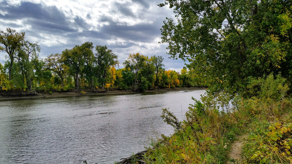 Photo: Joe Passe, CC BY-SA 2.0 (via Flickr)
Long Meadow Lake Trail
~7 min drive
Point-to-point trail to Long Meadow Lake through meadows and forest.
 Photo: Joe Passe, CC BY-SA 2.0 (via Flickr)
Hogback Ridge Trail
~4 min drive
1.37-mile point-to-point trail in Minnesota with 148 ft gain
 Photo: bjwhite66212, CC BY-SA 2.0 (via Flickr)
West River Parkway Trail
~8 min drive
16.06-mile out-and-back trail in Minnesota with 172 ft elevation gain.
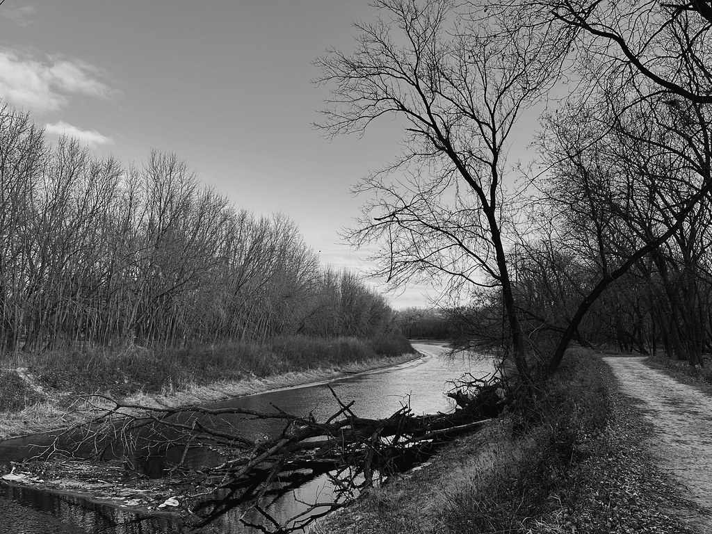 Photo: Sank63, CC BY 2.0 (via Flickr)
New Hope Trail
~4 min drive
New Hope Trail is a 2.14-mile out-and-back trail in Minnesota.
 Photo: Joe Passe, CC BY-SA 2.0 (via Flickr)
Voyageur Trek
~10 min drive
Historic point-to-point trail following a voyageur water route through Minnesota.
 Photo: Nick Ortloff from Minneapolis, MN, CC BY-SA 2.0 (via Wikimedia Commons)
Grand Rounds National Scenic Byway
~6 min drive
0.96-mile point-to-point trail in Minnesota with 151 ft elevation gain
 Photo: Joe Passe, CC BY-SA 2.0 (via Flickr)
River Bottoms Trail
~10 min drive
8.68-mile out-and-back hike in Minnesota with 983 ft gain.
Photo: Joe Passe, CC BY-SA 2.0 (via Flickr)Minnesota Valley State Trail (Long Meadow Lake Unit)
~7 min drive
1.16-mile out-and-back trail with 199 ft elevation gain in Minnesota
HIKE
Prairie Loop (South)
~12 min drive
Easy out-and-back prairie trail with native grassland views.

