Hill City Walking Path
- 1.6 mi
- round trip
- 131 ft
- climb
- 1,346 ft
- high point
- Out and back
- route
- May–Sep
- best months
Hill City Walking Path is an easy out-and-back hike in Minnesota, about 1.3 miles from the town of Hill City. The route is roughly 3.2 miles long, with a total climb of about 131 feet and a steepest stretch of about 5% at around 1.1 miles in. Summer is the most comfortable time to go. Typical averages from a nearby weather station run from highs in the mid-70s in June and July to about 78°F in July, with lows in the upper 50s. Winters are cold, with January highs near 19°F and lows around -2°F. The path starts and ends at about 1,295 feet, with the high point at 1,346 feet.
 Savanna Portage TrailHiking · ~38 min drivePhoto: McGhiever, CC BY-SA 3.0 (via Wikimedia Commons)
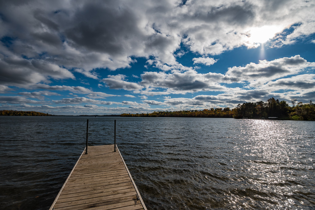 Mesabi TrailHiking · ~40 min drivePhoto: Tony Webster, CC BY-SA 2.0 (via Flickr)
- Sugar Lake HwtHiking · ~29 min drive
- Johnson Lake HwtHiking · ~37 min drive
 Suomi TrailHiking · ~56 min drivePhoto: Lorie Shaull, CC BY 2.0 (via Flickr)
- Suomi Hills Trail SdHiking · ~54 min drive
- Suomi Hills Trail SHiking · ~54 min drive
- CampHiking · ~21 min drive
- Skeeter Lake HwtHiking · ~58 min drive
- Trout Lake TrailHiking · ~54 min drive
Best time to visit Hill City Walking Path
Best months: May–September. Best months have typical highs of 55–85 °F, lows of 30 °F or warmer (32 °F where the station doesn't record snow), at most one snowy day and no more than 12 wet days.
Jan
19° / -2°
Feb
25° / 0°
Mar
37° / 14°
Apr
51° / 30°
May
65° / 43°
Jun
74° / 53°
Jul
78° / 58°
Aug
77° / 56°
Sep
69° / 48°
Oct
54° / 35°
Nov
37° / 22°
Dec
24° / 7°
Typical high / low (°F) and days with rain or snow, 1991–2020. Measured at Sandy Lake Dam Libby, MN, 18.1 mi away at 1,234 ft. This station doesn't record snowfall. Source: NOAA NCEI U.S. Climate Normals 1991–2020.
Map and trail data © OpenStreetMap contributors
