County Forest
- 7.2 mi
- round trip
- 1,186 ft
- climb
- 1,787 ft
- high point
- Out and back
- route
- Aug–Sep
- best months
County Forest is a 7.2-mile hike in Minnesota, about 7 miles from the town of Goldenrod. It is an out-and-back route that rises from 1,682 feet to 1,787 feet, with a total elevation gain of 379 feet. The climb is moderate, and the steepest stretch comes at about 3.7 miles in, where the grade reaches 15 percent. Summer is the most comfortable time to go. Typical averages from a nearby weather station show July highs around 79°F with lows near 55°F, while winter highs stay in the teens and 20s. The trail is not open to bikes or horses. For more time on foot, the Nct hike lies about 3.4 miles away, and the Ozawindib Trail is about 9.4 miles off. Camp Itasca, a campground, is about 9.7 miles away.
Source: Roamze catalog (indexable pages within 10 miles, PostGIS distance)
 Star Island Hiking Trail BHiking · ~1h 10m drivePhoto: {{{1}}}, No restrictions (via Wikimedia Commons)
- Star Island Hiking Trail GHiking · ~1h 11m drivePhoto: {{{1}}}, No restrictions (via Wikimedia Commons)
- North Country National Scenic TrailHiking · ~32 min drive
- Paul Bunyan State ForestHiking · ~38 min drive
- Star Island Hiking TrailHiking · ~1h 11m drivePhoto: {{{1}}}, No restrictions (via Wikimedia Commons)
 Lake Erin HikingHiking · ~1h 8m drivePhoto: Tony Webster — CC BY-SA 2.0 (via Flickr)
- Agassiz Recreational TrailHiking · ~1h 14m drive
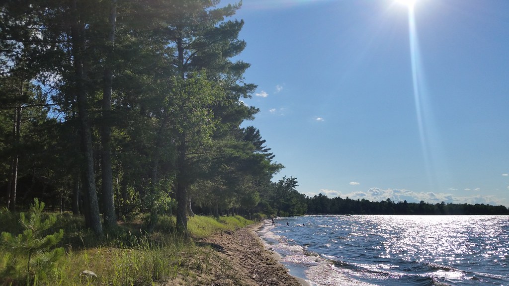 Norway Beach Nature TrailHiking · ~1h 13m drivePhoto: Joe Passe, CC BY-SA 2.0 (via Flickr)
- Ozawindib TrailHiking · ~16 min drive
- NctHiking · ~6 min drive
Best time to visit County Forest
Best months: August–September. Best months have typical highs of 55–85 °F, lows of 30 °F or warmer (32 °F where the station doesn't record snow), at most one snowy day and no more than 12 wet days.
Jan
17° / -4°
9 wet
Feb
23° / -2°
7 wet
Mar
36° / 12°
8 wet
Apr
51° / 26°
9 wet
May
65° / 39°
13 wet
Jun
74° / 51°
14 wet
Jul
79° / 55°
13 wet
Aug
77° / 53°
11 wet
Sep
68° / 44°
11 wet
Oct
52° / 32°
11 wet
Nov
35° / 19°
9 wet
Dec
22° / 5°
10 wet
Typical high / low (°F) and days with rain or snow, 1991–2020. Measured at Itasca Univ Of Minn, MN, 9 mi away at 1,490 ft. This station doesn't record snowfall. Source: NOAA NCEI U.S. Climate Normals 1991–2020.
