Big Rice-Hook
- 3.8 mi
- round trip
- 1,788 ft
- climb
- 1,540 ft
- high point
- Out and back
- route
- Aug–Sep
- best months
Caution at last check
Agency alerts are in effect for this area; weather is good · USFS, OpenWeather · checked 20 h ago
Is Big Rice-Hook open right now?
Closure in the area
There's a closure order in Superior National Forest. It doesn't name Big Rice-Hook, so check the source for the area it covers.
Post Wildfire Closures, Effective October 1, 2026
Agency closure covering Superior National Forest · Order 09-09-00-26-11 · USFS · Superior National Forest
Forest Road Improvement Projects
Agency alert covering Superior National Forest · USFS · Superior National Forest
As of · Source: USFS · Superior National Forest. Agencies don't list every closure — check before you go.
Big Rice-Hook is a 3.8-mile out-and-back hike in the Boundary Waters Canoe Area Wilderness, within the Kawishiwi Ranger District of Superior National Forest in northeastern Minnesota. The Forest Service manages the land, and the trail is rated moderate. The route starts at about 1,430 feet and reaches a high of about 1,540 feet, with the steepest stretch at roughly 0.7 miles in, where the grade reaches about 6%. The trail is natural-surface and does not allow bikes or horses. Summer is the most comfortable time to go. Typical averages from the nearby Ely weather station show July highs around 79°F with lows near 53°F, while winter highs stay in the teens and 20s. The Big Rice Lake-Hook Lake hike lies just 0.1 mile away. Coxey Pond Loop, a cross-country ski route, and Lost Lake North are both about 2.3 miles off. Fenske Lake Campground, about 5.4 miles away, offers pier fishing.
Local outfitters
Not on Roamze yet. Their page has how to reach them.
- Big Rice Lake-Hook LakeHiking0.1 mi
- Coxey Pond LoopCross-country skiing2.2 mi
- Lost Lake NorthHiking2.3 mi
- North Star RunCross-country skiing2.3 mi
- OLE'S LOOPHiking2.4 mi
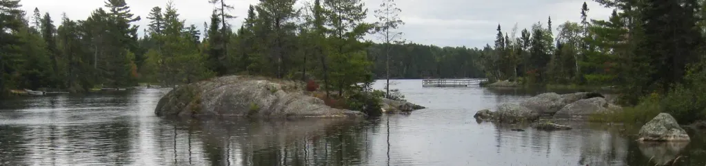 Fenske Lake CampgroundPier fishingPhoto: Recreation.gov (RIDB) / public domain5.4 mi
- Circle RouteCanoeing7.3 mi
- Science BoulderRock climbing7.9 mi
Source: Roamze catalog (indexable pages within 10 miles, PostGIS distance)
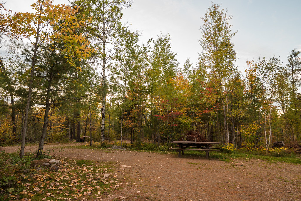 NORTH JUNCTION-SOUTH LOOPHiking · ~8 min drivePhoto: Tony Webster, CC BY-SA 2.0 (via Flickr)
- OLE'S LOOPHiking · ~4 min drive
- Hug a TreeHiking · ~5 min drive
 Stuart River EntryHiking · ~9 min drivePhoto: Tony Webster, CC BY 2.0 (via Flickr)
- Troll's WayHiking · ~6 min drive
- Coxey PondHiking · ~6 min drive
- Fenske CampgroundHiking · ~9 min drivePhoto: Tony Webster, CC BY-SA 2.0 (via Flickr)
- NORTH ARM TRAILHiking · ~6 min drive
- SLIM LAKE LOOPHiking · ~6 min drive
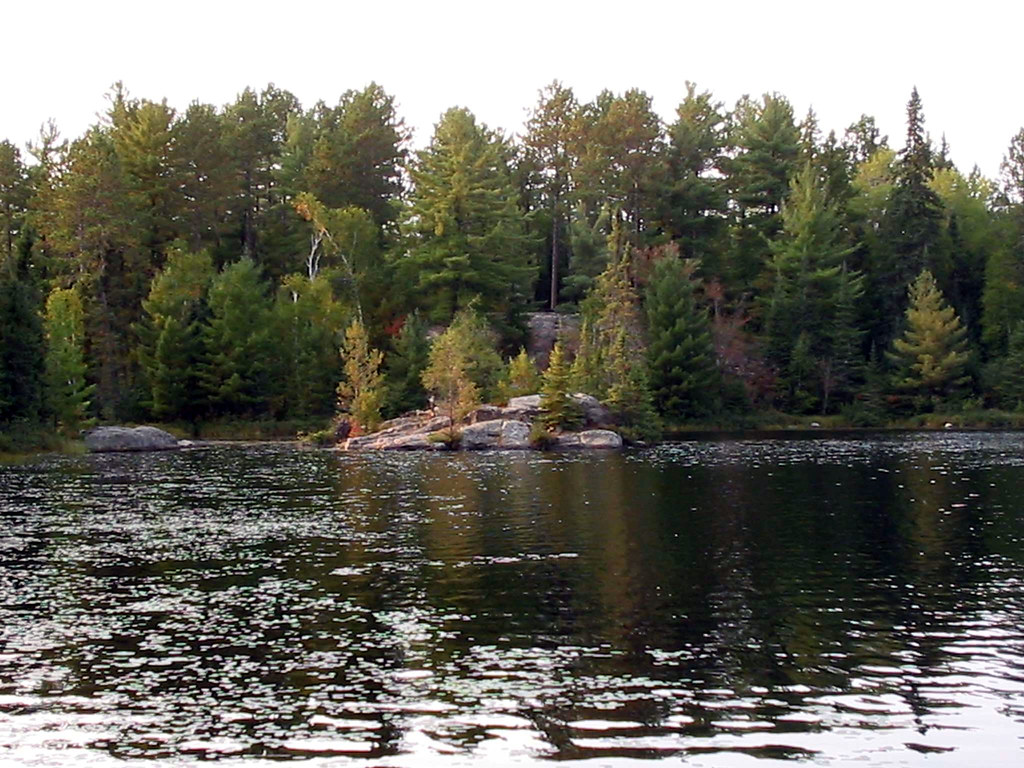 Everett-FenskiHiking · ~10 min drivePhoto: Joe Passe, CC BY-SA 2.0 (via Flickr)
Best time to visit Big Rice-Hook
Best months: August–September. Best months have typical highs of 55–85 °F, lows of 30 °F or warmer (32 °F where the station doesn't record snow), at most one snowy day and no more than 12 wet days.
Jan
15° / -7°
11 wet
Feb
23° / -5°
9 wet
Mar
36° / 10°
9 wet
Apr
51° / 25°
10 wet
May
65° / 38°
13 wet
Jun
75° / 49°
14 wet
Jul
79° / 53°
13 wet
Aug
78° / 52°
12 wet
Sep
68° / 44°
12 wet
Oct
52° / 32°
14 wet
Nov
34° / 19°
11 wet
Dec
21° / 3°
11 wet
Typical high / low (°F) and days with rain or snow, 1991–2020. Measured at Ely, MN, 10.3 mi away at 1,382 ft. This station doesn't record snowfall. Source: NOAA NCEI U.S. Climate Normals 1991–2020.
Closures we've recorded since August 2026
Forest-wide Fire Restrictions
Superior National Forest · Order dated July 12, 2026; seen Aug 23, 2026 → lifted Aug 25, 2026 · Forest Service
