North Junction-South Loop
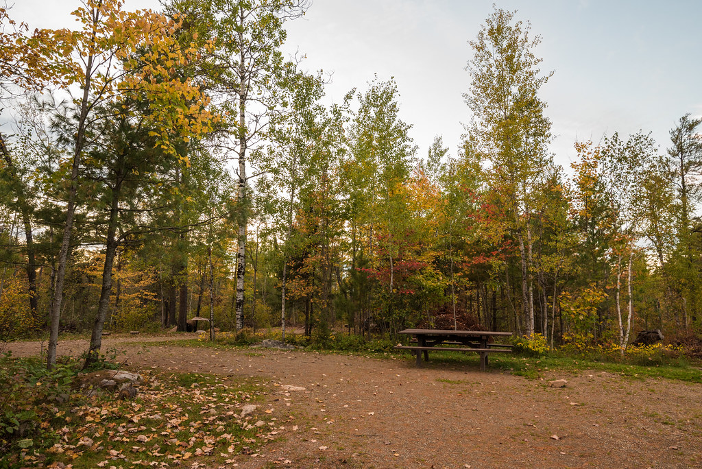 Photo: Tony Webster, CC BY-SA 2.0 (via Flickr)
- 1.3 mi
- round trip
- 270 ft
- climb
- 1,485 ft
- high point
- Out and back
- route
- Aug–Sep
- best months
Is NORTH JUNCTION-SOUTH LOOP open right now?
Closure in the area
There's a closure order in Superior National Forest. It doesn't name NORTH JUNCTION-SOUTH LOOP, so check the source for the area it covers.
Post Wildfire Closures, Effective October 1, 2026
Agency closure covering Superior National Forest · Order 09-09-00-26-11 · USFS · Superior National Forest
Forest Road Improvement Projects
Agency alert covering Superior National Forest · USFS · Superior National Forest
As of · Source: USFS · Superior National Forest. Agencies don't list every closure — check before you go.
North Junction-South Out-and-back is a 2.6-mile out-and-back trail in Minnesota with 270 feet of elevation gain and loss. The trail reaches a maximum elevation of 1,485 feet.
Local outfitters
Not on Roamze yet. Their page has how to reach them.
- Fenske CampgroundHiking · ~2 min drivePhoto: Tony Webster, CC BY-SA 2.0 (via Flickr)
 Dry LakeHiking · ~8 min drivePhoto: Abnormally Weird, CC BY 2.0 (via Flickr)
 Bass LakeHiking · ~8 min drivePhoto: USDAgov, Public Domain Mark (via Flickr)
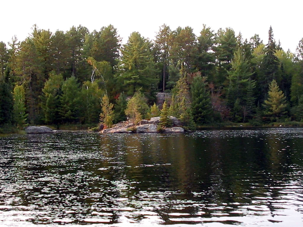 Everett-FenskiHiking · ~2 min drivePhoto: Joe Passe, CC BY-SA 2.0 (via Flickr)
- Troll's WayHiking · ~5 min drive
- Northwest PassageHiking · ~2 min drive
- BASS LAKE TRAILHiking · ~8 min drivePhoto: USDAgov, Public Domain Mark (via Flickr)
- NORTH ARM TRAILHiking · ~5 min drive
- SLIM LAKE LOOPHiking · ~5 min drive
- HoboHiking · ~9 min drivePhoto: USDAgov, Public Domain Mark (via Flickr)
Best time to visit NORTH JUNCTION-SOUTH LOOP
Best months: August–September. Best months have typical highs of 55–85 °F, lows of 30 °F or warmer (32 °F where the station doesn't record snow), at most one snowy day and no more than 12 wet days.
Jan
15° / -7°
11 wet
Feb
23° / -5°
9 wet
Mar
36° / 10°
9 wet
Apr
51° / 25°
10 wet
May
65° / 38°
13 wet
Jun
75° / 49°
14 wet
Jul
79° / 53°
13 wet
Aug
78° / 52°
12 wet
Sep
68° / 44°
12 wet
Oct
52° / 32°
14 wet
Nov
34° / 19°
11 wet
Dec
21° / 3°
11 wet
Typical high / low (°F) and days with rain or snow, 1991–2020. Measured at Ely, MN, 6.5 mi away at 1,382 ft. This station doesn't record snowfall. Source: NOAA NCEI U.S. Climate Normals 1991–2020.
Closures we've recorded since August 2026
Forest-wide Fire Restrictions
Superior National Forest · Order dated July 12, 2026; seen Aug 23, 2026 → lifted Aug 25, 2026 · Forest Service
