White Pines Camp Stie
- May–Sep
- best months
- At 1,321 ft
- Lester River State Aquatic Management Area (St. Louis)
White Pines Camp Stie is a campground in Minnesota at about 1,321 feet. It is managed by the state fish and wildlife agency.
- The Fox's DenRock climbing4.6 mi
- Upper WallRock climbing4.6 mi
- South Hartley RiversideRock climbing4.6 mi
- Moose Mtn Scientific and Natural Area TrailHiking5.2 mi
- Ski TrailCross-country skiing5.2 mi
- North Shore Drive Wayside Rest / 72nd Avenue East BeachBeach6.8 mi
- Lakewood Pump Station BeachBeach7 mi
- Bagley Nature AreaState park7.5 mi
Source: Roamze catalog (indexable pages within 10 miles, PostGIS distance)
- Whiteface ReservoirCamping · ~48 min drive
- Bald Eagle Camp siteCamping · ~2 min drive
- Lone TreeCamping · ~6 min drive
- Heron PondCamping · ~10 min drive
- Bagley CampgroundCamping · ~13 min drive
- Sucker River CampsiteCamping · ~14 min drive
- Fox Farm Beaver Pound CampsiteCamping · ~17 min drive
- Buzz Ryan CampsitesCamping · ~19 min drive
- Knife River CampgroundCamping · ~23 min drive
- Big BendCamping · ~25 min drive
Also worth it near here
- The Fox's DenRock climbing · ~8 min drive
- Ski TrailCross-country skiing · ~9 min drive
- Lester River Trail / Duluth TraverseMountain biking · ~9 min drive
- Duluth Cross City East Snowmobile TrailSki touring · ~9 min drive
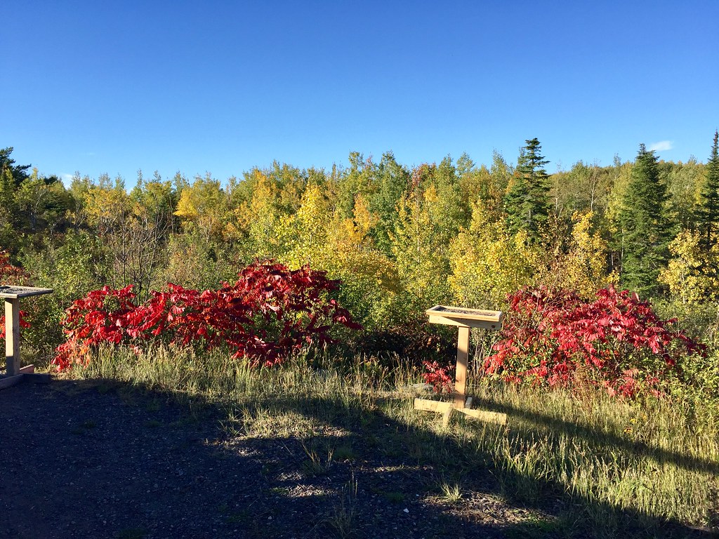 Hawk Ridge TrailsHiking · ~10 min drivePhoto: Minnesota Denizen, CC BY 2.0 (via Flickr)
Best time to visit White Pines Camp Stie
Best months: May–September. Best months have typical highs of 55–85 °F, lows of 30 °F or warmer (32 °F where the station doesn't record snow), at most one snowy day and no more than 12 wet days.
Jan
17° / -2°
Feb
23° / 1°
Mar
36° / 15°
Apr
48° / 28°
May
63° / 40°
Jun
72° / 50°
Jul
76° / 55°
Aug
75° / 54°
Sep
66° / 46°
Oct
51° / 34°
Nov
35° / 21°
Dec
23° / 7°
Typical high / low (°F) and days with rain or snow, 1991–2020. Measured at Island Lake 4e, MN, 6.4 mi away at 1,410 ft. This station doesn't record snowfall. Source: NOAA NCEI U.S. Climate Normals 1991–2020.
Map and trail data © OpenStreetMap contributors
