Temperance River Group Site
- May–Sep
- best months
Is Temperance River Group Site open right now?
Closure in the area
There's a closure order in Superior National Forest. It doesn't name Temperance River Group Site, so check the source for the area it covers.
Post Wildfire Closures, Effective October 1, 2026
Agency closure covering Superior National Forest · Order 09-09-00-26-11 · USFS · Superior National Forest
Forest Road Improvement Projects
Agency alert covering Superior National Forest · USFS · Superior National Forest
As of · Source: USFS · Superior National Forest. Agencies don't list every closure — check before you go.
- At 1,251 ft
- Tofte Ranger DistrictSuperior National Forest
TEMPERANCE RIVER GROUP SITE (Camping Area)
Local outfitters
- Sawtooth Outfitters5 mi away
- Sawbill Canoe Outfitters15 mi away
Not on Roamze yet. Their page has how to reach them.
- SUGARBUSH MAPLE LOOPHiking0.8 mi
- SUGARBUSH UPLAND LOOPHiking1.5 mi
 Temperance RiverCanoeingPhoto: Rufus Sarsaparilla at en.wikipedia, Public domain (via Wikimedia Commons)1.7 mi
- Oberg MountainSummit3.4 mi
- Temperance River SP (North Shore)Rock climbing4 mi
- Temperance River CampgroundCamping5.5 mi
- Hidden FallsWaterfall6 mi
- Temperance River State ParkState parkPhoto: Rufus Sarsaparilla at en.wikipedia, Public domain (via Wikimedia Commons)6.8 mi
Source: Roamze catalog (indexable pages within 10 miles, PostGIS distance)
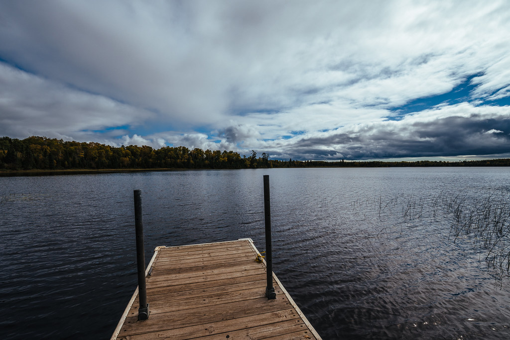 Fourmile Lake CampgroundCamping · ~12 min drivePhoto: Tony Webster — CC BY-SA 2.0 (via Flickr)
- Oxbow Dispersed Campsites (3)Camping · Next door
- Sht- West LeveauxCamping · ~4 min drive
- West Leveaux PondCamping · ~4 min drive
- Sht- East LeveauxCamping · ~4 min drive
- East Leveaux PondCamping · ~4 min drive
- Sht- Springdale CreekCamping · ~5 min drive
- Onion RiverCamping · ~5 min drive
- Sht- Onion RiverCamping · ~5 min drive
- Sht- West Rollins CreekCamping · ~7 min drive
Also worth it near here
- Sugarbush Maple LoopCross-country skiing · ~1 min drive
- Temperance RiverCanoeing · ~3 min drivePhoto: Rufus Sarsaparilla at en.wikipedia, Public domain (via Wikimedia Commons)
- Flume BikeMountain biking · ~5 min drive
 SUGARBUSH OBERG LAKE LOOPHiking · ~5 min drivePhoto: Tony Webster, CC BY-SA 2.0 (via Flickr)
Best time to visit Temperance River Group Site
Best months: May–September. Best months have typical highs of 55–85 °F, lows of 30 °F or warmer (32 °F where the station doesn't record snow), at most one snowy day and no more than 12 wet days.
Jan
17° / -3°
Feb
21° / -1°
Mar
33° / 11°
Apr
44° / 24°
May
58° / 38°
Jun
66° / 48°
Jul
73° / 54°
Aug
71° / 52°
Sep
62° / 44°
Oct
49° / 33°
Nov
34° / 20°
Dec
22° / 7°
Typical high / low (°F) and days with rain or snow, 1991–2020. Measured at Lutsen 3nne, MN, 9.3 mi away at 1,300 ft. This station doesn't record snowfall. Source: NOAA NCEI U.S. Climate Normals 1991–2020.
Closures we've recorded since August 2026
Forest-wide Fire Restrictions
Superior National Forest · Order dated July 12, 2026; seen Aug 23, 2026 → lifted Aug 25, 2026 · Forest Service
