
Temperance River State Park
About
Temperance River State Park is a Minnesota state park managed by State Park and Recreation, about 13 miles from the town of Lutsen. It sits within the Tofte Ranger District of Superior National Forest, so the surrounding land is a mix of state park and national forest. Summer is the most comfortable time to visit. Typical July highs reach about 73°F with lows near 54°F, based on averages from a nearby weather station in Lutsen. Winters are severe, with January highs around 17°F. Several climbing areas lie close by, including Carlton Boulder and Temperance River SP (North Shore), both about 3 miles away. The Summit View hike and Sugarbush- Summit View cross-country ski route are each about 3.5 miles off. For an overnight stay, Ninemile Lake Campground is roughly 8 miles away.
Park size
1,117 acres
Inside this park
Location
Temperance River State Park
Minnesota
Data source: USGS PAD-US 4.1 (Protected Areas Database, public domain)
Facts about this place
When to go
Best time to go: Jun–Sep. The mildest months here, with typical highs of 62–73°F and lows of 44–54°F.
Typical monthly averages (not a forecast) from the Lutsen 3nne, MN weather station, 15 mi away. High / low in °F.
- Jan17° high-3° low
- Feb21° high-1° low
- Mar33° high11° low
- Apr44° high24° low
- May58° high38° low
- Jun66° high48° low
- Jul73° high54° low
- Aug71° high52° low
- Sep62° high44° low
- Oct49° high33° low
- Nov34° high20° low
- Dec22° high7° low
Where it is
- Tofte Ranger District · Ranger district
- Temperance River State Park · State park
- Superior National Forest · National forest
- Nearest town
- Lutsen, Minnesota · 13 mi
- Managed by
- State Park and Recreation
Source: USFS EDW boundaries; USGS PAD-US 4.1; USGS GNIS populated places
Conditions
Active alerts for Tofte Ranger District as of Oct 9, 2026:
Closure Order for Cook County Brush Disposal Site
critical · posted Aug 24, 2026
Source: USFS forest alerts
Nearby
- Carlton BoulderRock climbing3 mi
- Temperance River SP (North Shore)Rock climbing3.1 mi
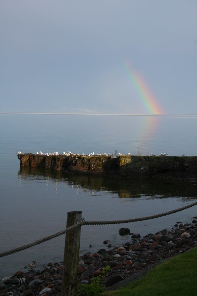 SUMMIT VIEWHikingPhoto: Mulad, CC BY 2.0 (via Flickr)3.5 mi
- Sugarbush- Summit ViewCross-country skiing3.5 mi
- Short Stacker BikeHiking3.9 mi
- Ninemile Lake CampgroundCamping8.1 mi
- Temperance RiverCanoeingPhoto: Rufus Sarsaparilla at en.wikipedia, Public domain (via Wikimedia Commons)8.1 mi
- Thunderbird LakeLake fishing9.2 mi
Source: Roamze catalog (indexable pages within 10 miles, PostGIS distance)
Is Temperance River State Park open right now?
Closure in the area
There's a closure order in Superior National Forest. It doesn't name Temperance River State Park, so check the source for the area it covers.
Post Wildfire Closures, Effective October 1, 2026
Agency closure covering Superior National Forest · Order 09-09-00-26-11 · USFS · Superior National Forest
Forest Road Improvement Projects
Agency alert covering Superior National Forest · USFS · Superior National Forest
As of · Source: USFS · Superior National Forest. Agencies don't list every closure — check before you go.
Best time to visit Temperance River State Park
Best months: May–September. Best months have typical highs of 55–85 °F, lows of 30 °F or warmer (32 °F where the station doesn't record snow), at most one snowy day and no more than 12 wet days.
Jan
17° / -3°
Feb
21° / -1°
Mar
33° / 11°
Apr
44° / 24°
May
58° / 38°
Jun
66° / 48°
Jul
73° / 54°
Aug
71° / 52°
Sep
62° / 44°
Oct
49° / 33°
Nov
34° / 20°
Dec
22° / 7°
Typical high / low (°F) and days with rain or snow, 1991–2020. Measured at Lutsen 3nne, MN, 15.1 mi away at 1,300 ft. We don't have this place's elevation, so higher spots nearby can run cooler. This station doesn't record snowfall. Source: NOAA NCEI U.S. Climate Normals 1991–2020.
Closures we've recorded since August 2026
Forest-wide Fire Restrictions
Superior National Forest · Order dated July 12, 2026; seen Aug 23, 2026 → lifted Aug 25, 2026 · Forest Service
