North Little Brule River
- 5
- sites
- Free
- fee
- Jun–Sep
- best months
Caution at last check
Agency alerts are in effect for this area; weather is good · USFS, OpenWeather · checked 12 h ago
Is North Little Brule River open right now?
Closure in the area
There's a closure order in Superior National Forest. It doesn't name North Little Brule River, so check the source for the area it covers.
Post Wildfire Closures, Effective October 1, 2026
Agency closure covering Superior National Forest · Order 09-09-00-26-11 · USFS · Superior National Forest
Forest Road Improvement Projects
Agency alert covering Superior National Forest · USFS · Superior National Forest
As of · Source: USFS · Superior National Forest. Agencies don't list every closure — check before you go.
- 5 sites
- At 885 ft
- Gunflint Ranger DistrictSuperior National Forest · East Colvill State Wildlife Management Area
North Little Brule River is a campground in Minnesota at about 885 feet, with 5 sites. It is managed by the state fish and wildlife agency.
Local outfitters
- Hungry Jack Outfitters23 mi away
- NorWester Lodge and Canoe Outfitters25 mi away
Not on Roamze yet. Their page has how to reach them.
- Paradise BeachBeach1.1 mi
- Colville Creek BeachBeach1.5 mi
- Judge C.R. Magney State Park West BeachBeach1.7 mi
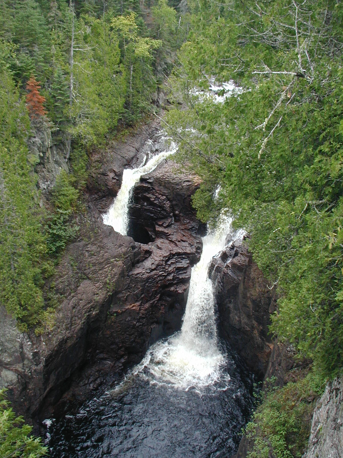 Judge C. R. Magney State ParkState parkPhoto: Chris857, CC BY-SA 3.0 (via Wikimedia Commons)2.4 mi
- Kodonce River State WaysideState park3.3 mi
- DOGSLED TRAIL SPUR BHiking3.9 mi
- Kadunce Hunter Walking DHiking3.9 mi
- Kimball Lake CampgroundCamping7 mi
Source: Roamze catalog (indexable pages within 10 miles, PostGIS distance)
- Northwest Little Brule RiverCamping · Next door
- Sht- Northwest Little Brule RiverCamping · Next door
- Sht- South Little Brule RiverCamping · Next door
- South Little Brule RiverCamping · Next door
- Judge CR Magney State ParkCamping · ~3 min drive
- Kadunce RiverCamping · ~6 min drive
- Sht- Kadunce RiverCamping · ~6 min drive
- West Fork of the Kadunce RiverCamping · ~6 min drive
- Crow CreekCamping · ~6 min drive
- Sht- Crow CreekCamping · ~6 min drive
Best time to visit North Little Brule River
Best months: June–September. Best months have typical highs of 55–85 °F, lows of 30 °F or warmer (32 °F where the station doesn't record snow), at most one snowy day and no more than 12 wet days.
Jan
21° / 6°
7 wet
Feb
25° / 8°
5 wet
Mar
33° / 18°
6 wet
Apr
44° / 29°
7 wet
May
53° / 37°
9 wet
Jun
61° / 44°
10 wet
Jul
69° / 52°
10 wet
Aug
69° / 54°
9 wet
Sep
62° / 47°
10 wet
Oct
50° / 36°
9 wet
Nov
37° / 24°
7 wet
Dec
26° / 13°
7 wet
Typical high / low (°F) and days with rain or snow, 1991–2020. Measured at Grand Marais, MN, 12.1 mi away at 612 ft. This station doesn't record snowfall. Source: NOAA NCEI U.S. Climate Normals 1991–2020.
Closures we've recorded since August 2026
Forest-wide Fire Restrictions
Superior National Forest · Order dated July 12, 2026; seen Aug 23, 2026 → lifted Aug 25, 2026 · Forest Service
Map and trail data © OpenStreetMap contributors
