Carley State Park
- 20
- sites
- Yes
- fee
- Apr–Oct
- best months
- 20 sites for tent camping
- At 1,036 ft
- Carley State Park
Carley State Park is a campground in Minnesota at about 1,036 feet, with 20 sites. It is managed by the state park agency.
- North Fork Whitewater RiverCanoeing1.1 mi
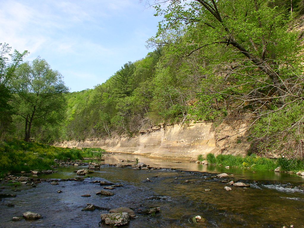 Whitewater State ParkState parkPhoto: McGhiever, CC BY-SA 3.0 (via Wikimedia Commons)7 mi
Source: Roamze catalog (indexable pages within 10 miles, PostGIS distance)
- Group Site 1 (GRP1)Camping · Next door
- Group Site 2 (GRP2)Camping · Next door
- Group CenterCamping · ~13 min drive
- LazyD CampgroundCamping · ~13 min drive
- Chester Woods CampgroundCamping · ~19 min drive
- Chester Woods County Park CampgroundCamping · ~19 min drive
- Zumbro Bottoms Horse Campground - CentralCamping · ~22 min drive
- Richard J. Dorer SF -Zumbro Bottom Horse Camp WestCamping · ~24 min drive
- Richard J. Dorer SF -Zumbro Bottom Horse Camp NorthCamping · ~24 min drive
- KOA Kampground - Rochester/MarionCamping · ~25 min drive
Best time to visit Carley State Park
Best months: April–October. Best months have typical highs of 55–85 °F, lows of 30 °F or warmer (32 °F where the station doesn't record snow), at most one snowy day and no more than 12 wet days.
Jan
24° / 4°
6 wet
Feb
30° / 8°
6 wet
Mar
42° / 21°
7 wet
Apr
57° / 33°
9 wet
May
69° / 45°
10 wet
Jun
79° / 57°
11 wet
Jul
83° / 60°
9 wet
Aug
81° / 58°
8 wet
Sep
74° / 49°
8 wet
Oct
60° / 36°
7 wet
Nov
43° / 24°
6 wet
Dec
30° / 13°
7 wet
Typical high / low (°F) and days with rain or snow, 1991–2020. Measured at Theilman 1ssw, MN, 11.3 mi away at 753 ft. This station doesn't record snowfall. Source: NOAA NCEI U.S. Climate Normals 1991–2020.

Map and trail data © OpenStreetMap contributors
