Valley Spur Bike Loop 1, 3, 4 (W)
- 0.3 mi
- round trip
- 23 ft
- climb
- 1,022 ft
- high point
- Out and back
- route
- May–Aug
- best months
Caution today
Agency alerts are in effect for this area; weather is marginal · USFS, OpenWeather · checked 6 h ago
Is Valley Spur Bike Loop 1, 3, 4 (W) open right now?
Closure in the area
There's a closure order in Hiawatha National Forest. It doesn't name Valley Spur Bike Loop 1, 3, 4 (W), so check the source for the area it covers (2 listed).
Brevoort Lake Autumn Drawdown
Agency closure covering Hiawatha National Forest · USFS · Hiawatha National Forest
Haymeadow Trail and Bridge Closed
Agency closure covering Hiawatha National Forest · USFS · Hiawatha National Forest
Restricting Public Entry to Stonington Quarry
Agency alert covering Hiawatha National Forest · USFS · Hiawatha National Forest
As of · Source: USFS · Hiawatha National Forest. Agencies don't list every closure — check before you go.
Valley Spur Bike Loop 1, 3, 4 (W) is a short, flat cross-country ski route in the Munising Ranger District of Hiawatha National Forest in Michigan. The Forest Service manages the surrounding land, and the trail's one-way elevation gain is only 10 feet, making it an easy outing for skiers looking for a short run on a single loop. The route is an out-and-back, roughly 0.6 miles long, with a high point of about 1,022 feet and a low of about 1,010 feet. It sits within the larger Valley Spur network, and several other ski routes and trails lie within a short distance, including Valley Spur (V) and Valley Spur Bike Loop 3 & 4 (W) to the west. Winter is the natural season for cross-country skiing here. Typical averages from the nearby Munising weather station show January highs around 23°F and lows near 11°F. The station sits lower than the trail, so temperatures on the route may run slightly cooler. Hovey Lake Campsites is about 4 miles away for an overnight stay, and Coalwood Grade ATV, a hike, is about 0.6 miles off.
- Valley Spur Bike Loops 1, 3, 4 (W)Cross-country skiing0.3 mi
- Valley Spur (V)Cross-country skiing0.5 mi
- Valley Spur Bike Loop 3 & 4 (W)Cross-country skiing0.6 mi
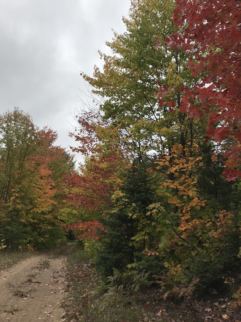 Coalwood Grade ATVHikingPhoto: usfs_Eastern_Region, Public Domain Mark (via Flickr)0.6 mi
- Hovey Lake CampsitesCamping3.9 mi
- Munising Ranger DistrictLake fishing5.7 mi
 Island LakeCampingPhoto: Recreation.gov (RIDB) / public domain6 mi
 Au Train Lake CampgroundCampingPhoto: Recreation.gov (RIDB) / public domain6.5 mi
Source: Roamze catalog (indexable pages within 10 miles, PostGIS distance)
- Mckeever Hills SkiCross-country skiing · ~17 min drive
- Valley Spur Bike Loops 1, 3, 4 (W)Cross-country skiing · Next door
- Valley Spur Loops 1 & 3 (D)Cross-country skiing · ~2 min drive
- Valley Spur (G)Cross-country skiing · ~2 min drive
- Mckeever Hills SkiCross-country skiing · ~18 min drive
- Valley Spur (V)Cross-country skiing · Next door
- Valley Spur (D)Cross-country skiing · ~2 min drive
- Valley Spur Bike Loop 1 & 4 (G)Cross-country skiing · ~2 min drive
- Mckeever Hills SkiCross-country skiing · ~18 min drive
- Valley Spur Bike Loop 3 & 4 (W)Cross-country skiing · Next door
Also worth it near here
- Coalwood Grade ATVHiking · ~1 min drivePhoto: usfs_Eastern_Region, Public Domain Mark (via Flickr)
- Valley Spur Bike - Just BeechyMountain biking · ~2 min drive
- Ackerman Lake Boat LaunchBoat launch · ~7 min drive
 Wagner FallsWaterfall · ~8 min drivePhoto: Two Hearted River, CC BY-SA 3.0 (via Wikimedia Commons)
- Ready LakeLake fishing · ~10 min drive
Best time to visit Valley Spur Bike Loop 1, 3, 4 (W)
Best months: May–August. Best months have typical highs of 55–85 °F, lows of 30 °F or warmer (32 °F where the station doesn't record snow), at most one snowy day and no more than 12 wet days.
Jan
23° / 11°
21 wet
Feb
25° / 11°
17 wet
Mar
33° / 19°
13 wet
Apr
45° / 28°
11 wet
May
59° / 39°
12 wet
Jun
68° / 49°
12 wet
Jul
73° / 55°
12 wet
Aug
72° / 55°
11 wet
Sep
65° / 49°
14 wet
Oct
52° / 38°
17 wet
Nov
39° / 27°
17 wet
Dec
29° / 18°
19 wet
Typical high / low (°F) and days with rain or snow, 1991–2020. Measured at Munising, MI, 5.5 mi away at 680 ft. This station doesn't record snowfall. Source: NOAA NCEI U.S. Climate Normals 1991–2020.
Map and trail data © OpenStreetMap contributors
