Valley Spur Bike Loop 1 & 4 (G)
- 0.4 mi
- round trip
- 38 ft
- climb
- 1,036 ft
- high point
- Out and back
- route
- May–Aug
- best months
Is Valley Spur Bike Loop 1 & 4 (G) open right now?
Closure in the area
There's a closure order in Hiawatha National Forest. It doesn't name Valley Spur Bike Loop 1 & 4 (G), so check the source for the area it covers (2 listed).
Brevoort Lake Autumn Drawdown
Agency closure covering Hiawatha National Forest · USFS · Hiawatha National Forest
Haymeadow Trail and Bridge Closed
Agency closure covering Hiawatha National Forest · USFS · Hiawatha National Forest
Restricting Public Entry to Stonington Quarry
Agency alert covering Hiawatha National Forest · USFS · Hiawatha National Forest
As of · Source: USFS · Hiawatha National Forest. Agencies don't list every closure — check before you go.
Valley Spur Bike Loop 1 & 4 (G) is a short, out-and-back cross-country ski route in Michigan's Hiawatha National Forest, within the Munising Ranger District. The Forest Service manages the land, and the route is about 0.7 miles long, with a total elevation gain of 38 feet. It is a hard route, and the climb is front-loaded, with the steepest stretch at about 0.12 miles from the start. The route sits at a high point of 1,036 feet, with the start at 1,023 feet and the low point at 994 feet. The climb is steep at the beginning, with a grade of about 6 percent, and the route is short enough to fit into a longer day of skiing in the area. Winter is the natural season for this route. Typical averages from a nearby weather station in Munising show January highs around 23°F with lows near 11°F, while July highs reach about 73°F. That station sits roughly 350 feet lower than the route, so temperatures on the trail run a little cooler. Valley Spur Bike Loop 1 & 4 (Y) is just 0.1 mile away, and Valley Spur (G) and Valley Spur (D) are each about 0.3 mile off. For an overnight stay, Hovey Lake Campsites is about 4.8 miles away.
- Valley Spur Bike Loop 1 & 4 (Y)Cross-country skiing0.1 mi
- Valley Spur (G)Cross-country skiing0.3 mi
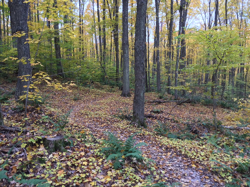 VALLEY SPUR SKI LOOP YHikingPhoto: usfs_Eastern_Region, Public Domain Mark (via Flickr)0.3 mi
- Valley Spur (D)Cross-country skiing0.3 mi
- Munising Ranger DistrictLake fishing4.3 mi
- Hovey Lake CampsitesCamping4.8 mi
 Bay Furnace CampgroundCampingPhoto: Recreation.gov (RIDB) / public domain5.6 mi
 Island LakeCampingPhoto: Recreation.gov (RIDB) / public domain6.4 mi
Source: Roamze catalog (indexable pages within 10 miles, PostGIS distance)
- Mckeever Hills SkiCross-country skiing · ~17 min drive
- Valley Spur Bike Loop 1 & 4 (Y)Cross-country skiing · Next door
- Valley Spur (D)Cross-country skiing · Next door
- Valley Spur (G)Cross-country skiing · Next door
- Mckeever Hills SkiCross-country skiing · ~19 min drive
- Valley Spur (Y)Cross-country skiing · Next door
- Valley Spur Bike Loops 1 & 4 (D)Cross-country skiing · Next door
- Valley Spur (I)Cross-country skiing · ~1 min drive
- Mckeever Hills SkiCross-country skiing · ~19 min drive
- Valley Spur Bike Route 4 (X)Cross-country skiing · Next door
Also worth it near here
- VALLEY SPUR SKI LOOP YHiking · Next doorPhoto: usfs_Eastern_Region, Public Domain Mark (via Flickr)
- Valley Spur-Hemlock ValleyMountain biking · ~1 min drive
 Wagner FallsWaterfall · ~6 min drivePhoto: Two Hearted River, CC BY-SA 3.0 (via Wikimedia Commons)
- Munising Ranger DistrictLake fishing · ~7 min drive
Best time to visit Valley Spur Bike Loop 1 & 4 (G)
Best months: May–August. Best months have typical highs of 55–85 °F, lows of 30 °F or warmer (32 °F where the station doesn't record snow), at most one snowy day and no more than 12 wet days.
Jan
23° / 11°
21 wet
Feb
25° / 11°
17 wet
Mar
33° / 19°
13 wet
Apr
45° / 28°
11 wet
May
59° / 39°
12 wet
Jun
68° / 49°
12 wet
Jul
73° / 55°
12 wet
Aug
72° / 55°
11 wet
Sep
65° / 49°
14 wet
Oct
52° / 38°
17 wet
Nov
39° / 27°
17 wet
Dec
29° / 18°
19 wet
Typical high / low (°F) and days with rain or snow, 1991–2020. Measured at Munising, MI, 4.2 mi away at 680 ft. This station doesn't record snowfall. Source: NOAA NCEI U.S. Climate Normals 1991–2020.
Map and trail data © OpenStreetMap contributors
