Gooseneck Lake Boat Launch
About
Gooseneck Lake Boat Launch is a boat launch in the Manistique Ranger District of Hiawatha National Forest in Michigan, about 16 miles from the town of Manistique. Summer is the most comfortable time to get on the water. Typical July highs reach about 78°F with lows near 54°F, based on averages from a nearby weather station at Garden Corners. Winters are cold, with January highs around 26°F. Several campgrounds sit close by. Lyman Lake Camping Area is about 0.3 miles away, and Gooseneck Lake Camping Area and Gooseneck Lake Campsites are each about 0.4 miles off. For fishing, Carr Lake Campsites is roughly 1.7 miles away.
Location
Manistique
Michigan
Data © OpenStreetMap contributors, available under the Open Database License (ODbL). View or edit on OpenStreetMap.
Facts about this place
When to go
Best time to go: May–Sep. The mildest months here, with typical highs of 62–78°F and lows of 40–54°F.
Typical monthly averages (not a forecast) from the Garden Corners, MI weather station, 12 mi away. High / low in °F.
- Jan26° high8° low
- Feb28° high7° low
- Mar36° high13° low
- Apr48° high28° low
- May62° high40° low
- Jun72° high50° low
- Jul78° high54° low
- Aug77° high50° low
- Sep69° high44° low
- Oct55° high35° low
- Nov41° high27° low
- Dec31° high16° low
Where it is
- Manistique Ranger District · Ranger district
- Hiawatha National Forest · National forest
- Nearest town
- Manistique, Michigan · 16 mi
Conditions
Active alerts for Hiawatha National Forest as of Oct 9, 2026:
Restricting Public Entry to Stonington Quarry
caution · posted Oct 8, 2026
critical · posted Oct 8, 2026
Restrictions on the use of fireworks
information · posted Aug 24, 2026
Firewood Restrictions on the Hiawatha and Ottawa National Forests
information · posted Aug 24, 2026
Drug and Alcohol Use on the Hiawatha National Forest
information · posted Aug 24, 2026
Restrictions on entry to any beach posted closed
information · posted Aug 24, 2026
Occupancy and use of Lake Superior Shoreline
information · posted Aug 24, 2026
Occupancy and use of Big Island Lake Wilderness
information · posted Aug 24, 2026
information · posted Aug 24, 2026
Restricting the use of Raco Airfield
information · posted Aug 24, 2026
Source: USFS forest alerts
Nearby
- Lyman Lake Camping AreaCamping0.3 mi
- Gooseneck Lake Camping AreaCamping0.4 mi
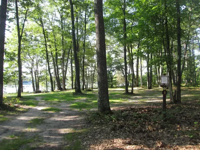 Gooseneck Lake CampsitesCampingPhoto: Recreation.gov (RIDB) / public domain0.4 mi
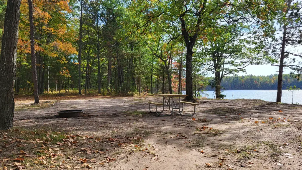 Lyman Lake CampsitesPier fishingPhoto: Recreation.gov (RIDB) / public domain0.6 mi
- Jackpine Lake CampsitesPier fishing1.2 mi
- Carr Lake CampsitesLake fishing1.7 mi
- 440 TRAILHEADHiking4.3 mi
- Indian River Canoe RouteHiking6.5 mi
Source: Roamze catalog (indexable pages within 10 miles, PostGIS distance)
Is Gooseneck Lake Boat Launch open right now?
Closure in the area
There's a closure order in Hiawatha National Forest. It doesn't name Gooseneck Lake Boat Launch, so check the source for the area it covers (2 listed).
Brevoort Lake Autumn Drawdown
Agency closure covering Hiawatha National Forest · USFS · Hiawatha National Forest
Haymeadow Trail and Bridge Closed
Agency closure covering Hiawatha National Forest · USFS · Hiawatha National Forest
Restricting Public Entry to Stonington Quarry
Agency alert covering Hiawatha National Forest · USFS · Hiawatha National Forest
As of · Source: USFS · Hiawatha National Forest. Agencies don't list every closure — check before you go.
Best time to visit Gooseneck Lake Boat Launch
Best months: June–September. Best months have typical highs of 55–85 °F, lows of 30 °F or warmer (32 °F where the station doesn't record snow), at most one snowy day and no more than 12 wet days.
Jan
26° / 8°
13 wet
Feb
28° / 7°
11 wet
Mar
36° / 13°
11 wet
Apr
48° / 28°
12 wet
May
62° / 40°
13 wet
Jun
72° / 50°
11 wet
Jul
78° / 54°
11 wet
Aug
77° / 50°
12 wet
Sep
69° / 44°
12 wet
Oct
55° / 35°
15 wet
Nov
41° / 27°
13 wet
Dec
31° / 16°
13 wet
Typical high / low (°F) and days with rain or snow, 1991–2020. Measured at Garden Corners, MI, 11.8 mi away at 587 ft. This station doesn't record snowfall. Source: NOAA NCEI U.S. Climate Normals 1991–2020.
Map and trail data © OpenStreetMap contributors
