440 Trailhead
- 2.1 mi
- round trip
- 331 ft
- climb
- 872 ft
- high point
- Out and back
- route
- Jun–Sep
- best months
Caution at last check
Agency alerts are in effect for this area; weather is good · USFS, OpenWeather · checked 22 h ago
Is 440 TRAILHEAD open right now?
Closure in the area
There's a closure order in Hiawatha National Forest. It doesn't name 440 TRAILHEAD, so check the source for the area it covers (2 listed).
Brevoort Lake Autumn Drawdown
Agency closure covering Hiawatha National Forest · USFS · Hiawatha National Forest
Haymeadow Trail and Bridge Closed
Agency closure covering Hiawatha National Forest · USFS · Hiawatha National Forest
Restricting Public Entry to Stonington Quarry
Agency alert covering Hiawatha National Forest · USFS · Hiawatha National Forest
As of · Source: USFS · Hiawatha National Forest. Agencies don't list every closure — check before you go.
The 440 Trailhead is an easy, out-and-back hike of about 4.2 miles in the Manistique Ranger District of Hiawatha National Forest in Michigan. The trail climbs to a high point of 872 feet from a starting elevation of 807 feet, with a total elevation gain of 331 feet for the round trip. The steepest stretch comes at about 1.5 miles in, with a grade of about 5 percent. Summer is the most comfortable time to go. Typical averages from the Garden Corners weather station, about 16 miles away, put July highs near 78°F with lows around 54°F, while winter highs stay in the 20s. The trip takes about 1.5 hours. Mowe Lake Camping Area and Mowe Lake Campsites, a fishing area, are each about 1.3 to 1.4 miles away. Jackpine Lake Camping Area is about 2.1 miles off, and Pine Marten Run, another hike, is about 2.4 miles away.
- Mowe Lake Camping AreaCamping1.3 mi
 Mowe Lake CampsitesPier fishingPhoto: Recreation.gov (RIDB) / public domain1.4 mi
- Jackpine Lake Camping AreaCamping2.1 mi
 Swan Lake CampsitesPier fishingPhoto: Recreation.gov (RIDB) / public domain2.3 mi
- Pine Marten RunHiking2.4 mi
- Swan Lake Camping AreaCamping2.6 mi
 Lake Nineteen CampsitePier fishingPhoto: Recreation.gov (RIDB) / public domain2.9 mi
- Bil - Vance HikingHiking5.6 mi
Source: Roamze catalog (indexable pages within 10 miles, PostGIS distance)
 Pine Marten RunHiking · ~7 min drivePhoto: usfs_Eastern_Region, Public Domain Mark (via Flickr)
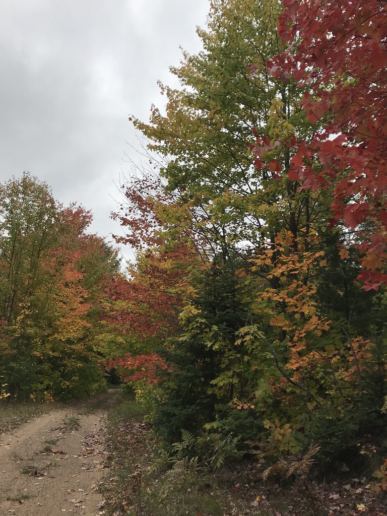 Coalwood Grade ATVHiking · ~29 min drivePhoto: usfs_Eastern_Region, Public Domain Mark (via Flickr)
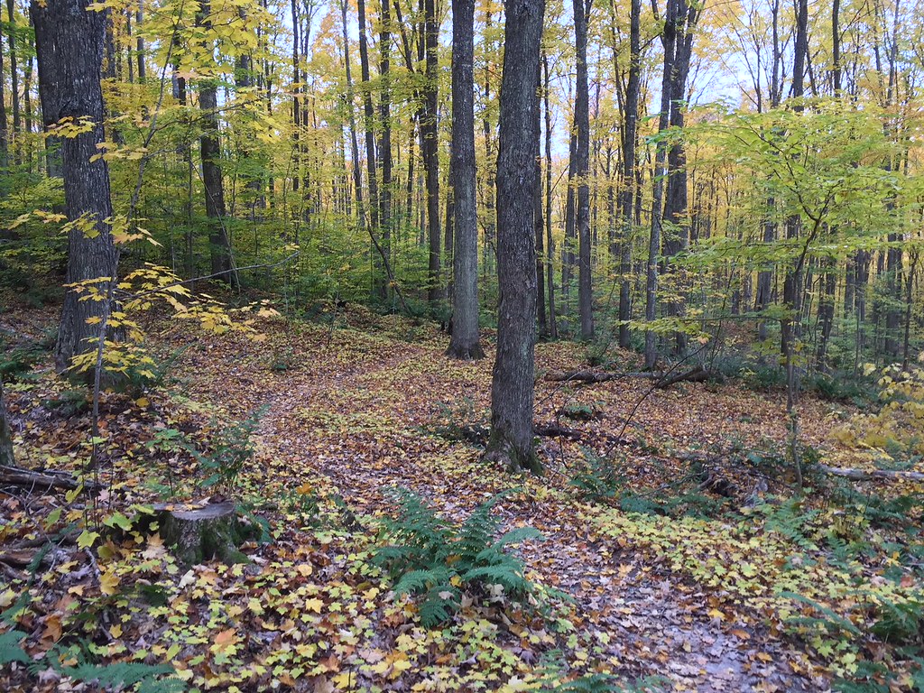 VALLEY SPUR SKI LOOP WHiking · ~29 min drivePhoto: usfs_Eastern_Region, Public Domain Mark (via Flickr)
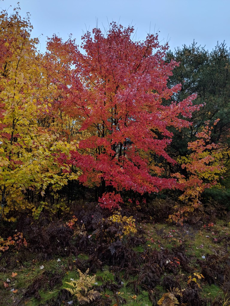 Valley Spur-Hemlock ValleyHiking · ~30 min drivePhoto: usfs_Eastern_Region, Public Domain Mark (via Flickr)
- VALLEY SPUR SKI LOOP YHiking · ~30 min drivePhoto: usfs_Eastern_Region, Public Domain Mark (via Flickr)
- VALLEY SPUR SKI LOOP G1Hiking · ~30 min drivePhoto: usfs_Eastern_Region, Public Domain Mark (via Flickr)
 Lyme TimberHiking · ~31 min drivePhoto: LadyDragonflyCC - >;<, CC BY 2.0 (via Flickr)
- Van Winkle TrailHiking · ~9 min drive
 Valley Spur-Cedar StreakHiking · ~30 min drivePhoto: usfs_Eastern_Region, Public Domain Mark (via Flickr)
 Brunos RunHiking · ~13 min drivePhoto: usfs_Eastern_Region, Public Domain Mark (via Flickr)
Best time to visit 440 TRAILHEAD
Best months: June–September. Best months have typical highs of 55–85 °F, lows of 30 °F or warmer (32 °F where the station doesn't record snow), at most one snowy day and no more than 12 wet days.
Jan
26° / 8°
13 wet
Feb
28° / 7°
11 wet
Mar
36° / 13°
11 wet
Apr
48° / 28°
12 wet
May
62° / 40°
13 wet
Jun
72° / 50°
11 wet
Jul
78° / 54°
11 wet
Aug
77° / 50°
12 wet
Sep
69° / 44°
12 wet
Oct
55° / 35°
15 wet
Nov
41° / 27°
13 wet
Dec
31° / 16°
13 wet
Typical high / low (°F) and days with rain or snow, 1991–2020. Measured at Garden Corners, MI, 16 mi away at 587 ft. This station doesn't record snowfall. Source: NOAA NCEI U.S. Climate Normals 1991–2020.
