Vaseux Lake-Moose Lake
- 0.9 mi
- round trip
- 314 ft
- climb
- 1,632 ft
- high point
- Out and back
- route
- May–Sep
- best months
Clear at last check
Weather is good · OpenWeather · checked 15 h ago
Vaseux Lake-Moose Lake is an easy, short out-and-back hike in the Boundary Waters Canoe Area Wilderness, part of Superior National Forest in northeastern Minnesota. The Forest Service manages the land, and the route is about 0.9 miles long with a total elevation gain of 314 feet, so the climb up and back is gentle. The trail is a natural-surface footpath. Bikes and horses are not allowed, and it is not an accessible trail. Summer is the most comfortable time to go. At the Grand Portage, MN weather station about 22 miles away, July typically averages highs around 74°F and lows near 52°F, and the station sits roughly 900 feet lower than the route's high point of 1,632 feet, so temperatures on the trail run cooler. The hike is open year-round, and the trip takes about half an hour. Fan Lake-Mountain Lake is less than a mile away, and the West Pike-Pine and East Pike-West Pike hikes lie about 2.6 miles off. Paddlers can find the Minnesota Mountains Route about 5 miles away.
Local outfitters
- Clearwater Historic Lodge & Canoe Outfitters12 mi away
- NorWester Lodge and Canoe Outfitters17 mi away
Not on Roamze yet. Their page has how to reach them.
- Fan Lake-Mountain LakeHiking0.7 mi
- West Pike-PineHiking2.6 mi
- East Pike-West PikeHiking2.6 mi
- John-East PikeHiking3.1 mi
- Pine Lake-Long LakeHiking3.7 mi
- Pine Lake-Gadwall LakeHiking3.9 mi
- Pine Lake-Vale LakeHiking4.3 mi
- Minnesota Mountains RouteCanoeing5.3 mi
Source: Roamze catalog (indexable pages within 10 miles, PostGIS distance)
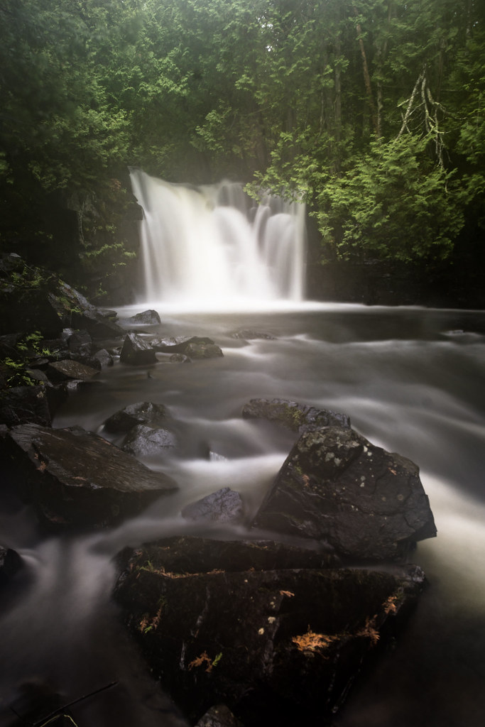 Canoe Lake-Crystal LakeHiking · ~13 min drivePhoto: AustinMatherne, CC BY 2.0 (via Flickr)
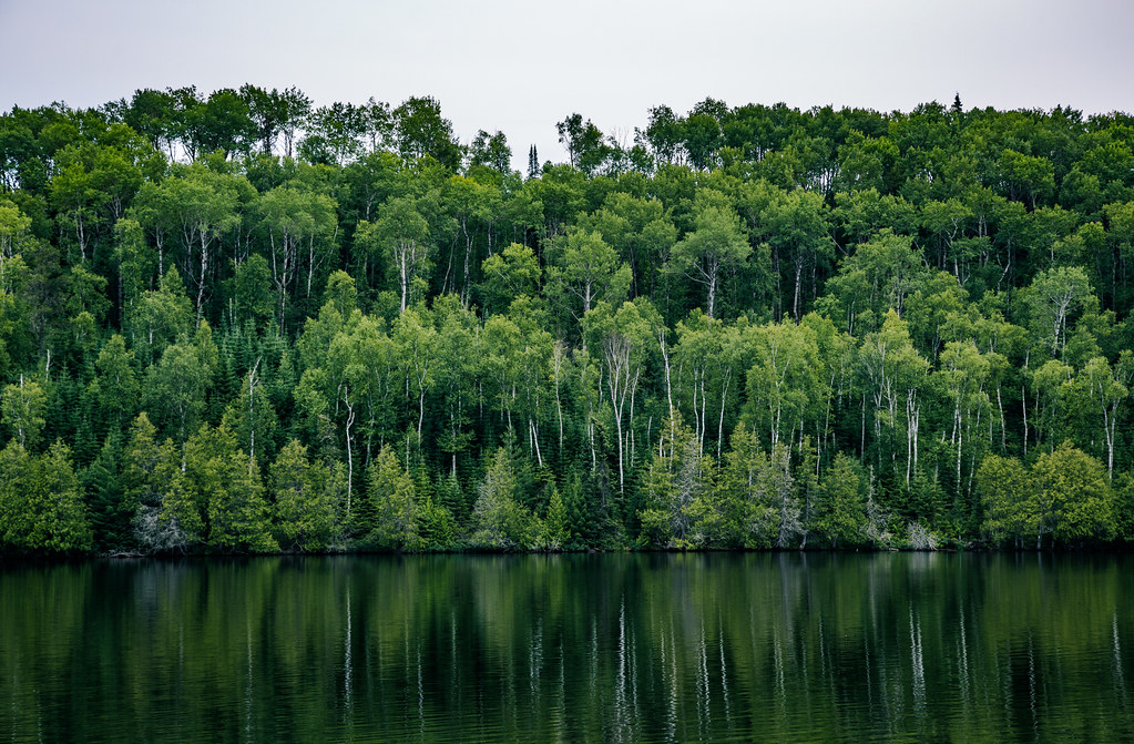 CGT-BEAVER DAM TRAIL MAIN LOOPHiking · ~22 min drivePhoto: Tony Webster, CC BY 2.0 (via Flickr)
- Border Route TrailHiking · ~20 min drive
 CGT-CROSS FOX TRAILHiking · ~21 min drivePhoto: Tony Webster, CC BY 2.0 (via Flickr)
- Rose-RoveHiking · ~21 min drive
- CGT-UPPER RIDGE RUN TRAILHiking · ~22 min drivePhoto: Tony Webster, CC BY 2.0 (via Flickr)
 CGT-RED PINE TRAILHiking · ~22 min drivePhoto: Tony Webster, CC BY-SA 2.0 (via Flickr)
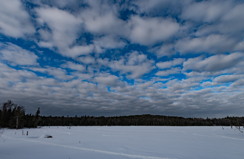 Moose Viewing PondHiking · ~22 min drivePhoto: Tony Webster, CC BY 2.0 (via Flickr)
- Pine-CanoeHiking · ~11 min drivePhoto: AustinMatherne, CC BY 2.0 (via Flickr)
- CGT-OLD LOGGING CAMP TRAIL MAIHiking · ~22 min drivePhoto: Tony Webster, CC BY 2.0 (via Flickr)
Best time to visit Vaseux Lake-Moose Lake
Best months: May–September. Best months have typical highs of 55–85 °F, lows of 30 °F or warmer (32 °F where the station doesn't record snow), at most one snowy day and no more than 12 wet days.
Jan
20° / 1°
9 wet
Feb
24° / 2°
6 wet
Mar
34° / 13°
7 wet
Apr
45° / 26°
9 wet
May
58° / 37°
11 wet
Jun
68° / 46°
12 wet
Jul
74° / 52°
11 wet
Aug
73° / 52°
11 wet
Sep
65° / 44°
11 wet
Oct
51° / 33°
11 wet
Nov
38° / 22°
9 wet
Dec
26° / 9°
9 wet
Typical high / low (°F) and days with rain or snow, 1991–2020. Measured at Grand Portage, MN, 22.6 mi away at 730 ft. The station sits about 900 ft lower than this place, so expect it a little cooler here. This station doesn't record snowfall. Source: NOAA NCEI U.S. Climate Normals 1991–2020.

